- Cervera Mountains
-
Cervera Mountains 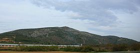
Elevation 635 m (2,083 ft) Listing Mountains of the Valencian Community Location Baix Maestrat,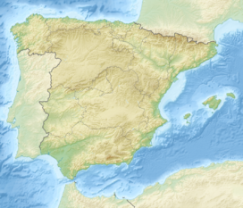
 Cervera Mountains
 Valencian Community
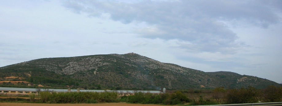
Range Mediterranean System, Southern zone Coordinates (ES-CT)_ 40°28′54″N 0°16′34″E / 40.48167°N 0.27611°ECoordinates: (ES-CT)_ 40°28′54″N 0°16′34″E / 40.48167°N 0.27611°E Geology Type karstic Climbing Easiest route drive from La Jana or Traiguera The Cervera Mountains (Valencian: Muntanyes de Cervera) is a 18.8 km (12 mi) long mountain range in the Baix Maestrat comarca, Valencian Community, Spain. In some ancient texts these mountains are known as Serra d'en Menor. Its highest point is Revoltons (635 m).
Contents
Location
The Cervera Mountains rise north of the Cervera del Maestrat town, south of Traiguera and east of La Jana. They are located in the transitional zone between the Mediterranean and the continental climate. In the winter the weather is colder than in the coastal mountain ranges and the summits are often covered in snow for a few days after each snowstorm.[1]
See also
- Mountains of the Valencian Community
- Maestrat/Maestrazgo
References
- Flora de la Província de Castelló (Spanish)
External links
Categories:- Mountains of the Valencian Community
- Mountain ranges of Spain
- Baix Maestrat

Wikimedia Foundation. 2010.