- Naramata Dam
-
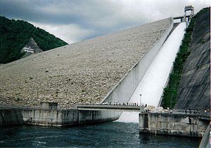
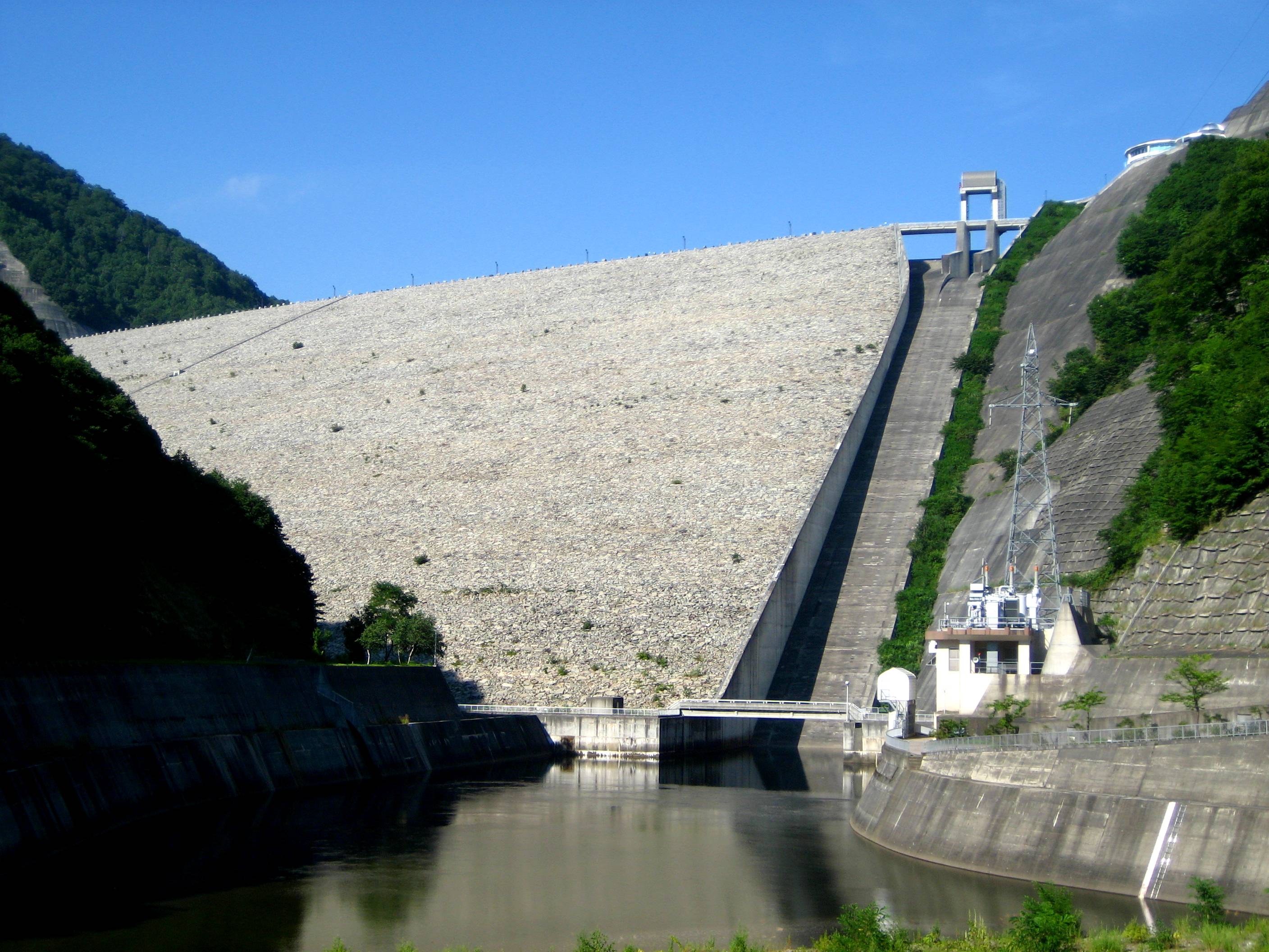
Naramata Dam 
Location Minakami, Gunma Prefecture, Japan. Construction began 1973 Opening date 1990 Dam and spillways Height 158 m Length 520 m Impounds Naramata River Reservoir Creates Lake Naramata Capacity 90,000,000 m³ Catchment area 95.4 km² Surface area 200 hectares Naramata Dam is a dam near Minakami, in the Gunma Prefecture of Japan. It supports a 12.2 MW hydroelectric power station.[1]
References
- ^ "Hydroelectric Power Plants in Japan - Gunma". IndustCards. http://www.industcards.com/hydro-japan-gunma.htm. Retrieved 3 October 2010.
Dams in Gunma Prefecture Aimata Dam · Fujiwara Dam · Kusaki Dam · Nakagi Dam · Naramata Dam · Nozori Dam · Sakamoto Dam · Shimagawa Dam · Shimokubo Dam · Shinaki Dam · Shinsui Dam · Shirasuna Dam · Sonohara Dam · Sudagai Dam · Takatsudo Dam · Tamahara Dam · Ueno Dam · Yagisawa Dam · Yanba DamCoordinates: 36°52′57″N 139°04′46″E / 36.8825°N 139.07944°E
Categories:- Technology articles needing translation from Japanese Wikipedia
- Dams in Gunma Prefecture
- Japanese dam stubs

Wikimedia Foundation. 2010.