- Dumre Dharapani
-
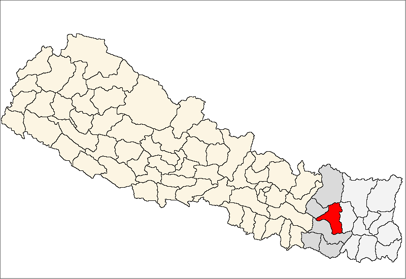
Dumre Dharapani — Village Development Committee — Location in Nepal
 Dumre Dharapani
Coordinates: 27°18′N 86°42′E / 27.30°N 86.70°ECoordinates: 27°18′N 86°42′E / 27.30°N 86.70°E Country  Nepal
NepalZone Sagarmatha Zone District Khotang District Population (1991) – Total 3,305 Time zone Nepal Time (UTC+5:45) Dumre Dharapani is a town and Village Development Committee in Khotang District in the Sagarmatha Zone of eastern Nepal. At the time of the 1991 Nepal census it had a population of 3,305.[1]
References
- ^ "Nepal Census 2001". Nepal's Village Development Committees. Digital Himalaya. http://www.digitalhimalaya.com/collections/nepalcensus/form.php?selection=1. Retrieved 30 September 2008.
External links
Ainselu Kharka, Arkhale, Badahare, Badka Dipali, Bahunidanda, Bakachol, Baksila, Bamrang, Barahapokhari, Baspani, Batase, Bijaya Kharka, Buipa, Chhitapokhari, Chhorambu, Chipring, Chisapani, Chyandada, Chyasmitar, Damarkhu Shivalaya, Dandagaun, Devisthan, Dharapani, Dhitung, Dikuwa, Diplung, Dipsung, Dorpachiuridada, Dumekoldada, Dumre Dharapani, Durchhim, Faktang, Ghitung, Hauchour, Indrayani Pokhari, Jalapa, Jyamire, Kahalle, Kaule, Kharmi, Kharpa, Khartamchha, Khidima, Khotang Bazar, Kuvinde, Lafyang, Lamidanda, Lichki Ramche, Linkuwa Pokhari, Magpa, Mahadevasthan, Mangaltar, Mattim Birta, Mauwabote, Nerpa, Nirmalidada, Nunthala, Patheka, Pauwasera, Phedi, R. Maheswori, Rajapani, Rakha Bangdel, Rakha Dipsung, Ratancha Majhagau, Ribdung Jaleswori, Ribdung Maheswori, Salle, Santeswor Chhitapokhari, Sapteswor, Saunechaur, Sawakatahare,
Simpani, Sungdel, Suntale, Tempa, Woplukha, Wopung, Yamkhya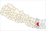 Categories:
- Populated places in Khotang District
- Sagarmatha Zone geography stubs

Wikimedia Foundation. 2010.