- Diktel
-
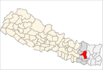
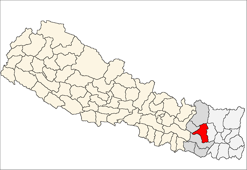
Diktel — Municipality — Diktel, Nepal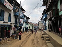 Location in Nepal
 Diktel
Coordinates: 27°12′50″N 86°47′52″E / 27.21389°N 86.79778°ECoordinates: 27°12′50″N 86°47′52″E / 27.21389°N 86.79778°E Country  Nepal
NepalZone Sagarmatha Zone District Khotang District Elevation 1,530 m (5,020 ft) Population (1991) – Total 7,324 Time zone Nepal Time (UTC+5:45) Diktel is the headquarters of Khotang District, a part of Sagarmatha Zone, Nepal. At the time of the 1991 Nepal census it had a population of 7,324 persons residing in 1,433 individual households.[1]
The town is located at 27°12′50″N 86°47′52″E / 27.21389°N 86.79778°E and has an altitude of 1,530 metres (5,020 ft). It contains a notable jail.[2] During the Civil War the town was attacked by hundreds of Maoists rebels who also broke into Diktel jail and freed inmates[3]
References
- ^ "Nepal Census 2001". Nepal's Village Development Committees. Digital Himalaya. http://www.digitalhimalaya.com/collections/nepalcensus/form.php?selection=1. Retrieved 2008-09-30.
- ^ Asia Watch Committee (U.S.) (September 1989). Human rights violations in Nepal. Human Rights Watch. pp. 83–86. ISBN 9780929692319. http://books.google.com/books?id=CnTFLXce3toC&pg=PA83. Retrieved 4 January 2011.
- ^ Five killed in Nepal rebel attack - BBC News
External links
 Categories:
- Populated places in Khotang District
- Khotang District
- Sagarmatha Zone geography stubs
- Nepal geography stubs


Wikimedia Foundation. 2010.