- Cojutepeque
-
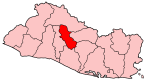
Cojutepeque — Municipality — 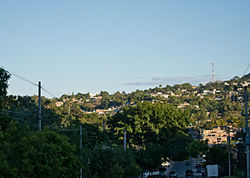 Location in El Salvador
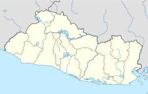
 Cojutepeque
Coordinates: 13°43′N 88°56′W / 13.717°N 88.933°W Country  El Salvador
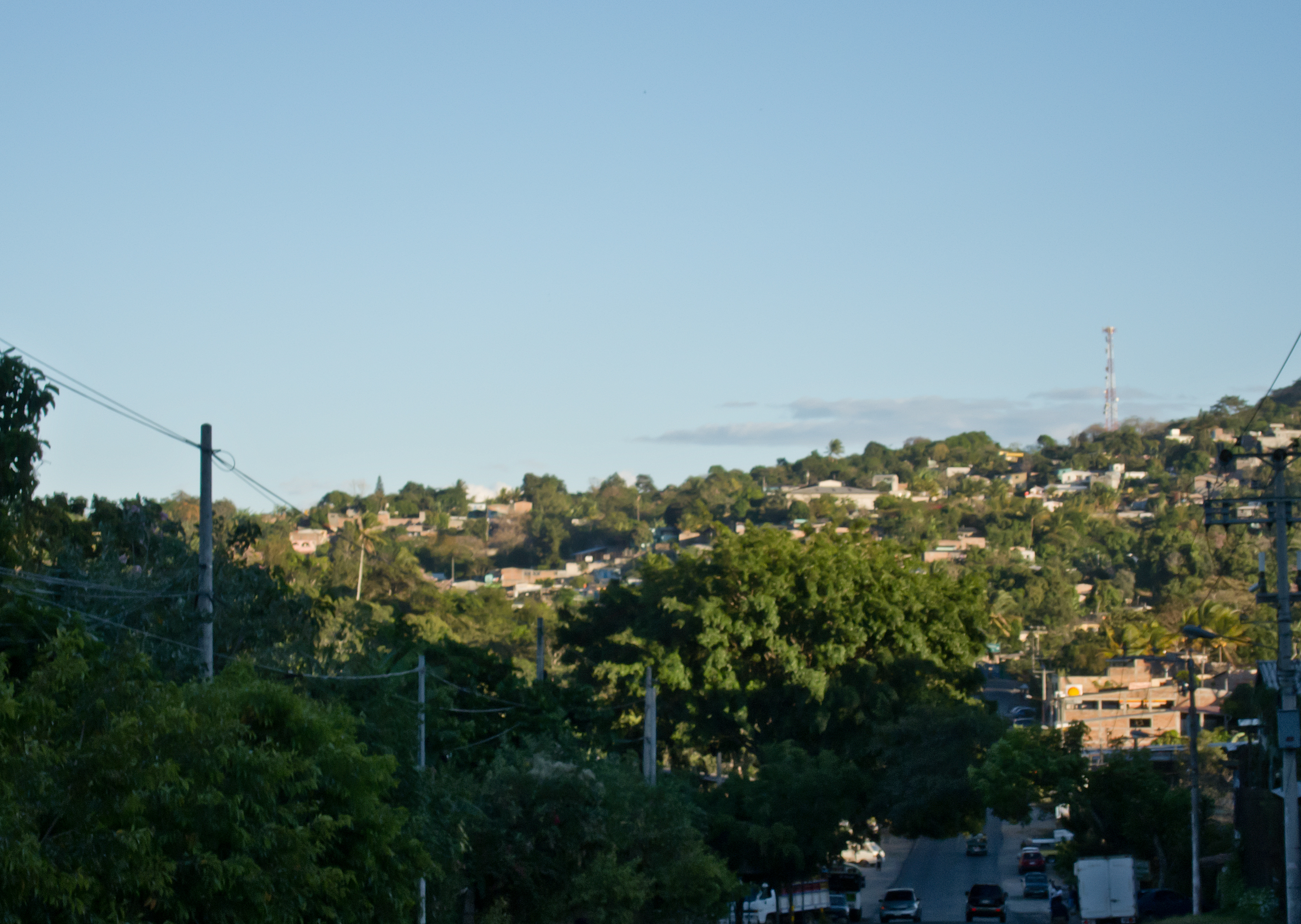
Department Cuscatlán Department Area - Total 12.1 sq mi (31.43 km2) Population - Total 70,000 Cojutepeque is the capital city of El Salvador's Cuscatlán department. It also serves as the administrative centre for the surrounding municipality of Cojutepeque. Its population is estimated at 70,000 people with about 85% living in the urban areas of the municipality.[1]
The Pan-American Highway connects Cojutepeque with San Salvador 33 km away.[1]
Its height is 850 meters above sea level; it enjoys a pleasant climate. Its nickname is "City of the Mists."[1]
The name Cojutepeque is derived from the Nahuatl words for "place [or peak] of turkeys."[1] It received the title of city in 1846. The ancient churches of San Juan Degollado, San José and San Sebastián can be found in the city. Cojutepeque's patron saint is Saint Sebastian, and there is a fair in honor of Saint John the Baptist (San Juan Degollado).[1]
Cereals, sugarcane, loaf-sugar, panela, and fruit are cultivated and grown here, and local industries include the manufacture of hats made out of palm-fronds. The sausages of Cojutepeque (los chorizos de Cojutepeque) are known throughout El Salvador.[1]
The football club Cojutepeque F.C. is based here.
Its principal tourist attraction is Cerro de las Pavas, from which the lake of Ilopango, the volcano of San Vicente, and the Valley of Jiboa can be seen.[1]
Contents
Cerro de las Pavas
The peak known as Cerro de las Pavas can be reached via two roads from Cojutepeque: one for cars, the other a zigzagging path for pedestrians.[1]
In 1924, Governor Fidel Novoa began an improvement program for the peak and built the park known as Parque de Montaña. During the administration of President Óscar Osorio, the pathways leading to the peak were improved thanks to the efforts of the poet Raúl Contreras.[1]
There is a grotto on the peak that displays an image of the Our Lady of Fátima. A pilgrimage to this grotto occurs in May and is a major religious festival in El Salvador.[1]
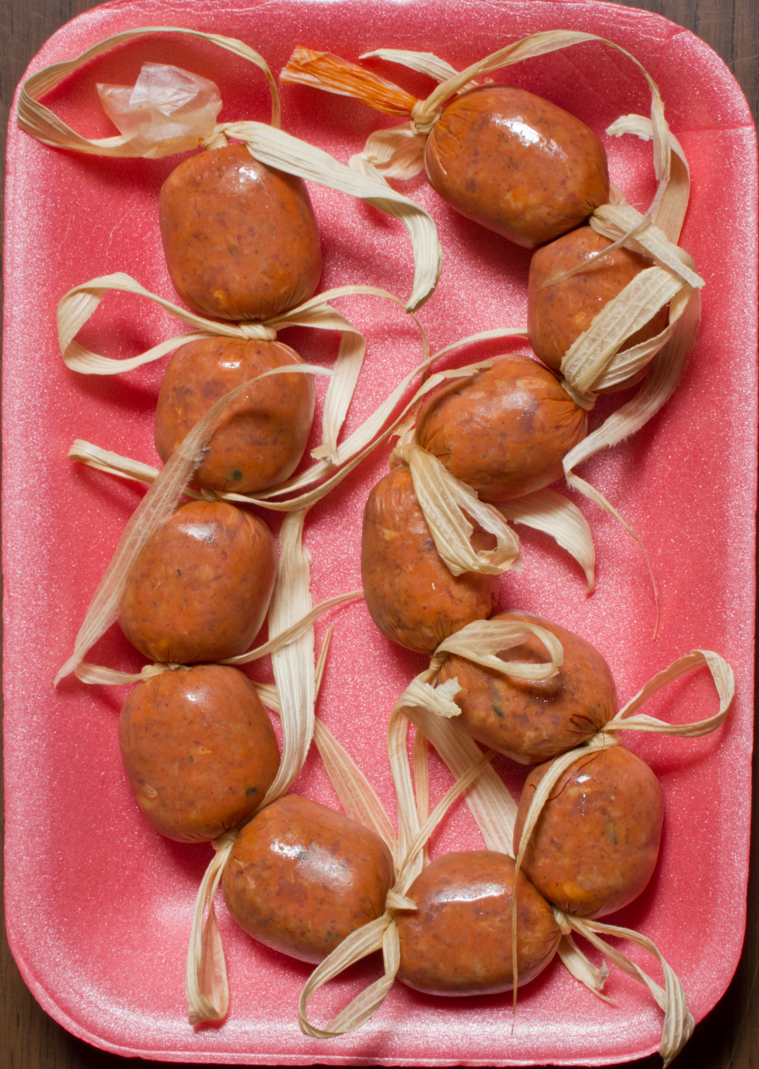
Chorizos
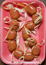 Example of Chorizos, made in Cojutepeque, as bought in a local supermarket
Cojutepeque is known in El Salvador for various sausages or chorizos, especially the Chorizos de Cojutepeque. These chorizos are typically tied with corn husks between the links. The chorizos are shipped to other parts of the country and sold. The example on the left is made with pork, beef, iodized salt, and additives (soy protein, sodium nitrate, sodium benzoate, achiote, herbs, and spices).
Notes
External links
Coordinates: 13°43′N 88°56′W / 13.717°N 88.933°W
Capital: Cojutepeque Municipalities · Candelaria · Cojutepeque
· El Carmen · El Rosario · Monte San Juan · Oratorio de Concepción · San Bartolomé Perulapía · San Cristóbal · San José Guayabal · San Pedro Perulapán · San Rafael Cedros · San Ramón · Santa Cruz Analquito · Santa Cruz Michapa · Suchitoto · Tenancingo · Zacatecas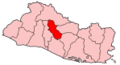 Categories:
- Municipalities of the Cuscatlán Department
- Populated places in El Salvador
- El Salvador geography stubs

Wikimedia Foundation. 2010.