- Maipokhari
-
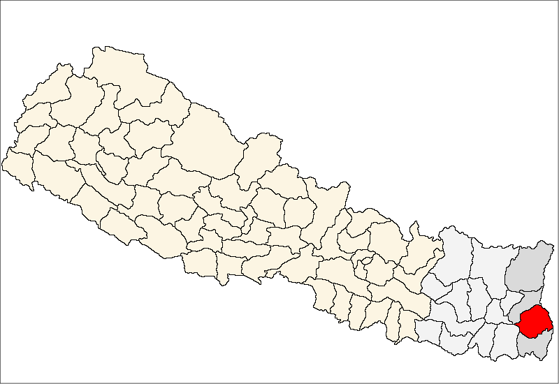
Maipokhari — Village Development Committee — Location in Nepal
 Maipokhari
Coordinates: 27°03′N 87°54′E / 27.05°N 87.90°ECoordinates: 27°03′N 87°54′E / 27.05°N 87.90°E Country  Nepal
NepalZone Mechi Zone District Ilam District Population (1991) – Total 3,625 Time zone Nepal Time (UTC+5:45) Maipokhari is a town and Village Development Committee in Ilam District in the Mechi Zone of eastern Nepal. At the time of the 1991 Nepal census it had a population of 3,625 persons living in 617 individual households.[1]
References
- ^ "Nepal Census 2001". Nepal's Village Development Committees. Digital Himalaya. http://www.digitalhimalaya.com/collections/nepalcensus/form.php?selection=1. Retrieved 17 September 2008.
External links
Amchok, Bajho, Barbote, Chameta, Chisapani, Chulachuli, Danabari, Dhuseni, Ebhang, Ektappa, Emang, Erautar, Gajurmukhi, Ghuseni, Goduk, Gorkhe, Jamuna, Jirmale, Jitpur, Jogmai, Kanyam, Kolbung, Laxmipura, Lumbe, Mabu, Mahamai, Maimajhuwa, Maipokhari, Mangalbare, Namsaling, Naya Bazar, Panchakanya, Pashupatinagar, Phakphok, Phikal Bazar, Phuyatappa, Puwamajwa, Pyang, Sakfara, Sakhejung, Samalpung, Sangrumba, Shanti Danda, Shantipur, Shree Antu, Siddhithumka, Soyak, Soyang, Sri Antu, Sulubung, Sumbek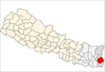 Categories:
- Populated places in Ilam District
- Mechi Zone geography stubs

Wikimedia Foundation. 2010.