- Dohali
-
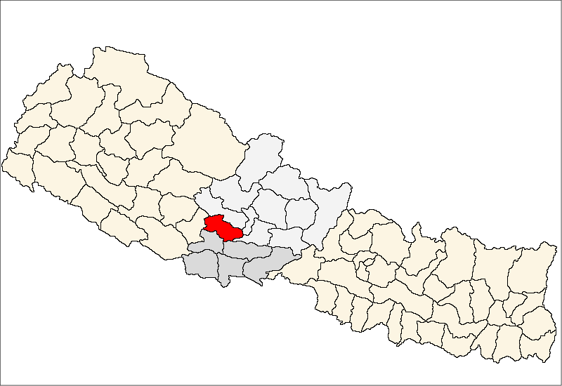
Dohali — Municipality — Location in Nepal
 Dohali
Coordinates: 28°12′N 83°13′E / 28.20°N 83.22°ECoordinates: 28°12′N 83°13′E / 28.20°N 83.22°E Country  Nepal
NepalZone Lumbini Zone District Gulmi District Population (1991) – Total 3,713 Time zone Nepal Time (UTC+5:45) Dohali is a town and municipality in Gulmi District in the Lumbini Zone of central Nepal. At the time of the 1991 Nepal census it had a population of 3713 persons living in 660 individual households.[1]
References
- ^ "Nepal Census 2001". Nepal's Village Development Committees. Digital Himalaya. http://www.digitalhimalaya.com/collections/nepalcensus/form.php?selection=1. Retrieved 15 September 2008.
External links
Aaglung, Aapchaur, Amar Abathok, Amarpur, Apchaur, Arbani, Arje, Arkhale, Arkhawang, Arlangkot, Aslewa, Badagaun, Bajhketeri, Baletaksar, Balithum, Bamgha, Bami, Bastu, Bhanbhane, Bharse, Bhurmung, Birbas, Bisukharka, Chhapahile, Dalamchaur, Darbar Devisthan, Darling, Daungha, Dhamir, Dhurkot Bastu, Dhurkot Bhanbhane, Dhurkot Nayagaun, Dhurkot Rajasthal, Digam, Dirbung, Dohali, Dubichaur, Foksing, Gaidakot, Gurukot Rajasthal, Gwadha, Gwadi, Hadahade, Hadinete, Hansara, Harewa, Harmichaur, Harrachaur, Hasara, Hastichaur, Hawangdi, Hunga, Isma Rajasthal, Jaisithok, Jayakhani, Johang, Juniya, Juvung, Khadgakot, Kharjyang, Kurgha, Limgha, Malagiri, Murtung, Musikot, Myal Pokhari, Nayagaun, Neta,
Palkikot, Paralmi, Paudi Amarahi, Pipaldhara, Purkot Daha, Purtighat, Reemuwa, Rupakot, Ruru, Shantipur, Simichaur, Siseni, Thanpati, Thulo Lumpek, Turang, Wagla, Wamitaksar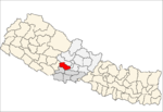 Categories:
- Populated places in Gulmi District
- Lumbini Zone geography stubs

Wikimedia Foundation. 2010.