- Musikot
-
Musikoţ (Jhumlikhalanga)
मुसिकोट— Municipality — Country  Nepal
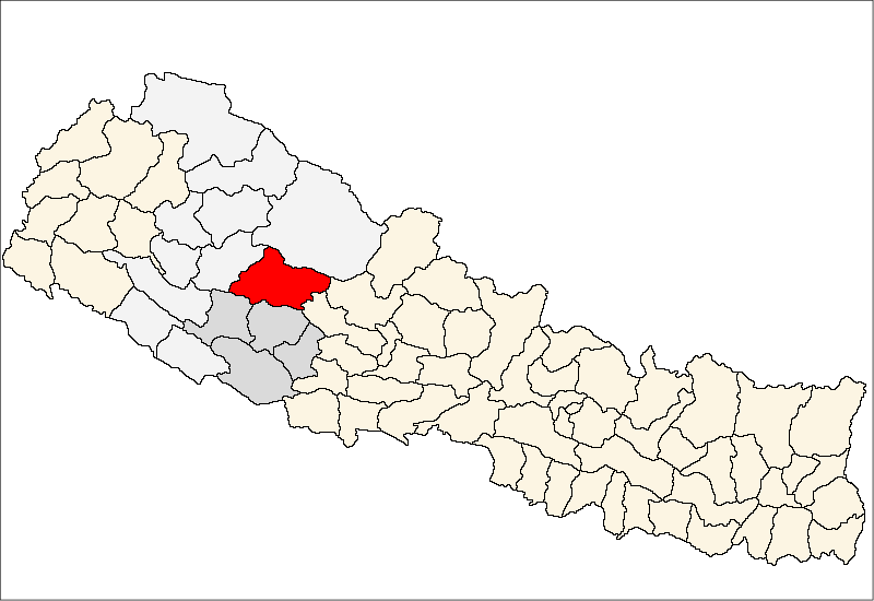
NepalZone Rapti Zone District Rukum District Population (2001) - Total 7,279 Time zone Nepal Time (UTC+5:45) 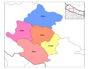 Districts in Rapti Zone; Rukum at top in blue
Musikot (also called Jhumlikhalanga) is the headquarters of Rukum District in Rapti Zone of central Nepal. At the time of the 2001 Nepal census it had a population of 7,279 persons living in 1,474 individual households.[1]
References
- ^ "Nepal Census 2001". Nepal's Village Development Committees. Digital Himalaya. http://www.digitalhimalaya.com/collections/nepalcensus/form.php?selection=59. Retrieved 11 March 2011.
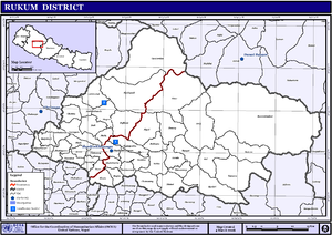 VDCs in Rukum
External links
Aathbis Danda, Aathbis Kot, Arma, Bapsekot, Bhalakachha, Chaurjahari, Chhiwang, Chokhawang, Chunwang, Duli, Garayala, Gautamkot, Ghetma, Hukam, Jang, Jhula, Kanda, Kankri, Khara, Kholagaun, Kol, Kotjahari, Magma, Mahat, Morawang, Muru, Nuwakot, Pipal, Pokhara, Purtim Kanda, Pwang, Pyaugha, Rangsi, Ranmamekot, Rugha, Simli, Sisne, Sobha, Syalagadi, Syalapakha, Taksera Categories:
- Populated places in Rukum District
- Rapti Zone geography stubs


Wikimedia Foundation. 2010.