- Tooms Lake, Tasmania
Infobox Australian Place | type = town
name = Tooms Lake
state = tas
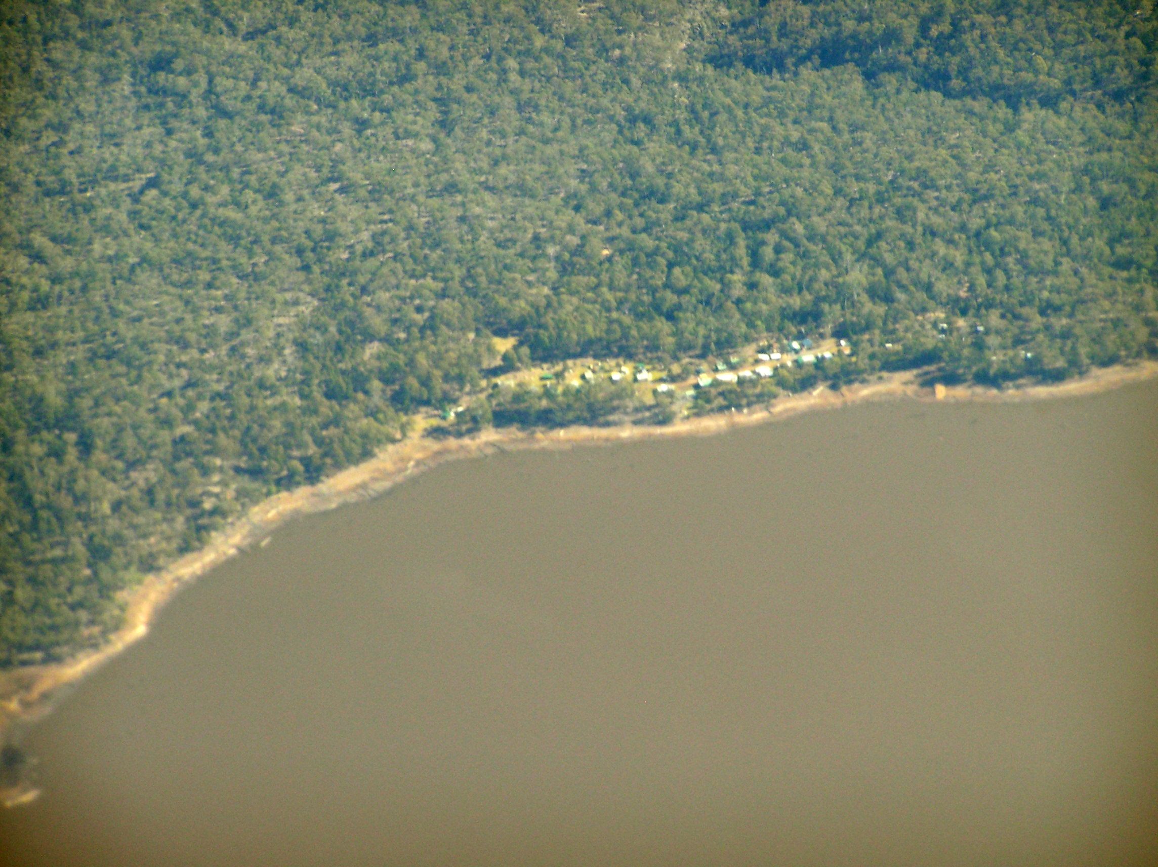
caption = Aerial photo from the east. Village is at the top of the lake.
lga = North Midlands Council
postcode = 7209
est =
pop = 271
elevation= 464
maxtemp =
mintemp =
rainfall =
stategov = Lyons
fedgov = Lyons
dist1 = 83
dir1 = N
location1= Hobart
dist2 =
dir2 = S
location2= Launceston
dist3 =
dir3 =
location3=Tooms Lake is the name of both a lake and a village in the eastern midlands of
Tasmania . The lake is artificial and shallow [R L Croome and P A Tylor: [http://www.springerlink.com/index/T73V37X710448405.pdf "Phytoplankton biomass and primary productivity of Lake Leake and Tooms Lake, Tasmania"] ] covering 6.6 km²http://search.frdc.com.au/search/cache.cgi?collection=ifc&doc=http/www.ifc.tas.gov.au/pdf%252520files/Tooms%252520%252520FPA.pdf.pan.txt] The lake can hold 25.362gigaliter s of water. [http://www.northmidlands.tas.gov.au/lakes/lake.asp?lake=2&styled=y] The catchment area is 60.2 km². It is drained by the Tooms River, which flows into the Macquarie River The lake is reached by the gravel Tooms Lake Road [http://www.domain.com.au/Public/suburbprofile.aspx?mode=research&searchTerm=Tooms%20Lake] 83 km from Hobart. [http://myboot.com.au/7209/Tooms%20Lake/suburb.aspx] .Seaplane s land on the lake several times per year. [http://www.abc.net.au/rural/tas/stories/s764358.htm]The lake is used for recreational fishing, for
brown trout andrainbow trout . [http://www.ifs.tas.gov.au/ifs/IFSDatabaseManager/WatersDatabase/tooms-lake] Brown trout were introduced in 1904 and Rainbow trout were released around 1908. Trout are usually 1 to 1½ kg with the largest 2½ kg.Kuth Energy is drilling ageothermal energy exploration borehole in the area called Tooms1. [http://www.businessspectator.com.au/bs.nsf/Article/Kuth_Energy_starts_drilling_at_Tooms_Lake_8G62T?OpenDocument]Other creatures found in Tooms Lake are
Galaxias maculatus or jollytail.Amenities
Amenities include a camping ground, boat ramp, public toilet and rubbish bin. There are no shops or public phone service. [http://www.mast.tas.gov.au/domino/mast/facweb.nsf/v-web-facilities-area/6F590803F098E786CA256BBF0027A9C0?OpenDocument] The lake is located at 42.2236°S 147.7822°E and is 468 m above sea level. [http://www.weatherzone.com.au/station.jsp?lt=site&lc=92079&list=rb]
Water flowing from the Tooms Lake has an average
electrical conductivity of 74 μS/cm. [http://www.dpiw.tas.gov.au/inter.nsf/attachments/wweb-64p8a8/$file/sth%20esk%20basin%207%20macquarie%201.pdf] Infobox lake
align = left
lake_name = Tooms Lake
image_lake = Tooms Lake map.png
image_bathymetry =
caption_bathymetry =
location =Tasmania
coords =
type =reservoir
inflow = Jimmys Creek
outflow = Tooms River
catchment = 60.2 km²
basin_countries = Australia
length =
width =
area = 6.6 km²
depth =
max-depth =
volume = 25.362 gigaliters
residence_time =
shore =
elevation = 468
islands = none
cities =
frozen = noThere is also a Tooms Lake in
Sudbury, Ontario Canada.History
On 6 December 1828 a massacre of
Tasmanian aborigines occured where ten were killed by nine soldiers from the 40th regiment. John Danvers, the guide of the group, reported to the Oatlands police magistrate: "One of them getting up from a small fire to a large one, discovered us and gave the alarm to the rest, and the whole of them jumpt (sic) up immediately and attempted to take up their spears in defence, and seeing that, we immediately fired and repeated it because we saw they were on the defensive part, they were about twenty in Number and several of whom were killed, two only were, unfortunately taken alive.". A woman and a boy were captured and the rest of the group escaped. ["Abduction and Multiple Killings of Aborigines in Tasmania:1804-1835" by Lyndall Ryan in " [http://www.yale.edu/gsp/colonial/downloads/Aborigines_in_Tasmania.doc Electronic Encyclopedia of Genocide and Massacre] "]The dam on the lake was built by 40 men.
References
Resources
* [http://search.archives.tas.gov.au/default.aspx?detail=1&type=I&id=AA613/1/22 Archives Office of Tasmania]
Wikimedia Foundation. 2010.