- South Fork John Day River
Geobox | River
name = South Fork John Day River
category = River
image_size =
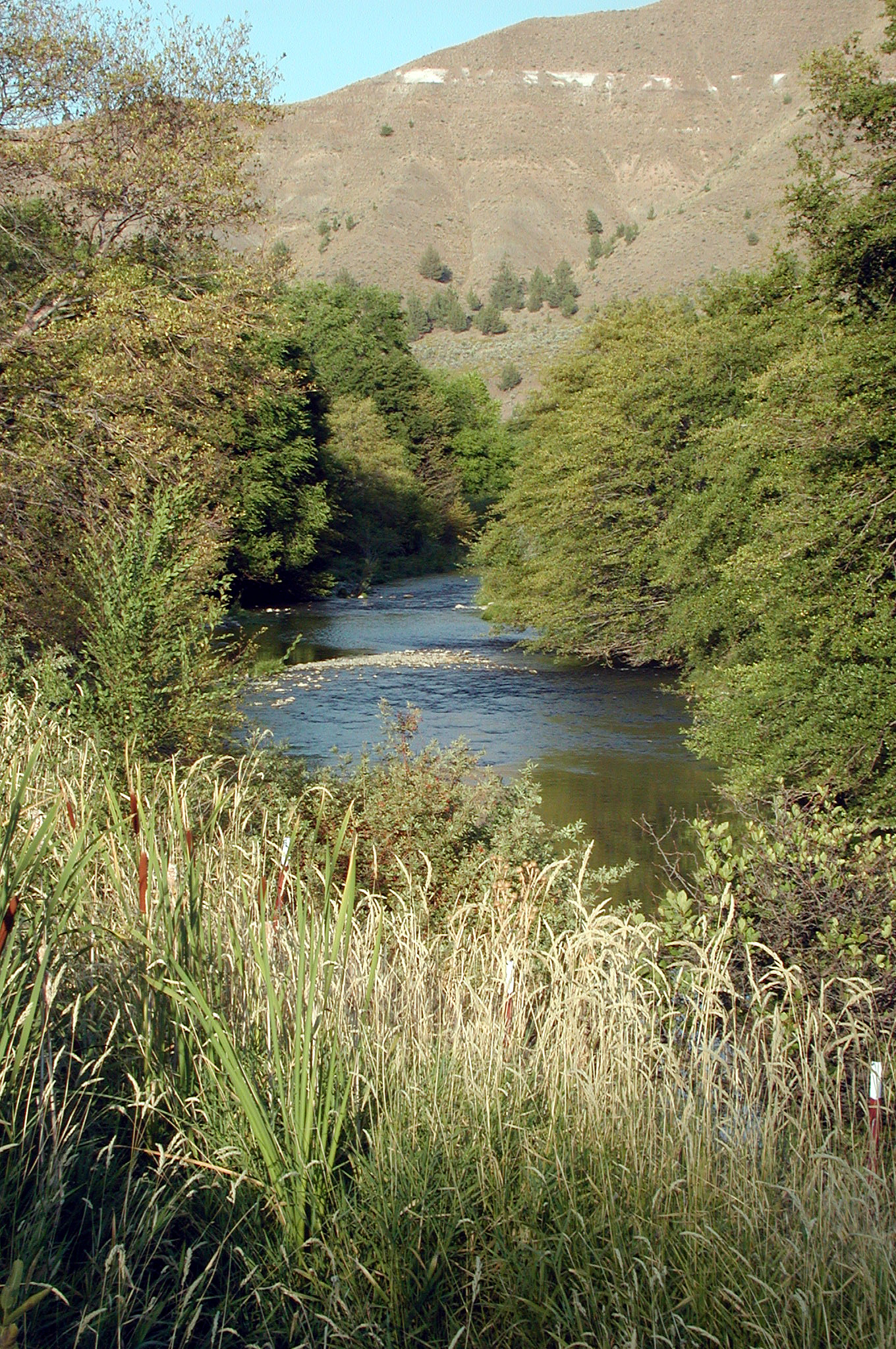
image_caption = South Fork John Day River at Dayville
etymology = John Day, fur trapper
country = United States
country_
state = Oregon
district_type = County
district = Harney, Grant
source =
source_location = near Alsup Mountain, Malheur National Forest
source_region = Harney County
source_state = Oregon
source_elevation_imperial = 5396
source_elevation_note = Source elevation derived fromGoogle Earth search using GNIS source coordinates.]
source_length_imperial =
source_lat_d = 43
source_lat_m = 55
source_lat_s = 09
source_lat_NS = N
source_long_d = 119
source_long_m = 19
source_long_s = 17
source_long_EW = W
source_coordinates_note =
mouth_name =John Day River
mouth_location = Dayville
mouth_district =
mouth_region = Grant County
mouth_state = Oregon
mouth_country =
mouth_note =
mouth_lat_d = 44
mouth_lat_m = 28
mouth_lat_s = 26
mouth_lat_NS = N
mouth_long_d = 119
mouth_long_m = 32
mouth_long_s = 10
mouth_long_EW = W
mouth_coordinates_note =
mouth_elevation_imperial = 2326
mouth_elevation_note = cite web | work =Geographic Names Information System (GNIS)| publisher = United States Geological Survey (USGS) | date = November 28, 1980 | url = http://geonames.usgs.gov/pls/gnispublic/f?p=gnispq:3:::NO::P3_FID:1149981 | title = South Fork John Day River | accessdaymonth = September 3, | accessyear = 2008]
length_imperial = 54
length_round = 0
length_note = Length from mouth to Smoky Creek is about convert|6.5|mi|km. cite web | title = Online Topographic Maps from the United States Geological Survey | publisher = TopoQuest | url = http://www.topoquest.com/map.php?lat=44.4278395296&lon=-119.536111&datum=nad83&zoom=4&] Length from Smoky Creek to source is convert|47|mi|km. cite web | title = South Fork John Day River | publisher = U.S. National Wild and Scenic Rivers System | date = 2007 | url = http://www.rivers.gov/wsr-john-day-south.html | accessdaymonth = September 4, | accessyear = 2008]
watershed_imperial = 590
watershed_round = 0
watershed_note = cite web| title= USGS 14039500 South Fork John Day Near Dayville, OR| publisher = United States Geological Survey |date = 2008 | url = http://waterdata.usgs.gov/nwis/nwisman/?site_no=14039500 | accessdaymonth = September 4, | accessyear = 2008 ]
discharge_location =Dayville, Oregon , near mouth
discharge_round = 0
discharge_imperial = 179
discharge_note = [Average discharge rate was calculated by adding average annual discharge rates for the four calendar years, 1952–55, for which data was available from the USGS and dividing by 4.]
discharge_min_imperial =
discharge_max_imperial =
discharge1_location =
discharge1_imperial =
discharge1_note =
map_size =
map_caption =
map1 = Oregon Locator Map.png
map1_caption = Location of the mouth of the South Fork John Day River in Oregon
map1_locator = Oregon
commons =The South Fork John Day River is a convert|54|mi|km|adj=on tributary of the
John Day River in the U.S. state ofOregon . It begins in theMalheur National Forest in Harney County about convert|25|mi|km north-northwest of Burns and flows generally north to Dayville, where it meets the main stem of the John Day River. Along the way, the stream passes through the abandoned town of Izee.Black Canyon Wilderness in theOchoco National Forest lies within the river'sdrainage basin .cite map |publisher = DeLorme Mapping |title = Oregon Atlas & Gazetteer |edition = 1991 | section = 71, 77]The upper convert|47|mi|km of the river, from the headwaters to the confluence with Smoky Creek, about convert|6.5|mi|km from the mouth, are included in the
National Wild and Scenic River (NWSR) system. The NWSR classifies all but the stretch below Smoky Creek as recreational, with places for hiking, swimming, camping, hunting, and fishing.ee also
*
List of Oregon rivers
*List of National Wild and Scenic Rivers References

Wikimedia Foundation. 2010.