Chańcza, Świętokrzyskie Voivodeship

Chańcza, Świętokrzyskie Voivodeship
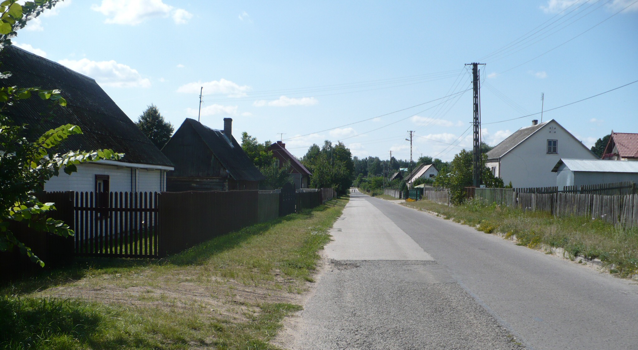
Chańcza
—  Village  —
A road through the village
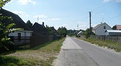
Chańcza is located in Poland
Chańcza
Coordinates: 50°38′45″N 21°4′19″E / 50.64583°N 21.07194°E / 50.64583; 21.07194
Country  Poland
Voivodeship Świętokrzyskie
County Kielce County
Gmina Raków
Population 441

Chańcza [ˈxaɲt​͡ʂa] is a village in the administrative district of Gmina Raków, within Kielce County, Świętokrzyskie Voivodeship, in south-central Poland. It lies approximately 4 kilometres (2 mi) south-east of Raków and 42 km (26 mi) south-east of the regional capital Kielce.[1]

The village has a population of 441.

Next to the village, there is Chańcza artificial lake.

References


Coordinates: 50°38′45″N 21°4′19″E / 50.64583°N 21.07194°E / 50.64583; 21.07194


Wikimedia Foundation. 2010.

Игры ⚽ Нужен реферат?

Look at other dictionaries:

  • Gmina Raków — Infobox Settlement name = Gmina Raków other name = Raków Commune settlement type = Gmina total type = Total image shield = subdivision type = Country subdivision name = POL subdivision type1 = Voivodeship subdivision name1 = Świętokrzyskie… …   Wikipedia

  • Dębno, Gmina Raków — For other places with the same name, see Dębno (disambiguation). Dębno   Village   …   Wikipedia

  • Drogowle —   Village   …   Wikipedia

  • Mędrów —   Village   …   Wikipedia

  • Nowa Huta, Gmina Raków — For other places with the same name, see Nowa Huta (disambiguation). Nowa Huta   Village   …   Wikipedia

  • Ociesęki —   Village   …   Wikipedia

Share the article and excerpts

Direct link
Do a right-click on the link above
and select “Copy Link”