- Gorkhunga
-
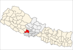
Gorkhunga — Village development committee — Location in Nepal
 Gorkhunga
Coordinates: 28°05′N 83°01′E / 28.08°N 83.02°ECoordinates: 28°05′N 83°01′E / 28.08°N 83.02°E Country  Nepal
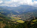
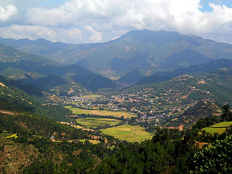
NepalZone Lumbini Zone District Arghakhanchi District Population (1991) - Total 2,918 - Religions Hindu Time zone Nepal Time (UTC+5:45) Gorkhunga is a village in Arghakhanchi District in the Lumbini Zone of southern Nepal. At the time of the 1991 Nepal census it had a population of 2,918 and had 605 houses in the village.[1]
References
- ^ "Nepal Census 2001". Nepal's Village Development Committees. Digital Himalaya. http://www.digitalhimalaya.com/collections/nepalcensus/form.php?selection=1. Retrieved 2008-08-23.
Adguri · Argha · Arghatos · Asurkot · Balkot · Bangi · Bangla · Bhagawati · Chhatraganj · Chidika · Dhakawang · Dhanchaur · Dharapani · Dhatiwang · Dhikura · Dibharna · Gorkhunga · Hansapur · Jukena · Juluke · Keemadada · Kerunga · Khan · Khanchikot · Khandaha · Khidim · Khilji · Maidan · Mareng · Narapani · Nuwakot · Pali · Parena · Pathauti · Pathona · Pokharathok · Siddhara · Simalapani · Sitapur · Subarnakhal · Thada · Thulo PokharaChorgunda
 Categories:
- Populated places in Arghakhanchi District
- Lumbini Zone geography stubs


Wikimedia Foundation. 2010.