Ağqışlaq, Akuşapeştə, Almu, Ambu, Andurma, Anzolu, Aran, Arta, Aşağı Amburdərə, Aşağı Bilnə, Aşağı Bradi, Axunahiran, Babagil, Babaküçə, Barzavu, Bibiyoni, Bilabənd, Bilavər, Bobla, Boykəndil, Bradi, Bülüdül, Burkandul, Bürsülüm, Buruq, Büzeyir, Camanşəir, Çayrud, Cəngəmiran, Cəngənəvud, Çeşman, Çokərə, Coni, Dangyaband, Davaradibi, Davıdonu, Dəstər, Dico, Digah, Digov, Digovdərə, Divağac, Dızdipok, Durğan, Əliabad, Əliabad, Əncəqov, Ərdəbilə, Əvilə, Gəndov, Gövdərə, Günəşli, Hamarat, Hamarmeşə, Haran, Hilədərə, Hıramo, Hivəri, Hovari, Hovil, Hübi, Hücü, Hüseynabad, Jindi, Kekonu, Kələxan, Kəlvəz, Ker, Keskon, Khush, Kıncıvo, Kirabin, Kirəvud, Köhnə Orand, Kornədi, Küman, Kürdəsər, Küsəkəran, Laman, Ləkər, Lələdulan, Lələkəran, Lərmərud, Livədirgə, Loda, Lüləkəran, Mastail, Məhləabad, Mistan, Molalan, Monidigah, Murya, Musavar, Naftonu, Namekyash, Nısa, Nisli, Nısovyədi, Nizhniy Gyaduk, Noda, Nücü, Nüravud, Nüsomurya, Nüvədi, Orand, Ordahal, Osnağaküçə, Osyedərə, Pendi, Peştətük, Piran, Pirəsora, Pirəsora, Pirzəkücə, Piyəküçə, Qadimkücə, Qələbin, Qələbın, Qəvoy, Qılqılov, Qırxıncı, Qışlaq, Qışlaq, Qışlaq, Qosələr, Qosmalyan, Qucu, Rəzəvül, Rəzgov, Rvarud, Shivlya, Şifəkəran, Şinəbənd, Şingədulan, Sipyəreğon, Şivlə, Siyov, Şonacola, Sors, Soru, Soruşçay, Tatoni, Təbrizli, Təndul, Təngəbin, Tikəbənd, Tülü, Tusova, Vamazğon, Vələçola, Vənədi, Veri, Verkhniy Gyaduk, Vıjaker, Vistən, Vizəzəmin, Vov, Xanəgah, Xəlfəhonu, Xəlfəkücə, Xəlfəlikənd, Xocadoy, Xozavi, Yuxarı Amburdərə, Yuxarı Bilnə, Yuxarı Bradi, Yuxarı Velik, Zardoni, Zenonu, Zərdəbərə, Zərigümaco, Zeynəko, Zövnə, Züvüc
 Murya
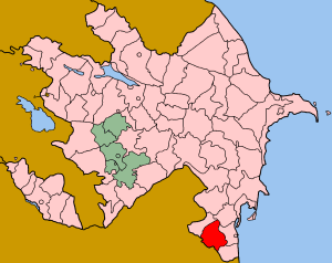
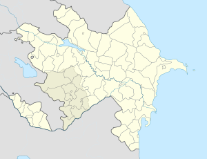
Murya Azerbaijan