- Stubb Drainage Windmill
Geobox|Windmill
name = Stubb Drainage Windmill
category = Windmill
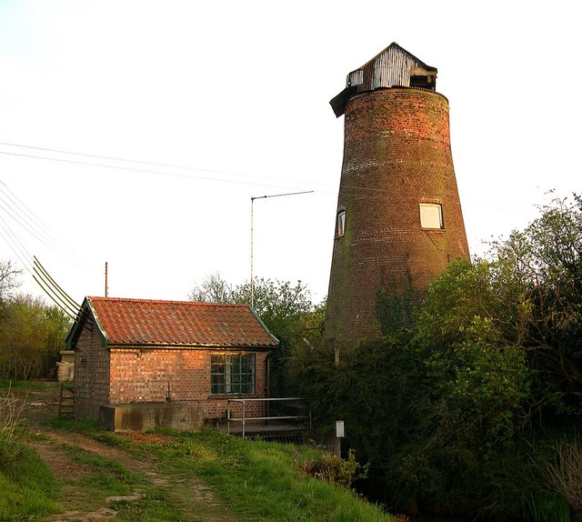
image_caption =Stubb Drainage east of the village of Hickling
symbol =
country =England
state =Norfolk
region =East of England
district =North Norfolk
municipality =Hickling
location = Stubb Road,Hickling
elevation =
prominence =
lat_d =
lat_m =
lat_s =
lat_NS =
long_d =
long_m =
long_s =
long_EW =
length =
length_orientation =
width =
width_orientation =
height =
depth =
volume =
area =
author =
style =
material =Norfolk red Brick
established =c1800
date =
owner =
public =
visitation =
visitation_date =
free = | free_type =
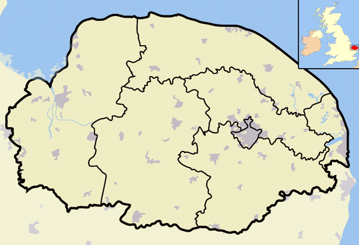
map_caption =Stubb Drainage Windmill withinNorfolk
map_background =
map_locator =
map_locator_x =88
map_locator_y =25
website =
footnotes = Map Ref: TG437220Stubb Drainage Windmill is 1.9 miles east of
Hickling in the English county ofNorfolk [ OS Explorer Map OL40, 2005, The Broads, ISBN 0 319 23769 9] . The Windmill is a Grade II listed building and was given this status on the 30th September 1987. The estimate is that there were once about 200 wind powered drainage windmills in the Broadlands. Stubb Drainage windmill is listed as one that is at risk of decay by Norfolk County Council [ [https://online.norfolk.gov.uk/buildingsatrisk/(S(d2otcwzrh5ch1t55qupn2gmf))/details.aspx?id=NO5118] /Norfolk County Council, Buildings at Risk Webpage] .History
Stubb Windmill is a towermill which was built between the years
1795 and1825 along with several other drainage windmills by Sir George Berney Brograve. Water discharged from Stubb mill flowed into Meadow dyke vie drains that were also constructed at the time, one of which is called the Commissioners drain. This work resulted in the loss of three small broads which were called Wigg’s, Gag’s and Hare Park Broads.References
Wikimedia Foundation. 2010.