- Cerro Santiago
-
Cerro Santiago  Guatemala (Jutiapa)
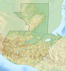
Elevation 1,192 m (3,911 ft) Location Coordinates 14°20′37″N 89°52′36″W / 14.34361°N 89.87667°WCoordinates: 14°20′37″N 89°52′36″W / 14.34361°N 89.87667°W Geology Type Volcanic field Last eruption unknown Cerro Santiago is one of the most prominent cinder cones of a volcanic field surrounding the city of Jutiapa in southern Guatemala.
See also
References
- "Cerro Santiago". Global Volcanism Program, Smithsonian Institution. http://www.volcano.si.edu/world/volcano.cfm?vnum=1402-15-.
Categories:- Mountains of Guatemala
- Volcanoes of Guatemala
- Guatemala geography stubs
Wikimedia Foundation. 2010.

