- North Fork Koyukuk River
-
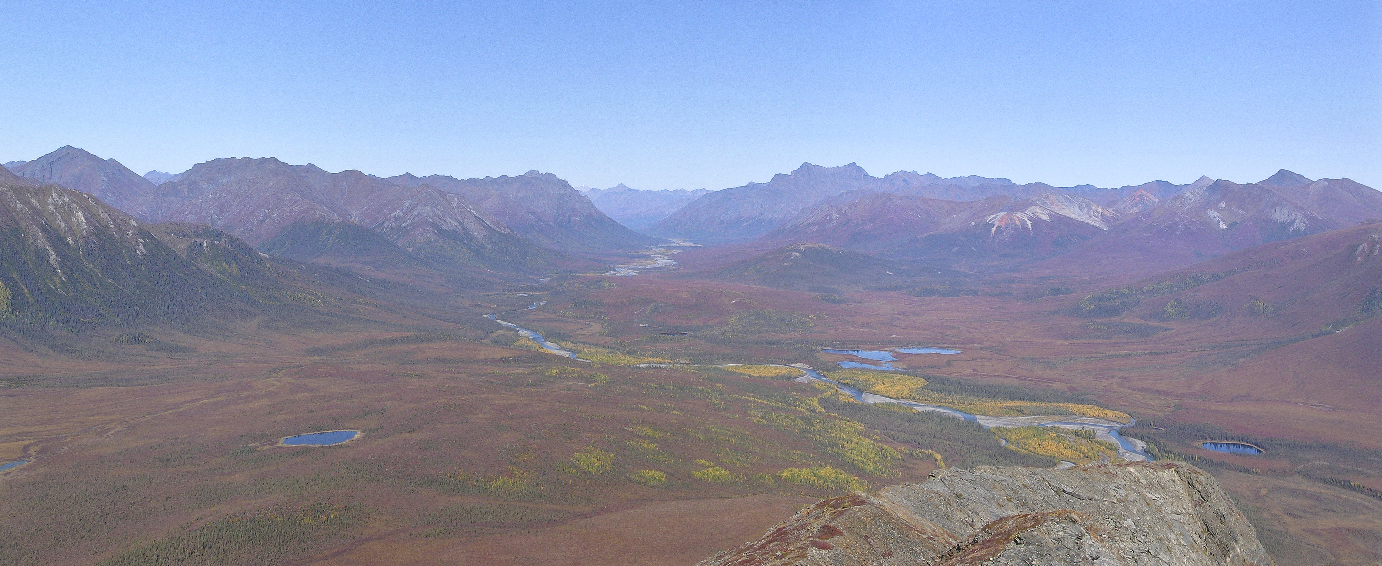
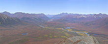 North Fork Koyukuk River as it passes through The Gates of the Arctic
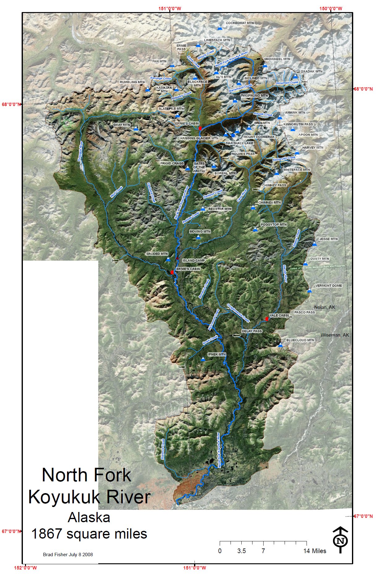
 Watershed map of the North Fork Koyukuk River
The North Fork of the Koyukuk River is one of the principal forks of the Koyukuk River, approximately 105 mi (160 km) long, in northern Alaska in the United States. It has a watershed area of 1850 square miles (4790 square km). It rises on the south slopes of the Continental Divide in the Brooks Range.
It is located the in Gates of the Arctic National Park and Preserve and is part of the Koyukuk Wild and Scenic River as designated by the United States Congress in 1980.
The major tributaries include the Glacier River, Tinayguk River, Clear River and flows into the Middle Fork of the Koyukuk River.
Robert Marshall thoroughly explored the system in 1929, naming many of the major peaks such as Mount Doonerak, Frigid Crags, Boreal Mountain and the Gates of the Arctic pass.
See also
- List of Alaska rivers
- List of National Wild and Scenic Rivers
External links
- Koyukuk Wild and Scenic River
- Koyukuk National Wildlife Refuge
- Explore the North Fork
- Trip up the North Fork
- Gates of the Arctic National Park and Preserve
Coordinates: 67°02′49″N 151°04′26″W / 67.04694°N 151.07389°W
Categories:- Landforms of North Slope Borough, Alaska
- Rivers of Alaska
- Wild and Scenic Rivers of the United States
- Landforms of Yukon–Koyukuk Census Area, Alaska
- Brooks Range
- Northern Alaska geography stubs
- Interior Alaska geography stubs
Wikimedia Foundation. 2010.