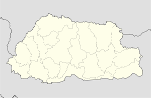
- Dala, Bhutan
-
Dala Location in Bhutan Coordinates: 26°51′0″N 89°32′59″E / 26.85°N 89.54972°ECoordinates: 26°51′0″N 89°32′59″E / 26.85°N 89.54972°E Country  Bhutan
District Chukha District Population (2005) - Total 1,652 Dala is a town in southwestern Bhutan. It is located in Chukha District.
Population 1,652 (2005 census).[1]
Nearby is the Jainti Tea Estate.
References
- ^ "Bhutan: largest cities and towns and statistics of their population". World Gazetteer. http://world-gazetteer.com/wg.php?x=&men=gcis&lng=en&des=wg&srt=npan&col=abcdefghinoq&msz=1500&geo=-41. Retrieved 2008-07-11.
Categories:- Populated places in Bhutan
- Bhutan geography stubs
Wikimedia Foundation. 2010.

