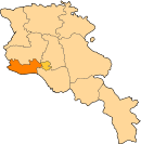
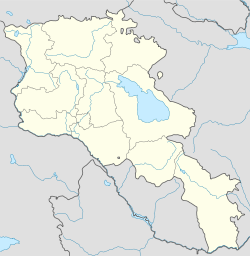
- Taronik
-
Coordinates: 40°07′59″N 44°11′57″E / 40.13306°N 44.19917°E
Taronik
ՏարոնիկCoordinates: 40°07′59″N 44°11′57″E / 40.13306°N 44.19917°E Country Armenia Marz (Province) Armavir Population (2008) – Total 2,036 Time zone (UTC+4) – Summer (DST) (UTC+5) Taronik (Armenian: Տարոնիկ; formerly Zeyva Turkakan – "Turkish Zeyva", Verin Zeyva, and Malaya Zeyva) is a town in the Armavir Province of Armenia. One km outside the town is the Iron Age settlement dubbed the Metsamor site.
References
- Taronik at GEOnet Names Server
- World Gazeteer: Armenia – World-Gazetteer.com
- Report of the results of the 2001 Armenian Census, National Statistical Service of the Republic of Armenia
- Kiesling, Brady (2005), Rediscovering Armenia: Guide, Yerevan, Armenia: Matit Graphic Design Studio
- Brady Kiesling, Rediscovering Armenia, p. 37; original archived at Archive.org, and current version online on Armeniapedia.org.
Capital: ArmavirArmavir ·
Vagharshapat (Echmiadzin) ·Categories:- Populated places in Armavir
- Armavir (province) geography stubs
Wikimedia Foundation. 2010.

