- Spring Valley, Wisconsin
:"There is also the Town of Spring Valley, a subdivision of Rock County."
Infobox Settlement
official_name = Spring Valley, Wisconsin
settlement_type = Village
nickname =
motto =
imagesize =
image_caption =
image_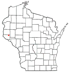
mapsize = 250px
map_caption = Location of Spring Valley, Wisconsin
mapsize1 =
map_caption1 =subdivision_type = Country
subdivision_name =United States
subdivision_type1 = State
subdivision_name1 =Wisconsin
subdivision_type2 = Counties
subdivision_name2 = Pierce, St. Croixgovernment_footnotes =
government_type =
leader_title =
leader_name =
leader_title1 =
leader_name1 =
established_title =
established_date =unit_pref = Imperial
area_footnotes =area_magnitude =
area_total_km2 = 11.6
area_land_km2 = 9.7
area_water_km2 = 1.9
area_total_sq_mi = 4.5
area_land_sq_mi = 3.7
area_water_sq_mi = 0.7population_as_of = 2000
population_footnotes =
population_total = 1189
population_density_km2 = 122.8
population_density_sq_mi = 318.0timezone = Central (CST)
utc_offset = -6
timezone_DST = CDT
utc_offset_DST = -5
elevation_footnotes = GR|3
elevation_m = 277
elevation_ft = 909
latd = 44 |latm = 50 |lats = 50 |latNS = N
longd = 92 |longm = 14 |longs = 24 |longEW = Wpostal_code_type =
postal_code =
area_code =
blank_name = FIPS code
blank_info = 55-76300GR|2
blank1_name = GNIS feature ID
blank1_info = 1574697GR|3
website =
footnotes =Spring Valley is a village in Pierce and St. Croix Counties in the
U.S. state ofWisconsin . The population was 1,189 at the 2000 census. The village is located mostly within the Town of Spring Lake in Pierce County. Small portions also lie in the Town of Gilman, also in Pierce County, and the Town of Cady in St. Croix County.Attractions
Crystal Cave is located near Spring Valley approximately one mile southwest.
Geography
Spring Valley is located at coor dms|44|50|50|N|92|14|24|W|city (44.847111, -92.240130)GR|1, along the
Eau Galle River .According to the
United States Census Bureau , the village has a total area of 4.5square mile s (11.6km² ), of which, 3.7 square miles (9.7 km²) of it is land and 0.7 square miles (1.9 km²) of it (16.33%) is water.Demographics
As of the
census GR|2 of 2000, there were 1,189 people, 459 households, and 296 families residing in the village. Thepopulation density was 318.0 people per square mile (122.7/km²). There were 482 housing units at an average density of 128.9/sq mi (49.8/km²). The racial makeup of the village was 98.82% White, 0.08% African American, 0.17% Native American, 0.08% Asian, and 0.84% from two or more races. Hispanic or Latino of any race were 0.59% of the population.There were 459 households out of which 35.5% had children under the age of 18 living with them, 51.2% were married couples living together, 9.6% had a female householder with no husband present, and 35.3% were non-families. 30.5% of all households were made up of individuals and 16.8% had someone living alone who was 65 years of age or older. The average household size was 2.46 and the average family size was 3.08.
In the village the population was spread out with 26.9% under the age of 18, 8.2% from 18 to 24, 25.7% from 25 to 44, 20.7% from 45 to 64, and 18.5% who were 65 years of age or older. The median age was 38 years. For every 100 females there were 93.6 males. For every 100 females age 18 and over, there were 84.9 males.
The median income for a household in the village was $38,482, and the median income for a family was $45,714. Males had a median income of $35,000 versus $22,292 for females. The
per capita income for the village was $17,844. About 2.4% of families and 5.9% of the population were below thepoverty line , including 3.9% of those under age 18 and 14.3% of those age 65 or over.References
External links
* [http://www.springvalleywisconsin.org Spring Valley, Wisconsin village website]
Wikimedia Foundation. 2010.