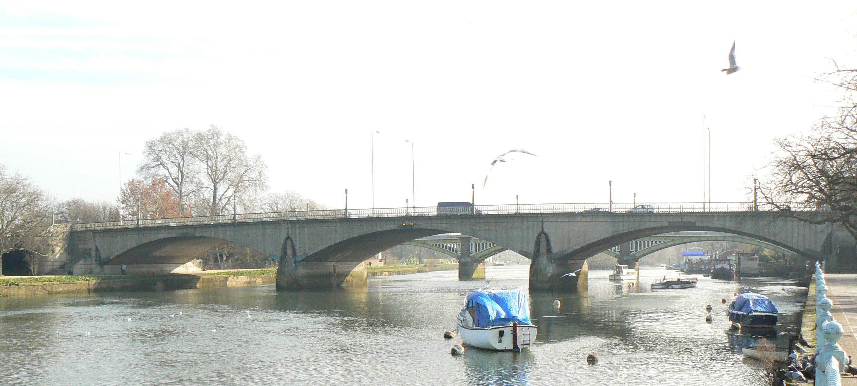
- Twickenham Bridge
Infobox_Bridge
bridge_name=Twickenham Bridge
caption=
official_name=
carries=A316 road
crosses=River Thames
locale= Richmond /St. Margarets
maint=
id=
design=
mainspan=
length=
width=
height=
clearance=
below=
traffic=
open=3 July 1933
closed=
toll=
map_cue=
map_
map_text=
map_width=
coordinates= coord|51|27|38|N|0|18|52|W|region:GB_type:landmark
lat=
long=Twickenham Bridge crosses the
River Thames in southwestLondon ,England . Built in1933 as part of the newly-constructed "Chertsey Arterial Road", the bridge connects theOld Deer Park district of Richmond on the south bank of the river to its neighbouring district ofSt. Margarets on the north bank; both areas being within theLondon Borough of Richmond upon Thames . Twickenham Bridge gets its name from the fact that it is on the road to the town ofTwickenham (also in the same London borough), which is approximately 3km upstream from Twickenham Bridge, past Richmond Bridge.The bridge forms part of today's A316 (Chertsey Road), which links Central and West London with the
M3 motorway atSunbury .External links
* [http://www.touruk.co.uk/london_bridges/twickenham_bridge1.htm Twickenham Bridge (Tour UK)]
Crossings navbox
structure = Crossings
place =River Thames
upstream=Richmond Railway Bridge |downstream=Richmond Lock and Footbridge |bridge = PAGENAME
Grid reference: gbm4ibx|TQ172748
Wikimedia Foundation. 2010.
