- Üüreg Nuur
Geobox|Lake
name = Üüreg Nuur
native_name = Үүрэг нуур
other_name =
category = salt lake
etymology =
nickname =
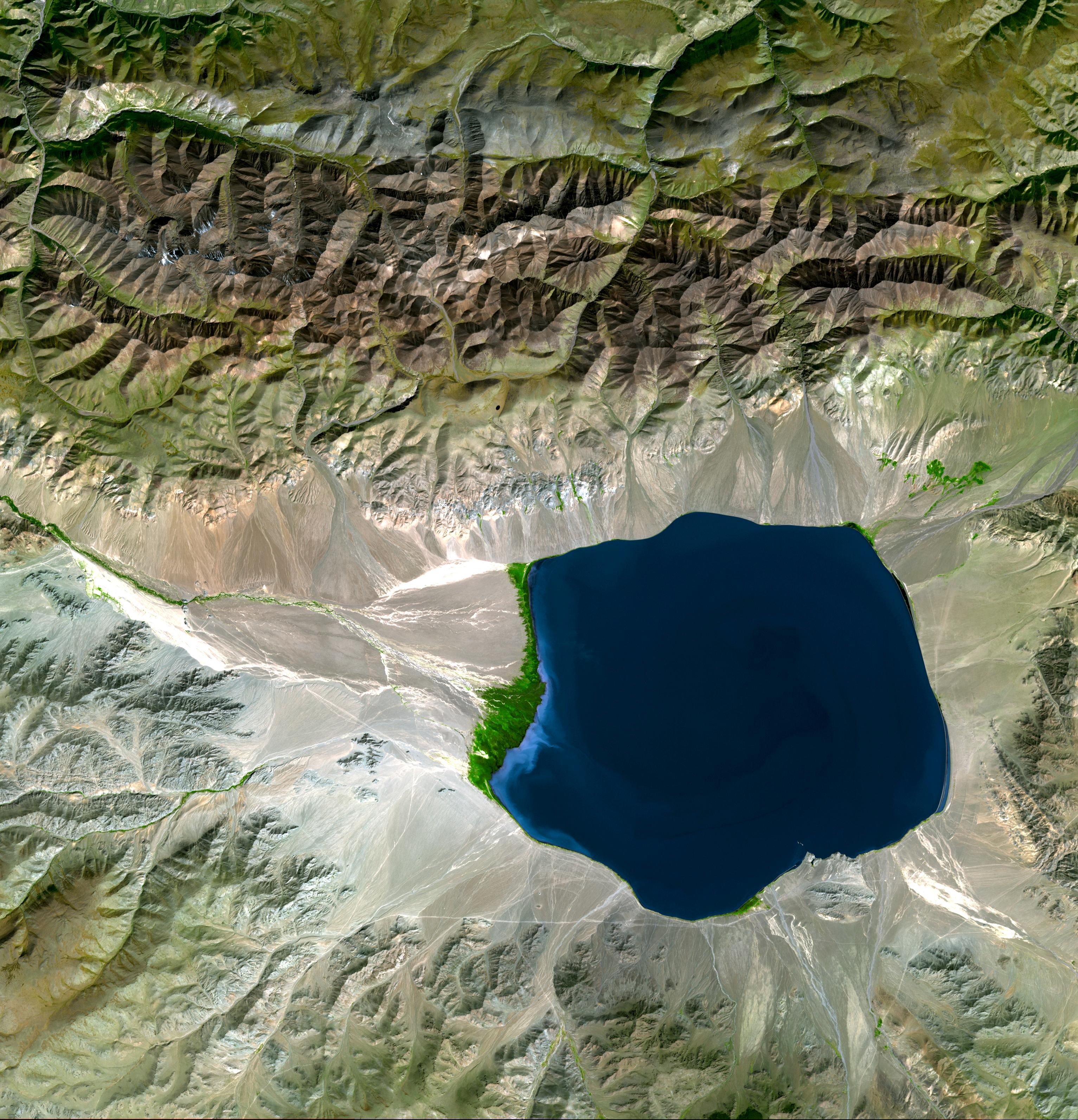
image_caption = Satellite view of Üüreg Nuur and its drainage basin
country = Mongolia
state = Uvs Province
region =
district = Sagil, Uvs
municipality =
parent =
city = Üüregnuur
city_type = Settlements
landmark =
location =
elevation = 1425
prominence =
lat_d = 50 | lat_m = 10 | lat_s = | lat_NS = N
long_d = 91 | long_m = 00 | long_s = | long_EW = E
source = Kharig Gol
source_note = Rus.: Kargy
source_location = | source_region =
source_country = Mongolia, Russia
source_elevation =
source_lat_d = | source_lat_m = | source_lat_s = | source_lat_NS =
source_long_d = | source_long_m = | source_long_s = | source_long_EW =
source1 =
source1_location = | source1_region = | source1_country =
source1_elevation =
source1_lat_d = | source1_lat_m = | source1_lat_s = | source1_lat_NS =
source1_long_d = | source1_long_m = | source1_long_s = | source1_long_EW =length = 20 | length_orientation = E-W
width = 18 | width_orientation = N-S
depth = 26.9
depth1 = 42
depth1_type = Max. depth
volume = 6419000000
weight =
area = 239
discharge = 0
discharge_note = endorheic lake
discharge_max =
discharge_min =
free = | free_type =
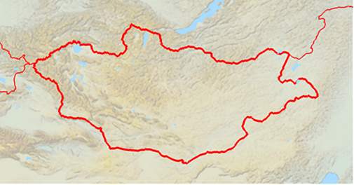
map_caption = Location in Mongolia
map_background = Mongolia location map with topography.jpg
map_locator = Mongolia
website =
footnotes =free = none
free_type = islandsÜüreg Nuur ( _mn. Үүрэг нуур) is a lake in western
Mongolia , north-west of theGreat Lakes Depression , near the western edge of theUvs Nuur basin .
Wikimedia Foundation. 2010.