- Cerro Catedral
-
- For the highest point of Uruguay, see Cerro Catedral (Uruguay).
Cerro Catedral 
Elevation 2,405 m (7,890 ft) Location Río Negro, Patagonia,
 Cerro Catedral
 Argentina
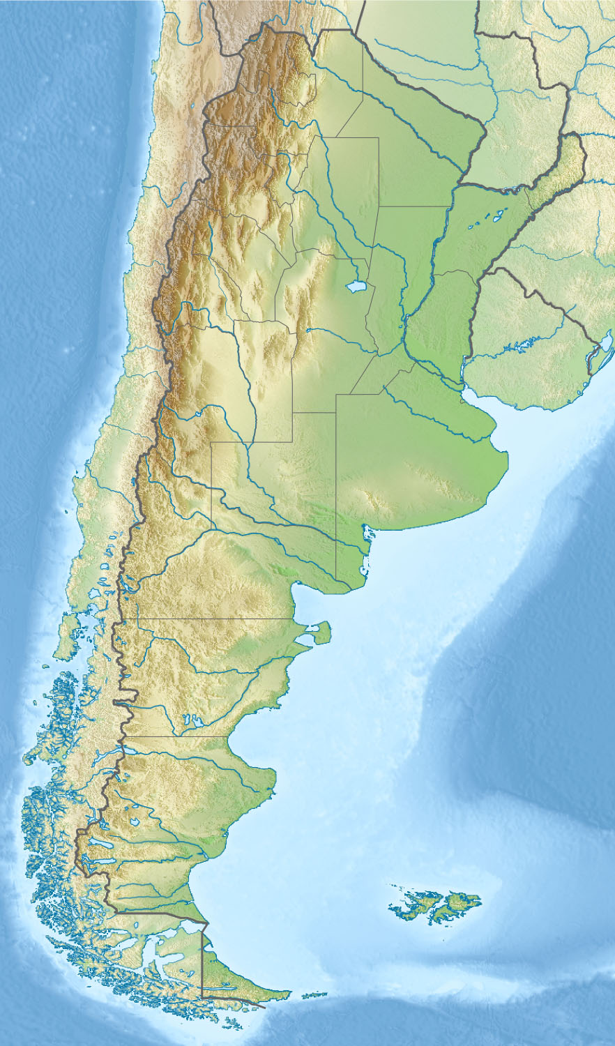
Range Andes Coordinates 41°11′S 71°27′W / 41.183°S 71.45°WCoordinates: 41°11′S 71°27′W / 41.183°S 71.45°W Climbing Easiest route South Cerro Catedral is a mountain located 19 kilometres (12 mi) from San Carlos de Bariloche, and inside the Nahuel Huapí National Park, Patagonia, Argentina.
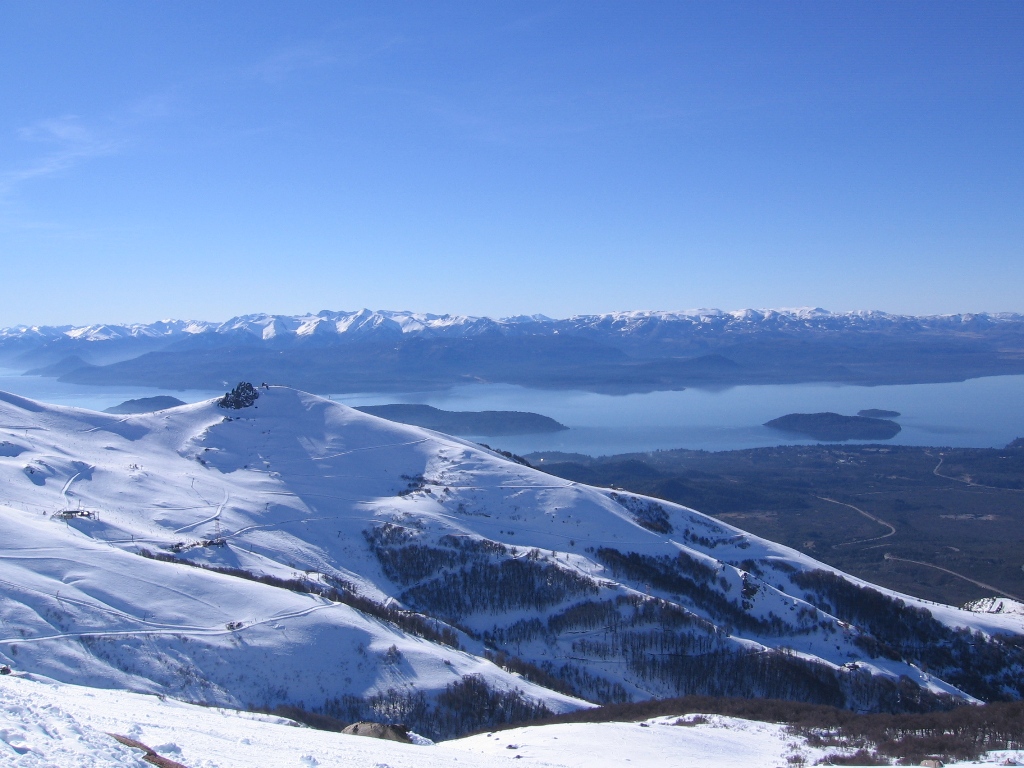
The mountain holds one of the biggest ski centers in South America, with a skiable area of 2 km2 (0.77 sq mi), over 100 km (62 mi) of ski runs, and a lift capacity of 22,200 skiers per hour [1]. It is also very popular due to the magnificent view of the Nahuel Huapi lake. There are also a number of hotels and hostels at the foot of the mountain, and a summer hikers' hut called Refugio Lynch on one of the tops of the mountain.
During the summer, the Refugio Frey and a camping accommodate trekkers and rock climbers next to Tonček lagoon, near the Torre Principal; Catedral's highest point.
Contents
Gallery
-
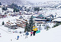
Cerro Catedral in winter
-
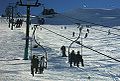
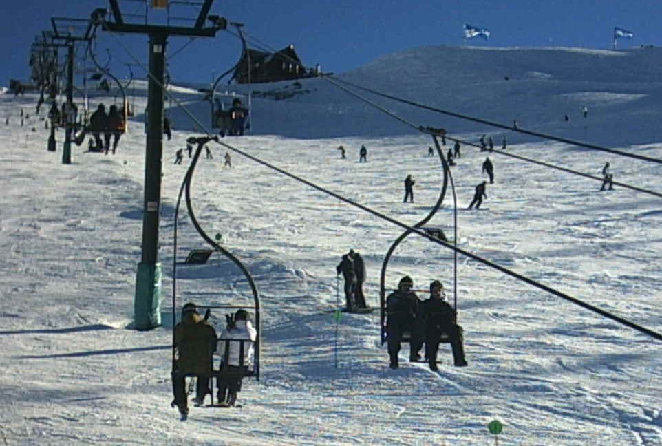
Ski lift and Refugio Lynch on the top of the Cerro Catedral
-

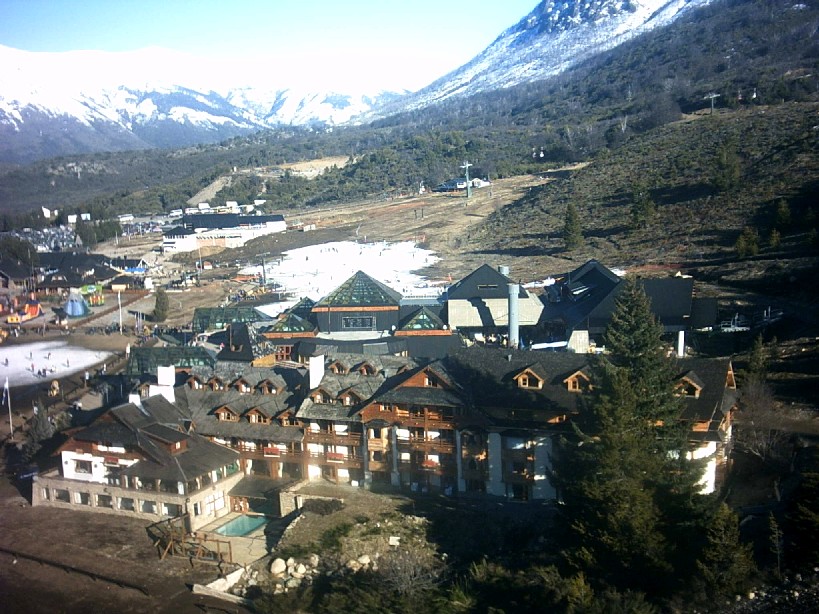
Ski resort during the summer
Panoramas

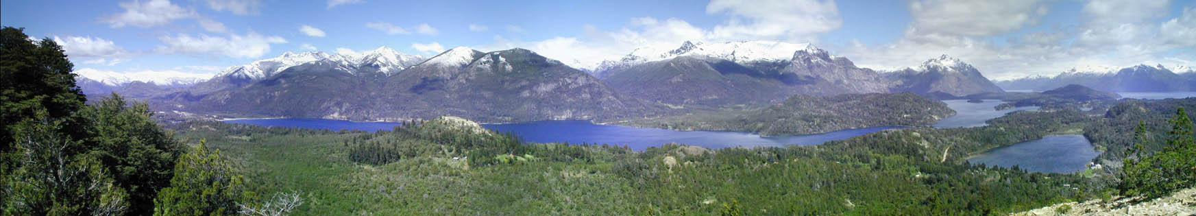
Campanario Hill, Lakes Moreno and El Trébol 
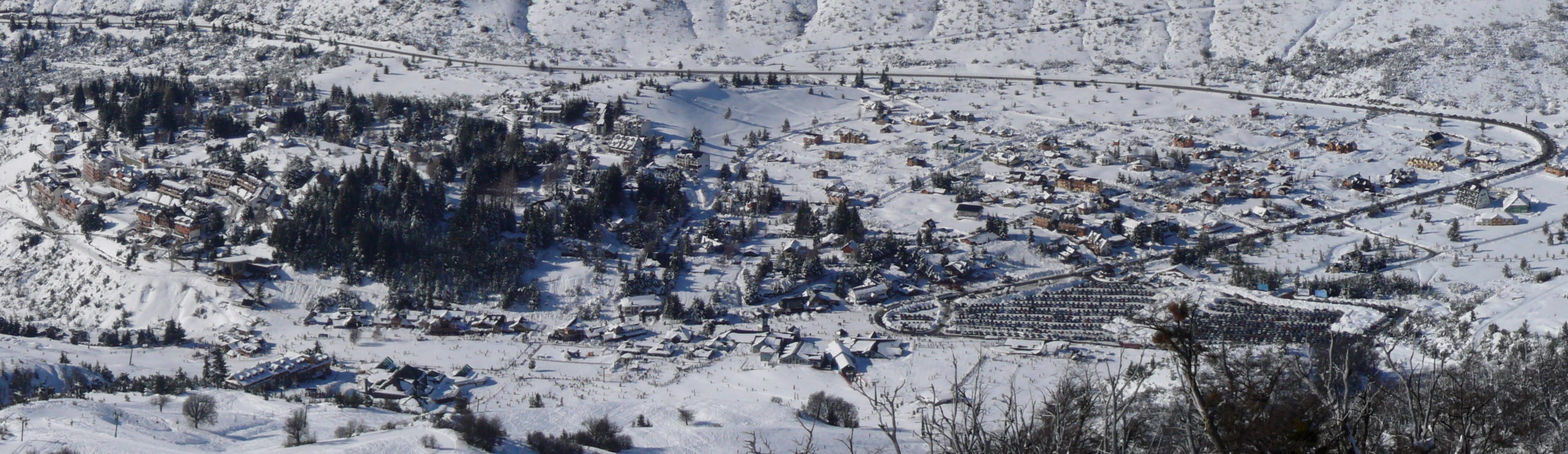
Catedral ski resort in winter 
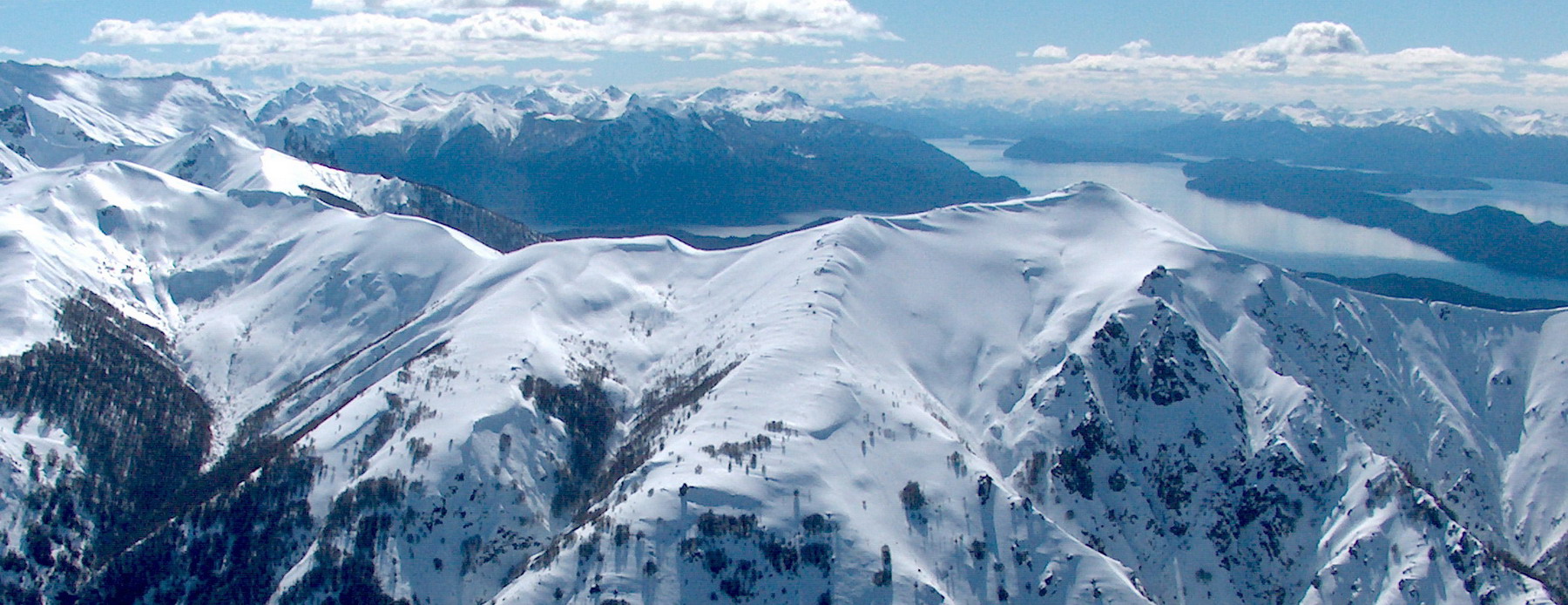
From the top, Cerro Bellavista, Nahuel Huapi lake and the Andes References
- ^ "Argentina’s Catedral ski resort becoming a winter sport giant". Ski Rebel Magazine. http://www.skirebel.com/magazine/archives/3710. Retrieved 2009-08-10.
External links
- Catedral Alta Patagonia
- Image of Catedral mountain in winter (1000x644 pixels)
- Panoramic view of higher ski areas in winter (2400x626 pixels)
- Panoramic view from cerro the Catedral sky resort to the Andes in winter (2600x846 pixels)
- Pataclimb.com, an online climbing guidebook to Cerro Catedral
Categories:- Mountains of Argentina
- Geography of Río Negro Province
- Ski areas and resorts in Argentina
- Río Negro Province geography stubs

Wikimedia Foundation. 2010.