- Tyndrum Lower railway station
Infobox UK station
name = Tyndrum Lower
other_name= Taigh an Droma Iarach
code = TYL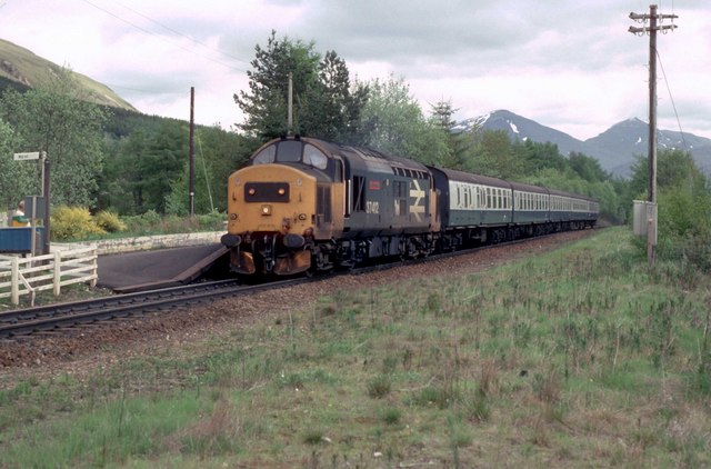
caption =
manager =First ScotRail
locale =Tyndrum
borough = Stirling
latitude = 56.43424
longitude = -4.71488
lowusage0405 = 8,057
lowusage0506 = 7,481
platforms = 1
original =Callander and Oban Railway
pregroup =Callander and Oban Railway operated byCaledonian Railway
years =1 August 1873
events = Opened as a terminus
years1 =1877
events1 = Rebuilt as a through stationTyndrum Lower railway station is one of two
railway station s serving the small village ofTyndrum inScotland . This station is on theOban branch of theWest Highland Line , originally part of theCallander and Oban Railway . Most trains currently serving Fort William and Oban split or join at Crianlarich, with the result that separate trains both heading in the same direction generally call at Tyndrum's two stations at about the same time. Services are operated byFirst ScotRail .History
This station opened on
1 August 1873 as aterminal station . This was the first railway station in the village of Tyndrum. Until 1877, it was the western extremity of theCallander and Oban Railway .In 1877, the Callander and Oban Railway was extended from Tyndrum to
Dalmally . Concurrently, the station was relocated slightly further south, onto the new through alignment. The new station was on a higher level, as the line had to climb steeply to reach the summit about 1 km to the west. The old terminus then became the goods yard. The through station was originally laid out with two platforms, one on either side of apassing loop .In 1894, the
West Highland Railway opened a second station in Tyndrum, north of the village. In 1953, the suffixes "Upper" and "Lower" were added to the station names.On
12 October 1969 , the passing loop, goods yard and one of the platforms were taken out of use. The platform on the north side was retained, it being located on the same side of the railway as the village. The site of the goods yard is now used as acaravan park .
= Signalling =The 1891-built
signal box was located off the east end of the Down platform. It had 20 levers. The signal box closed on12 October 1969 when thecrossing loop was removed.In 1988, the station became a Token Exchange Point in connection with the new
Radio Electronic Token Block signalling system.rail line
next = Dalmally
previous = Crianlarich
route =First ScotRail West Highland Line
col = FF80C0rail line two to one
next = Dalmally
"Line and station open"
previous1 = Crianlarich
"Line and station open"
route1 =Callander and Oban Railway
Crianlarich Link LineCaledonian light">Operated by
Caledonian Railway
previous2 = Crianlarich Lower
"Line and station closed"
route2 =Callander and Oban Railway Caledonian light">Operated by
Caledonian Railway
col = Caledonian colour
###@@@KEYEND@@@###References
Notes
Sources
*
*
*
Wikimedia Foundation. 2010.