- Cima Rossa
-
Cima Rossa 
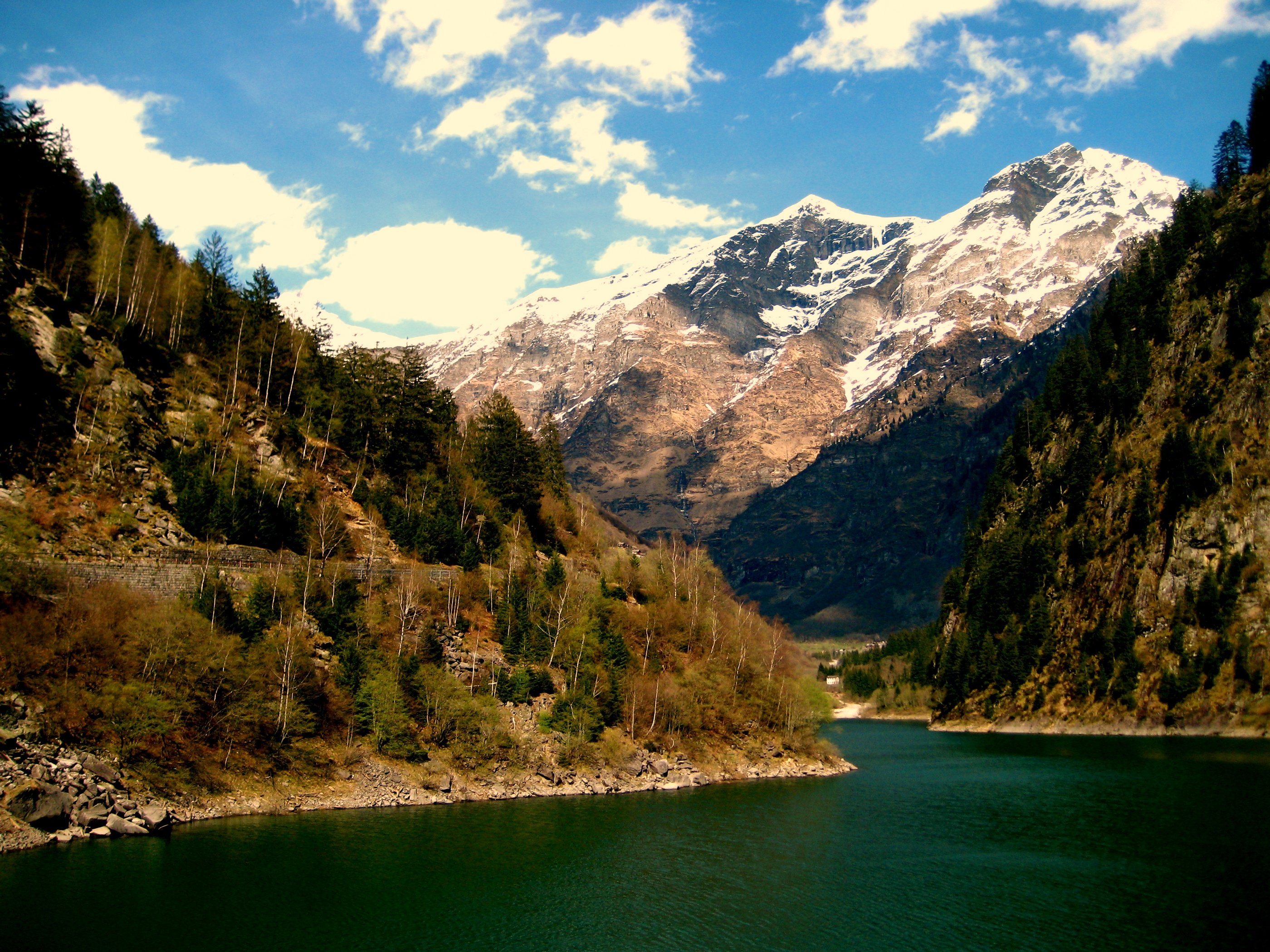
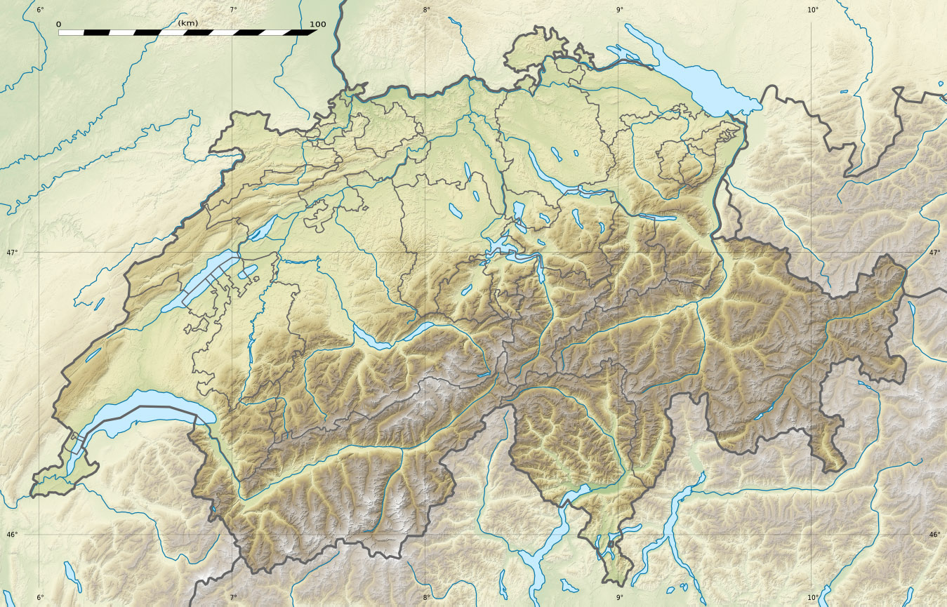
Cima Rossa (centre-right) from Lago di MalvagliaElevation 3,161 m (10,371 ft) Prominence 236 m (774 ft) [1] Parent peak Vogelberg Location Location in Switzerland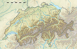
 Cima Rossa
Location  Switzerland
Range Lepontine Alps Coordinates 46°26′37.5″N 9°5′13.4″E / 46.44375°N 9.087056°ECoordinates: 46°26′37.5″N 9°5′13.4″E / 46.44375°N 9.087056°E Cima Rossa is a 3,161 metres high mountain in the Lepontine Alps, located on the border between the cantons of Ticino and Graubünden. On the west side it overlooks the valley of Malvaglia (Ticino) and on the east side it overlooks the valley of Calanca (Graubünden).
Cima Rossa is connected to the higher massif of the Vogelberg by a four km ridge, not descending lower than 2,925 metres. A secondary summit (3,121 metres) named Piz Piotta lies north of the summit of Cima Rossa. A small glacier lies between them on the west flanks, named Ghiacciaio di Piotta.
References
External links
Categories:- Mountains of the Alps
- Alpine Three-thousanders
- Mountains of Switzerland
- Switzerland stubs
Wikimedia Foundation. 2010.