- Coulman Island
-
Coulman Island 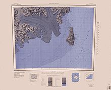
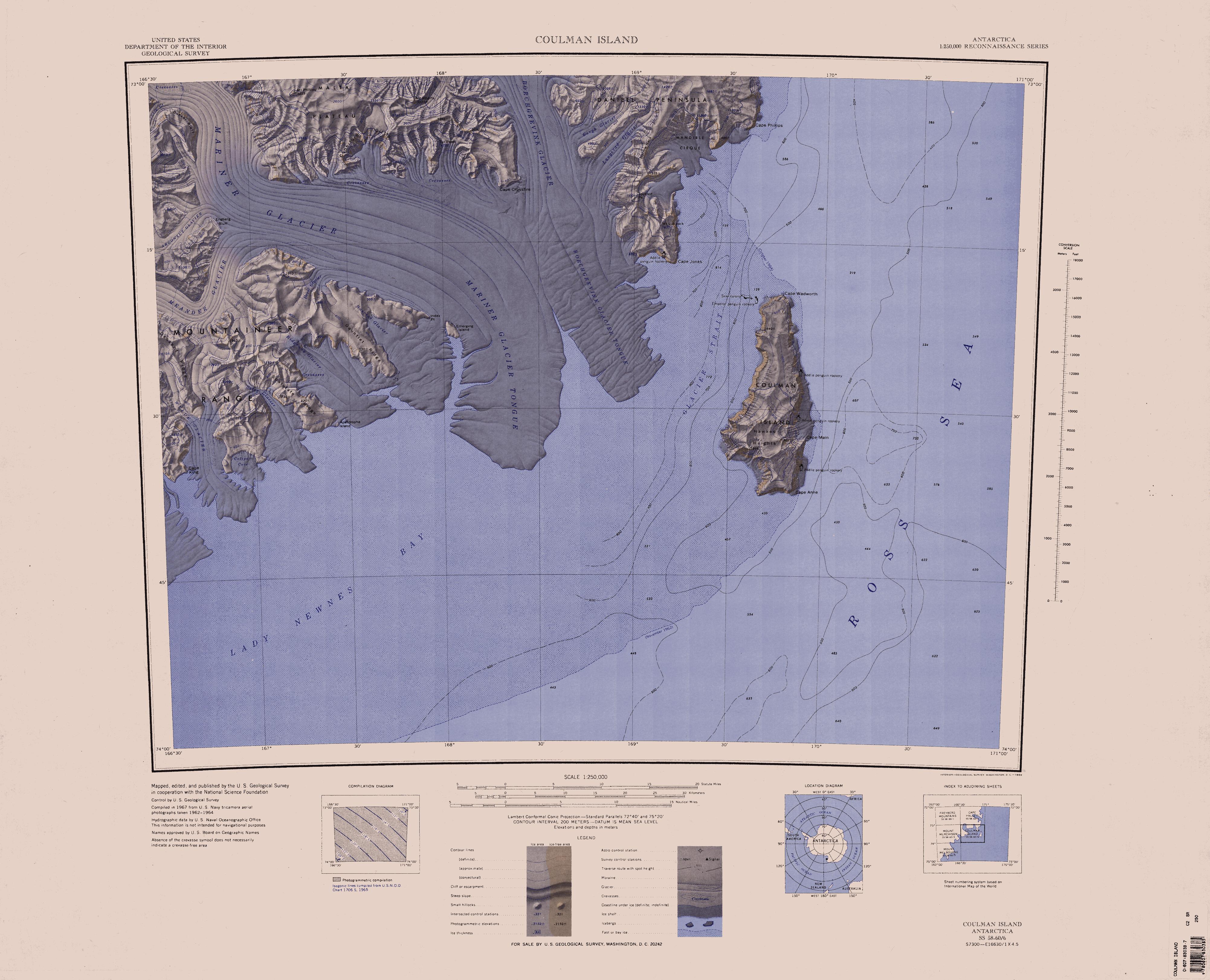
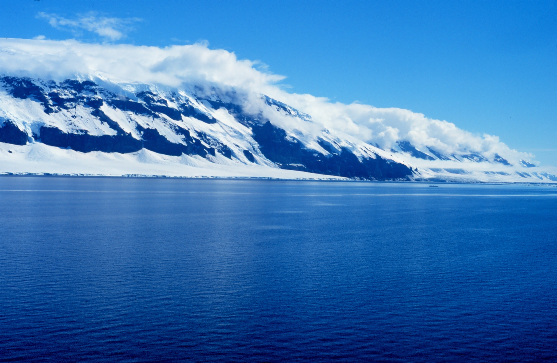
Map showing Coulman IslandGeography Location Antarctica Coordinates 73°29′S 169°45′E / 73.483°S 169.75°E Highest elevation 1,998 m (6,555 ft) Country Demographics Population 0 Additional information Administered under the Antarctic Treaty System Coulman Island is an ice-covered island, composed of several connected shield volcanos in the Ross Sea off Antarctica. The Coulman caldera, 3 miles (4.8 km) wide and 2,300 feet (701 m) deep, can be found on the south end of the island. Emperor penguins inhabit this island. Coulman Island lies within the boundaries of Ross Dependency, which is claimed by New Zealand, whose claim is unrecognised by most other states. Discovered in 1841 by Sir James Clark Ross who named it for his father-in-law, Thomas Coulman.[1]
The island has an elevation of 1,998 metres (6,555 ft).
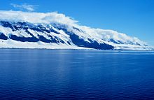 Coulman Island.
See also
- Composite Antarctic Gazetteer
- List of Antarctic islands south of 60° S
- List of volcanoes in Antarctica
- SCAR
- Territorial claims in Antarctica
References
Coordinates: 73°29′S 169°45′E / 73.483°S 169.75°E
This Borchgrevink Coast location article is a stub. You can help Wikipedia by expanding it.