Magharee Islands

Magharee Islands
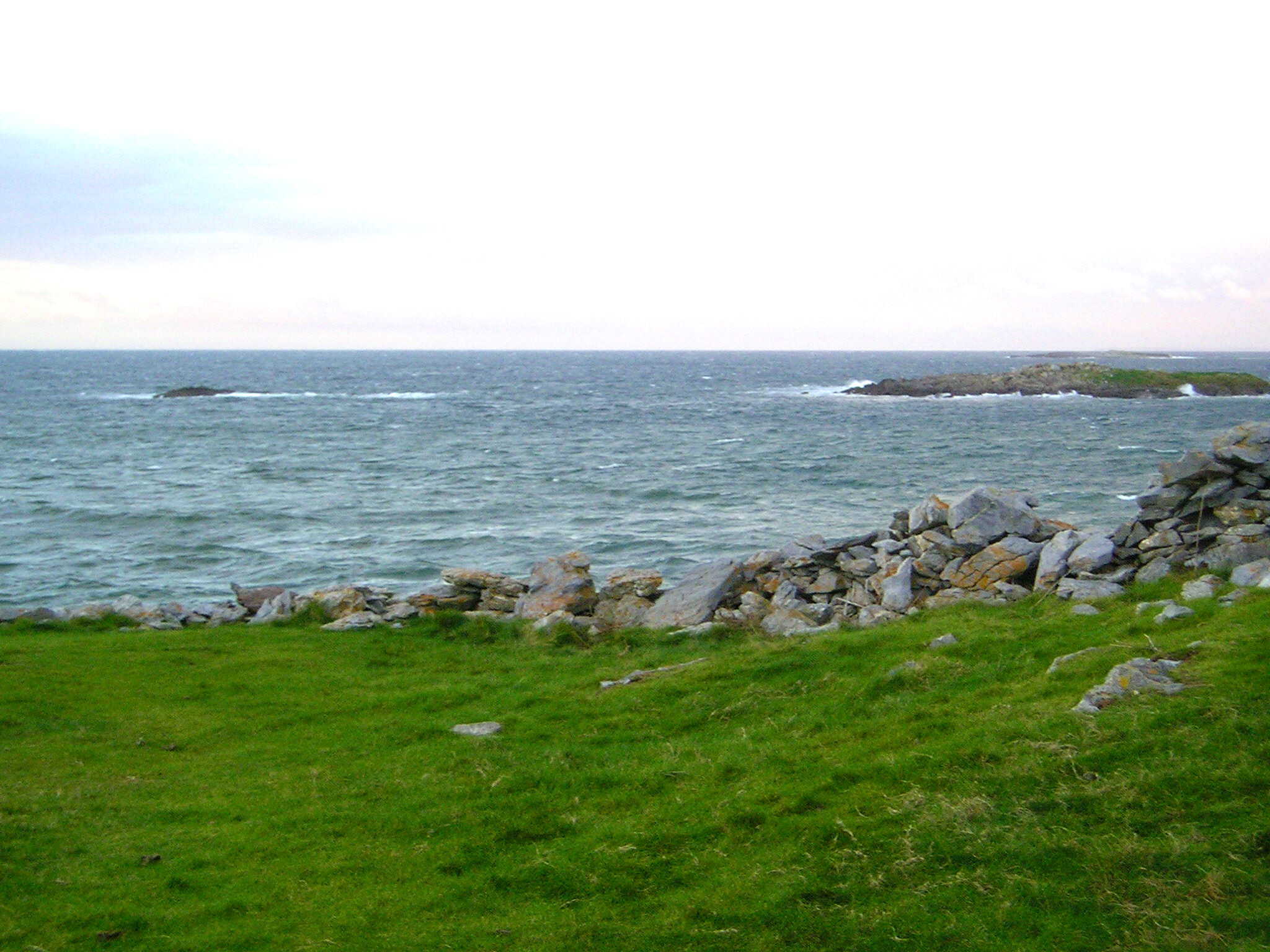
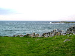
Some of the Magharee Islands in 2004.

The Magharee Islands (Irish: Na Machairí), also known as "The Seven Hogs", are a group of uninhabited islands located off Rough Point at the northern tip of the Magharee Peninsula in County Kerry, Ireland. The Islands are part of the parish of Castlegregory are well known as excellent diving and snorkelling destinations.

The Magharees Sound separates the Seven Hogs from the mainland. A monastic site comprising beehive huts and the ruins of an old church are located on Illauntannig. Scraggane Pier is the nearest landing point on the mainland.

They Islands are called:

  • Gurrig Island
  • Illaunboe
  • Illaunimmil
  • Illauntannig
  • Illaunturlogh
  • Inishtooskert
  • Mucklaghbeg Island

The islands were inhabited up until the early 1980s but now serve only as summer grazing for the livestock of several local farmers. Up until recently, many farmers would swim their cattle and sheep across to the islands at low tide, rowing alongside them inside Currachs or other small boats. If an animal got into difficulty it was hauled aboard or tied to a boat. Nowadays, a modified cage with several flotation devices attached to it, is pulled behind a boat and the crossing is much less taxing on the animals and their owners.

Coordinates: 52°19′N 10°02′W / 52.317°N 10.033°W / 52.317; -10.033


Wikimedia Foundation. 2010.

Игры ⚽ Поможем сделать НИР

Look at other dictionaries:

  • List of islands of Ireland — This is a list of the principal islands of Ireland. It includes both Northern Ireland and the Republic of Ireland. Ireland itself is an island lying west of the island of Great Britain and northwest of the mainland of Europe.Coastal islandsOff… …   Wikipedia

  • Castlegregory — Infobox Irish Place name = Castlegregory gaeilge = Caisléan Ghriaire crest motto = map pin coords = left: 50px; top: 52px north coord = 52.255549 west coord = 10.02099 irish grid = Q617134 area = elevation = province = Munster county = County… …   Wikipedia

  • Liste Des Îles D'Irlande — Voici une liste des îles appartenant à l Irlande. Sommaire 1 Mer d Irlande 2 Mer Celtique 3 Côte Sud 4 Côte Ouest …   Wikipédia en Français

  • Liste des iles d'Irlande — Liste des îles d Irlande Voici une liste des îles appartenant à l Irlande. Sommaire 1 Mer d Irlande 2 Mer Celtique 3 Côte Sud 4 Côte Ouest …   Wikipédia en Français

  • Liste des îles d'Irlande — Voici une liste des îles appartenant à l Irlande. Sommaire 1 Mer d Irlande 2 Mer Celtique 3 Côte Sud 4 Côte Ouest …   Wikipédia en Français

  • Liste des îles d'irlande — Voici une liste des îles appartenant à l Irlande. Sommaire 1 Mer d Irlande 2 Mer Celtique 3 Côte Sud 4 Côte Ouest …   Wikipédia en Français

  • Tralee Bay — is located in on the west coast of County Kerry, Ireland. It is situated between Kerry Head on the north side and the Maharees on the west and extends eastwards as far as the bridge at Blennerville. Several small rivers feed into the bay through… …   Wikipedia

  • Maharees — Na Machairi   Town   …   Wikipedia

  • Dingle-Halbinsel — Lage der Dingle Halbinsel Gewässer Atlantischer Ozean Geographische Lage …   Deutsch Wikipedia

Share the article and excerpts

Direct link
Do a right-click on the link above
and select “Copy Link”