- Cricklade Town Bridge
-
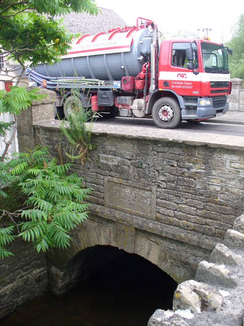
Cricklade Town Bridge 
Carries A419 road Crosses River Thames Locale Cricklade Material Stone Number of spans 1 Opened 1852 Coordinates 51°38′40″N 1°51′17″W / 51.644439°N 1.854711°WCoordinates: 51°38′40″N 1°51′17″W / 51.644439°N 1.854711°W Cricklade Town Bridge is a road bridge at Cricklade, Wiltshire across the River Thames. Formerly it marked the ultimate limit of navigation on the River Thames,[1] but the stretch of the river beyond Lechlade has fallen into disuse and the bridge can only be reached by very small craft.
The bridge is single arch level crossing at the north end of the town. It was built in 1852, there being no previous bridge on the site. The original Cricklade crossing was probably closer to the A419 Bridge where it carried Ermin Street. This road was at some time obliterated at the bend north of the bridge, and a road was deflected from it due south through the town.[2]. The River Churn joins the Thames just downstream of the bridge.
See also
- Crossings of the River Thames
References
Next crossing upstream River Thames Next crossing downstream Waterhay Bridge (road) Cricklade Town Bridge A419 Road Bridge (road) Categories:- Wiltshire geography stubs
- Bridges across the River Thames
- Bridges in Wiltshire
- Thames Path
- Bridges completed in 1852
Wikimedia Foundation. 2010.