- Makhori
-
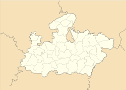
Makhori — village — Coordinates 26°14′22″N 78°34′2″E / 26.23944°N 78.56722°ECoordinates: 26°14′22″N 78°34′2″E / 26.23944°N 78.56722°E Country India State Madhya Pradesh Time zone IST (UTC+05:30) Makhori (मखोरी) is a village in Bhind district in Madhya Pradesh. Makhori is located at a distance of 2 km from Guhisar in east direction on Gwalior-Baragaon-Bilara Road. [1]
History
There is a small fort in Makhori known as ‘Ranaon ki Garhi’. The fort was constructed by Gohad ruler Maharaja Chhatar Singh. The fort is situated on a hillock and surrounded by deep ditch to protect it. One can enter it through a small entrance gate. The fort is made of stones rich in iron content which protects it from canon attacks. There is a secret tunnel believed to connect this fort with other forts. The defence strategy of the fort is exemplary. At one time this fort was owned by Jagjit Singh Rana. At present there is no Jat family in Makhori. The chieftain of this fort moved to Dhaulpur along with the Gohad ruler.[2]
References
Categories:- Villages in Bhind district
Wikimedia Foundation. 2010.


