Missouri Route 571

Missouri Route 571

Route 571 marker

Route 571
Route information
Maintained by MoDOT
Length: 5 mi (8 km)
Major junctions
North end: No image wide.svgBusiness plate.svg
US 71.svgUS 71.svgMO-96.svgMO-171.svg US 71/Business US 71/Route 96/171 in Carthage
South end: US 71.svg US 71 in Carthage
Highway system

Missouri Highways
Supplemental

I-470 I-635

Route 571 is a two-lane highway in Carthage, Missouri replacing a former section of U.S. Route 71 Alternate with the realignment of U.S. Route 71. Its northern terminus is Business US 71& Route 171 at the western edge of Carthage, its southern terminus is US 71 at the southern edge of Carthage.

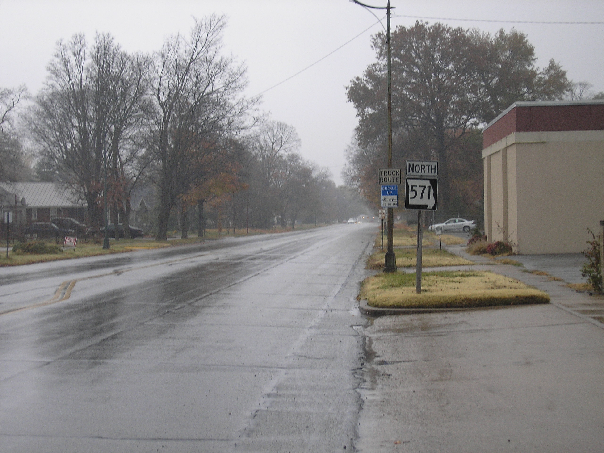
Route 571 in Carthage.

Wikimedia Foundation. 2010.

Игры ⚽ Поможем сделать НИР

Look at other dictionaries:

  • Missouri Route 171 — Route 171 Route information Maintained by MoDOT Length: 26 mi (42 km) …   Wikipedia

  • Missouri Route 96 — Route 96 Route information Maintained by MoDOT Length: 52 mi (84 km) …   Wikipedia

  • Missouri Route 5 — MO 5 redirects here. MO 5 may also refer to Missouri s 5th congressional district. Route 5 Route information Maintained by MoDOT Length …   Wikipedia

  • Bannered routes of U.S. Route 71 — U.S. Route 71 Highway system United States Numbered Highways List • Bannered • Divided • Replaced A total of fourtee …   Wikipedia

  • Liste der State-, U.S.- und Interstate-Highways in Missouri — Dies ist eine Aufstellung von State Routes, U.S. Highways und Interstates im US Bundesstaat Missouri, nach Nummern. Inhaltsverzeichnis 1 State Routes 2 U.S. Highways in Missouri 2.1 Ost West Verbindungen …   Deutsch Wikipedia

  • U.S. Route 36 — Route information Length …   Wikipedia

  • Montgomery County, Missouri — Location in the state of Missouri …   Wikipedia

  • Jasper County, Missouri — Infobox U.S. County county = Jasper County state = Missouri map size = 225 founded = 1841 seat = Carthage | area total sq mi =641 area land sq mi =640 area water sq mi =2 area percentage = 0.25% census yr = 2000 pop = 104686 density km2 =63 web …   Wikipedia

  • Interstate 470 (Missouri) — Infobox road route=470 state=MO type=I alternate name= length mi=16.72 length round=2 length ref= length notes= year established=1981 (completed 1987)fact|date=April 2007 city= direction a=West terminus a=Jct|state=MO|I|435|US|50|US|71 in Kansas… …   Wikipedia

  • Manchester, Missouri —   City   Locati …   Wikipedia

Share the article and excerpts

Direct link
Do a right-click on the link above
and select “Copy Link”