- Harrietstown, New York
Infobox Settlement
official_name = Harrietstown, New York
settlement_type =Town
nickname =
motto =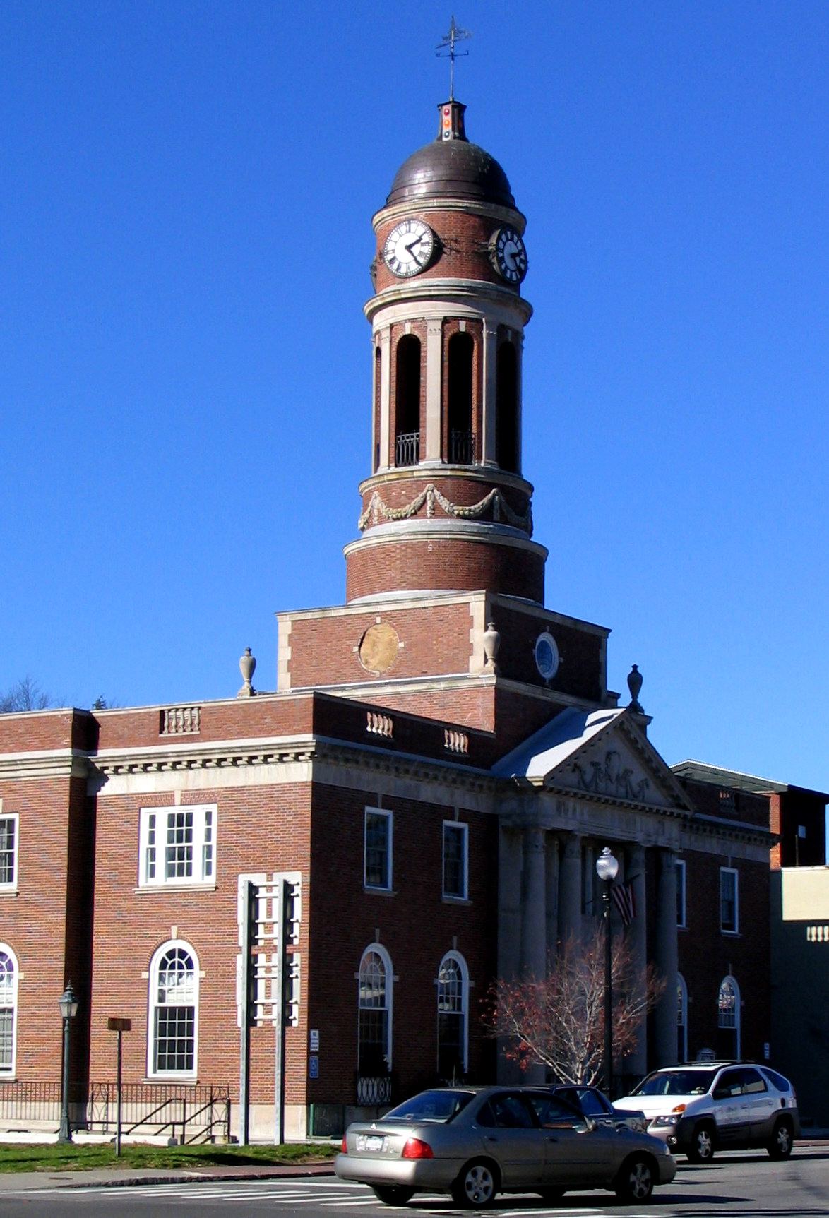
imagesize =
image_caption = Harrietstown Hall inSaranac Lake
image_|pushpin_
pushpin_label_position =
pushpin_map_caption =Location within the state of New York
pushpin_mapsize =
mapsize =
map_caption =
mapsize1 =
map_caption1 =subdivision_type = Country
subdivision_name =United States
subdivision_type1 = State
subdivision_name1 =New York
subdivision_type2 = County
subdivision_name2 = Franklin
government_footnotes =
government_type =
leader_title =
leader_name =
leader_title1 =
leader_name1 =
established_title =
established_date =unit_pref = Imperial
area_footnotes =
area_magnitude =
area_total_km2 = 553.3
area_land_km2 = 509.7
area_water_km2 = 43.6
area_total_sq_mi = 213.6
area_land_sq_mi = 196.8
area_water_sq_mi = 16.8population_as_of = 2000
population_footnotes =
population_total = 5575
population_density_km2 = 10.9
population_density_sq_mi = 28.3timezone = Eastern (EST)
utc_offset = -5
timezone_DST = EDT
utc_offset_DST = -4
elevation_footnotes =
elevation_m = 478
elevation_ft = 1568
latd = 44 |latm = 18 |lats = 13 |latNS = N
longd = 74 |longm = 11 |longs = 24 |longEW = Wpostal_code_type =
ZIP code
postal_code = 12983
area_code = 518
blank_name = FIPS code
blank_info = 36-32314
blank1_name = GNIS feature ID
blank1_info = 0979050
website =
footnotes =Harrietstown is a
town in Franklin County,New York ,United States . The population was 5,575 at the 2000 census, much of it concentrated in the village of Saranac Lake.The Town of Harrietstown is in the southeast corner of the county and is south of the Town of Brighton.
History
The area around Saranac Lake was first settled around 1819. Harrietstown was formed from the Town of Duane in 1841. At the end of the
19th Century it became the location for sanatoria for the treatment of lung diseases, taking advantage of the clear mountain air.By 1900, the area became a tourist area, assisted by the winter carnivals begun in 1898.
Geography
According to the
United States Census Bureau , the town has a total area of 213.6square mile s (553.4km² ), of which, 196.8 square miles (509.7 km²) of it is land and 16.8 square miles (43.6 km²) of it (7.88%) is water.Harrietstown is inside the
Adirondack Park .The south town line is the border of Hamilton County and Essex County. The east town line is also on the border of Essex County.
New York State Route 3 runs east-west through the town, whileNew York State Route 30 andNew York State Route 86 traverse the town running north-south. NY-3 and NY-30 joined at the west town line.New York State Route 186 connects NY-3 to NY-86.The
Raquette River is in the southwest part of Harrietstown.Demographics
As of the
census GR|2 of 2000, there were 5,575 people, 2,544 households, and 1,340 families residing in the town. Thepopulation density was 28.3 people per square mile (10.9/km²). There were 3,417 housing units at an average density of 17.4/sq mi (6.7/km²). The racial makeup of the town was 97.22% White, 0.52% African American, 0.34% Native American, 0.65% Asian, 0.22% from other races, and 1.06% from two or more races. Hispanic or Latino of any race were 1.06% of the population.There were 2,544 households out of which 27.2% had children under the age of 18 living with them, 38.8% were married couples living together, 9.4% had a female householder with no husband present, and 47.3% were non-families. 39.1% of all households were made up of individuals and 14.3% had someone living alone who was 65 years of age or older. The average household size was 2.16 and the average family size was 2.91.
In the town the population was spread out with 22.8% under the age of 18, 9.8% from 18 to 24, 28.1% from 25 to 44, 24.1% from 45 to 64, and 15.1% who were 65 years of age or older. The median age was 39 years. For every 100 females there were 94.2 males. For every 100 females age 18 and over, there were 91.8 males.
The median income for a household in the town was $31,838, and the median income for a family was $45,505. Males had a median income of $32,833 versus $25,407 for females. The
per capita income for the town was $18,529. About 7.4% of families and 12.6% of the population were below thepoverty line , including 9.3% of those under age 18 and 20.1% of those age 65 or over.Communities and locations in Harrietstown
*
Adirondack Regional Airport (SLK) – Anairport in the northeast part of the town that services Saranac Lake the region.
*Axton Landing – A hamlet in the south part of the town by theRaquette River and south of NY-30.
*Coreys – A location in the south part of the town, north of Axton Landing.
*Eagle Island – A prominent island inLower Saranac Lake .
*Fish Creek Ponds – A location on the west side ofUpper Saranac Lake .
*Follensby Pond – A lake by the west town line.
*Harrietstown, New York – A hamlet near the eastern town line on NY-86 and east of the airport.
*Lake Clear – A lake near the west town line.
*Lake Clear – A hamlet near the west town line on NY-30, south of the same-named lake.
*Lake Clear Junction – A hamlet east of Lake Clear on NY-30.
*Lake Colby – A hamlet north of Saranac Lake village on NY-86.
*McMasters Crossing – A hamlet south of Lake Clear on County Road 50.
*Lower Saranac Lake – Alake southwest of Saranac Lake village.
*Middle Saranac Lake – A lake in the south part of the town, mostly within the town.
*Oseetah Lake – A lake on the east town line, south of Saranac Lake village.
*Saranac Lake – Part of the Village of Saranac Lake is at the eastern town line at the junction of NY-30 and NY-86.
*Upper St. Regis, New York – A location on NY-30 by the north town line.
*Upper Saranac Lake – The south end of the lake is in the western part of the town.
*Wawbeek – A hamlet on NY-30 by the junction of County Road 45 at the west side of Upper Saranac Lake.References
External links
* [http://www.saranaclake.com Village of Saranac Lake and Town of Harrietstown]

Wikimedia Foundation. 2010.