- New York State Route 192
-
NYS Route 192
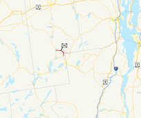
Map of northeastern New York with NY 192 highlighted in red. Its pre-1980 alignment to Bloomingdale is highlighted in pinkRoute information Maintained by NYSDOT Length: 7.35 mi[3] (11.83 km) Existed: 1930[1] – March 28, 1989[2] Major junctions West end:  NY 30 in Brighton
East end:  NY 86 in Harrietstown
Location Counties: Franklin Highway system Numbered highways in New York
Interstate • U.S. • N.Y. (former) • Reference • County←  NY 191
NY 192A  →
→New York State Route 192 (NY 192) was a 7.35-mile (11.83 km) long east–west state highway in Franklin County, New York, United States. The western terminus of the route was at an intersection with NY 30 in the hamlet of Paul Smiths within the town of Brighton. Its eastern terminus was at a junction with NY 86 near the Adirondack Regional Airport in the town of Harrietstown. In between, NY 192 served the hamlet of Gabriels.
NY 192 was assigned as part of the 1930 renumbering of state highways in New York to an alignment extending from Paul Smiths to Bloomingdale. A suffixed route of NY 192, NY 192A, was assigned in the 1950s to provide a signed connection between NY 192 near Gabriels and then-NY 86 in Harrietstown. NY 192A became part of NY 192 in 1980, and NY 192 became part of NY 86 on March 28, 1989.
Contents
Route description
NY 192 began at an intersection with NY 30 in the hamlet of Paul Smiths within the town of Brighton in Franklin County. The highway headed to the northeast, passing Cooler Pond to the south and Church Pond to the north. Just north of Church Pond was Osgood Pond, which was accessible at the first intersection, which was White Pond Road. NY 192 then headed eastward, intersecting with County Route 31 (CR 31, named Jones Pond Road) in the hamlet of Paul Smiths Easy Street. The highway turned to the southeast, intersecting with another county route and passing Brighton Town Park. At the intersection with CR 60 near the park, NY 192 entered Gabriels.[4][5]
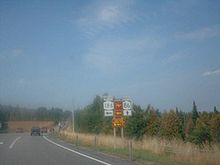
 NY 86's current western terminus in Paul Smiths. This junction was NY 192's western terminus.
NY 192 then continued to the southeast, intersecting with CR 55, its former routing eastward to NY 3 in Bloomingdale. At CR 55, NY 192 curved southward and passed into the town of Harrietstown. The route ended shortly afterward at a junction with NY 86 in the hamlet of Harrietstown 2 miles (3.2 km) east of the Adirondack Regional Airport.[4][5][6]
History
When NY 3 was assigned in 1924, it followed a significantly different routing through the North Country than it does today. NY 3 entered Franklin County near Hogansburg and served Malone, Paul Smiths, Gabriels, and Harrietstown before leaving the county near Saranac Lake.[7] In the 1930 renumbering of state highways in New York, NY 3 was rerouted east of Watertown to follow its modern alignment through the North Country.[1] The portion of NY 3's former routing from Harrietstown to a junction southeast of Gabriels was designated as NY 408[8] while the segment between Paul Smiths and the vicinity of Gabriels became part of NY 192, an east–west highway extending from Paul Smiths to the realigned NY 3 in Bloomingdale.[1]
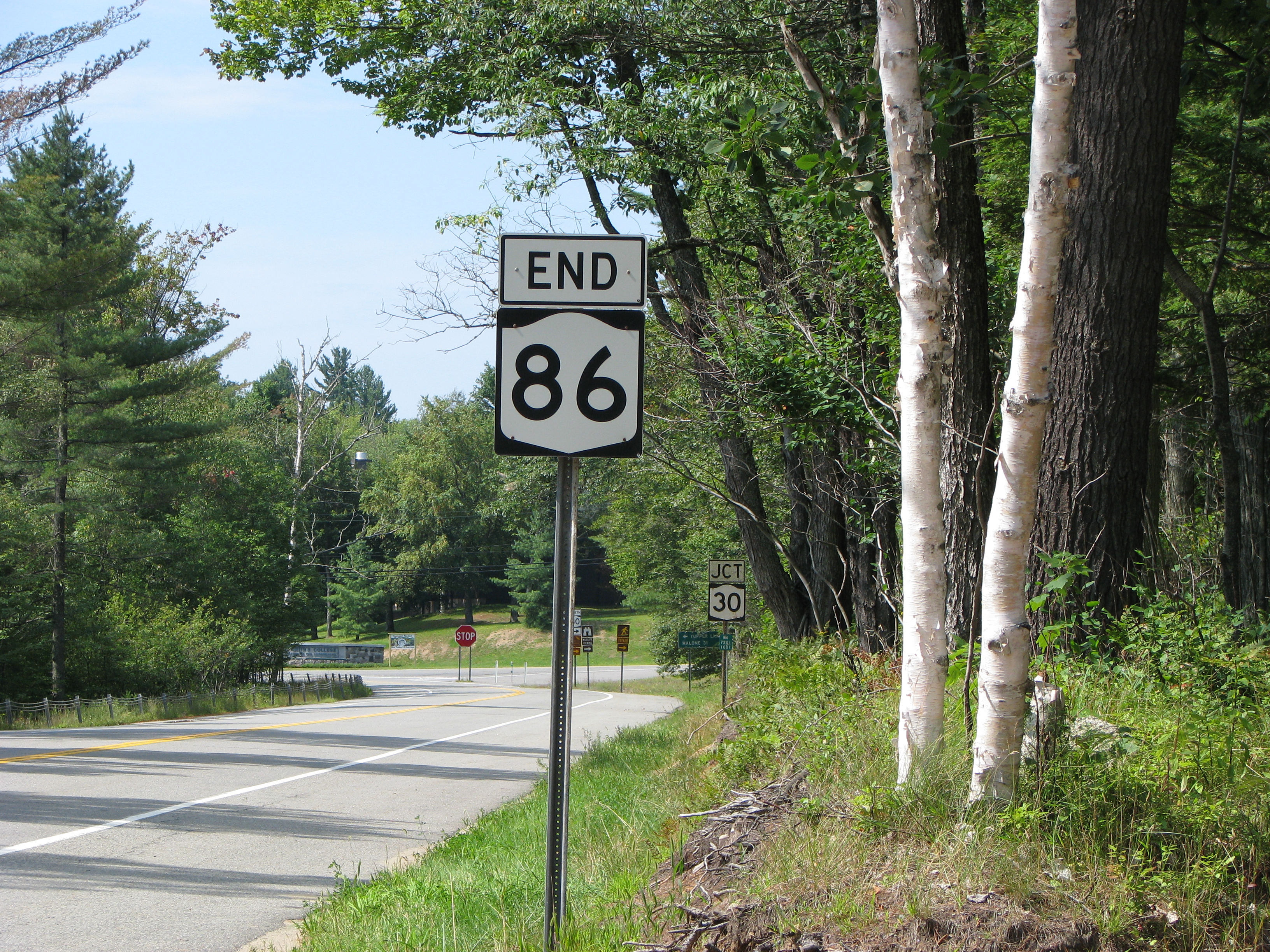
 The junction of modern NY 86 and NY 186 in Harrietstown, NY 192's final eastern terminus
Ca. 1932, the eastern half of NY 192 and NY 408 were included in the new NY 365, a route extending from NY 5 southwest of Oneida to U.S. Route 9 (US 9) in Plattsburgh. NY 365 initially overlapped both NY 192 and NY 408;[9][10] however, NY 408 was removed ca. 1938, leaving only NY 365 on the Harrietstown–Gabriels roadway. NY 192, meanwhile, continued to overlap NY 365 from Gabriels to Bloomingdale.[11][12] In the mid-1940s, NY 365 was rerouted between Wawbeek and Bloomingdale to overlap NY 3 instead. The portion of NY 365's former routing from Harrietstown to Gabriels was not initially assigned a new designation.[13][14]
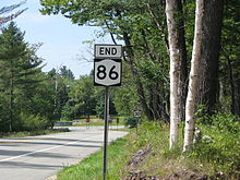
The Harrietstown–Gabriels highway became a signed route once again in the early 1950s when it became NY 192A.[15][16] Both NY 192 and NY 192A remained unchanged through the late 1970s.[17] On January 7, 1980, NY 192A was supplanted by a realigned NY 192.[2][18] Maintenance of NY 192's former routing between Gabriels and Bloomingdale was transferred to the counties it ran through—namely Franklin and Essex—in stages. The Franklin County portion was given to the county on April 1, 1980, while the section in Essex County was transferred to county control on April 1, 1985, as part of highway maintenance swaps between the state of New York and Franklin and Essex Counties.[19] On March 28, 1989, NY 192 was supplanted by a realigned NY 86.[2][6][20]
Major intersections
The entire route was in Franklin County.
Location Mile[3] Destinations Notes Brighton 0.00 NY 30Hamlet of Paul Smiths 4.92  CR 55
CR 55Former routing of NY 192 Harrietstown 7.35 NY 861.000 mi = 1.609 km; 1.000 km = 0.621 mi References
- ^ a b c Dickinson, Leon A. (January 12, 1930). "New Signs for State Highways". The New York Times: p. 136.
- ^ a b c New York State Department of Transportation (January 2009) (PDF). Official Description of Highway Touring Routes, Bicycling Touring Routes, Scenic Byways, & Commemorative/Memorial Designations in New York State. https://www.nysdot.gov/divisions/operating/oom/transportation-systems/repository/2009%20tour-bk.pdf. Retrieved June 17, 2009.
- ^ a b "2008 Traffic Data Report for New York State" (PDF). New York State Department of Transportation. June 16, 2009. p. 221. https://www.nysdot.gov/divisions/engineering/technical-services/hds-respository/NYSDOT_Traffic_Data_Report_2008.pdf. Retrieved December 8, 2009. The final alignment of NY 192 is identical to current NY 86 from NY 30 to NY 186.
- ^ a b Yahoo! Inc. Yahoo! Maps – overview map of former NY 192 (Map). Cartography by NAVTEQ. http://maps.yahoo.com/#mvt=m&lat=44.41159&lon=-74.183082&zoom=14&q1=44.437878%2C-74.251633&q2=44.386661%2C-74.160337. Retrieved June 17, 2009.
- ^ a b New York State Department of Transportation (1969). Gabriels Digital Raster Quadrangle (Map). 1:24,000. http://www.nysgis.state.ny.us/gisdata/quads/drg24/dotpreview/index.cfm?code=e45. Retrieved June 17, 2009.
- ^ a b Rand McNally and Company (1989). Rand McNally Road Atlas (eastern New York) (Map). http://www.broermapsonline.org/members/NorthAmerica/UnitedStates/Midatlantic/NewYork/randmcnally_ra_1989_033.html. Retrieved June 17, 2009.
- ^ "New York's Main Highways Designated by Numbers". The New York Times: p. XX9. December 21, 1924.
- ^ Standard Oil Company of New York (1930). Road Map of New York (Map). Cartography by General Drafting.
- ^ Kendall Refining Company (1931). New York (Map). Cartography by H.M. Gousha Company.
- ^ Texas Oil Company (1932). Texaco Road Map – New York (Map). Cartography by Rand McNally and Company.
- ^ Standard Oil Company (1937). New York (Map). Cartography by General Drafting.
- ^ Esso (1938). New York Road Map for 1938 (Map). Cartography by General Drafting.
- ^ Esso (1942). New York with Pictorial Guide (Map). Cartography by General Drafting.
- ^ State of New York Department of Public Works. Official Highway Map of New York State (Map). Cartography by General Drafting (1947–48 ed.).
- ^ Sunoco (1952). New York (Map). Cartography by Rand McNally and Company.
- ^ Esso (1954). New York with Special Maps of Putnam–Rockland–Westchester Counties and Finger Lakes Region (Map). Cartography by General Drafting (1955–56 ed.).
- ^ Exxon (1977). New York (Map). Cartography by General Drafting (1977–78 ed.).
- ^ State of New York (1981). I Love New York Tourism Map (Map). Cartography by Rand McNally and Company.
- ^ New York State Legislature. "Highway Law, Article 12, Section 341". http://public.leginfo.state.ny.us/menugetf.cgi?COMMONQUERY=LAWS. Retrieved June 17, 2009.
- ^ American Map Corporation (1992). Eastern United States Interstate Road Map (Map). 1" = 33.6 miles. Section H2. ISBN 0-8416-5082-9.
External links
 Highways in Essex County, New York
Interstate 87 • New York State Route 185 • New York State Route 192 • New York State Route 373 • New York State Route 431 • New York State Route 910K • New York State Route 910M • New York State Route 912T • New York State Route 913Q • New York State Route 915F • New York State Route 915K
Categories:- Former state highways in New York
- Transportation in Essex County, New York
- Transportation in Franklin County, New York


Wikimedia Foundation. 2010.