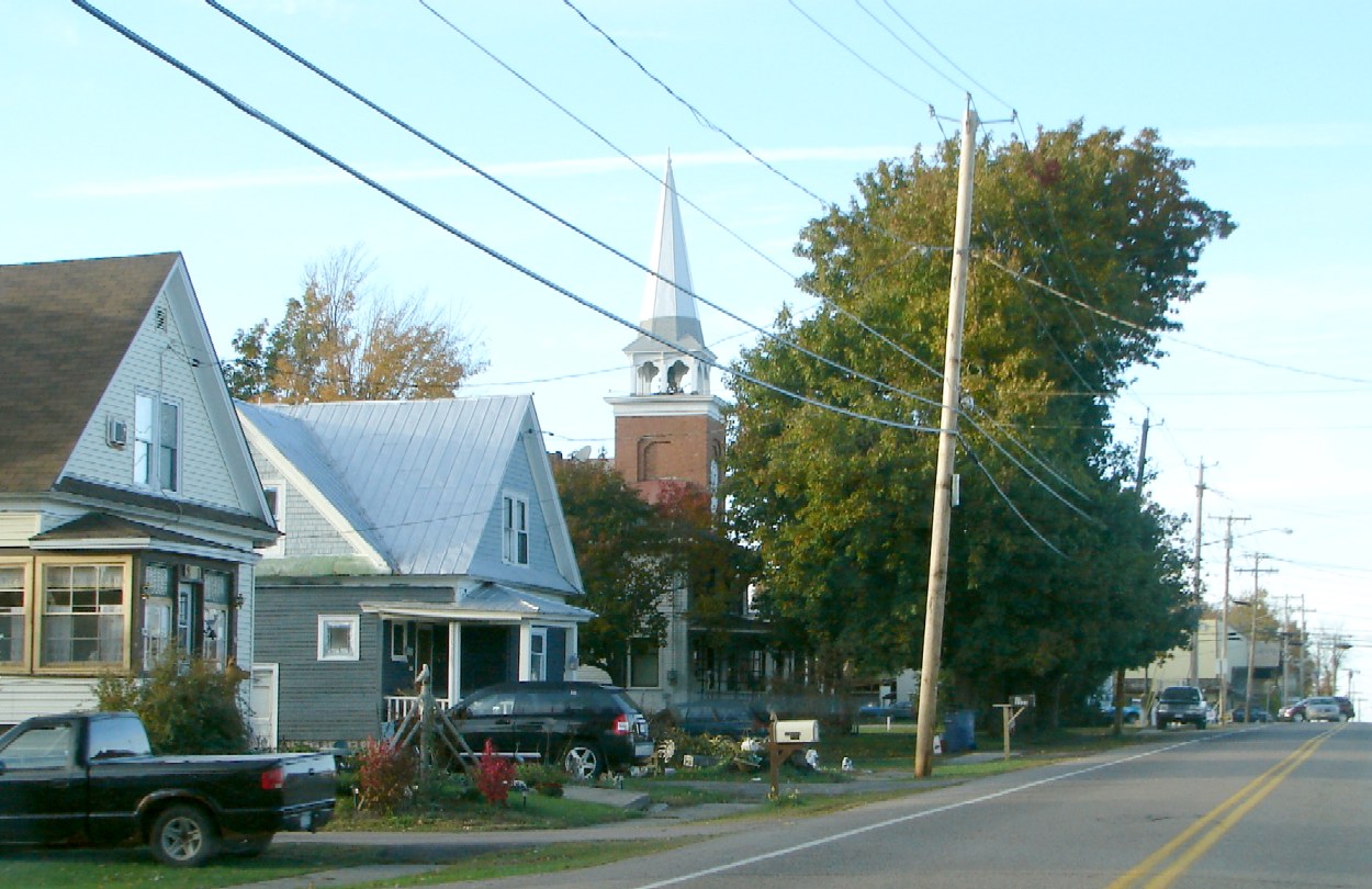
- Moira, New York
-
Moira — Town —  Location within the state of New York
 Moira
MoiraCoordinates: 44°49′49″N 74°32′47″W / 44.83028°N 74.54639°W Country United States State New York County Franklin Government - Type Town Council - Town Supervisor Cindy M. Gale (R) - Town Council Members' ListArea - Total 45.2 sq mi (117.1 km2) - Land 45.2 sq mi (117.1 km2) - Water 0.0 sq mi (0 km2) Elevation 377 ft (115 m) Population (2000) - Total 2,857 - Density 63.2/sq mi (24.4/km2) Time zone Eastern (EST) (UTC-5) - Summer (DST) EDT (UTC-4) ZIP code 12957 Area code(s) 518 FIPS code 36-47933 GNIS feature ID 0979228 Moira is a town in Franklin County, New York, United States. The population was 2,857 at the 2000 census. Moira is located on the western border of Franklin County and is west of the Village of Malone.
Contents
History
Settlement began around 1803. The town was formed in 1828 from the Town of Dickinson. The Ogdensburg and Lake Champlain Railroad was founded in 1849 as the Northern Railroad running from Ogdensburg through Moira to Rouses Point. In 1883, the Northern Adirondack Railroad was built from Moira south to St. Regis Falls, a major lumbering area. In 1885, the railroad was extended southwards to Santa Clara, and by 1890 it was extended further south, eventually reaching Tupper Lake.
Geography
According to the United States Census Bureau, the town has a total area of 45.2 square miles (117 km2), all of it land.
US Route 11 is an east-west highway across the town. US-11 intersects New York State Route 95, a north-south highway ending in the hamlet of Moira.
The west town line is the border of St. Lawrence County.
Demographics
As of the census[1] of 2000, there were 2,857 people, 1,130 households, and 775 families residing in the town. The population density was 63.2 people per square mile (24.4/km²). There were 1,286 housing units at an average density of 28.4 per square mile (11.0/km²). The racial makeup of the town was 98.07% White, 0.49% African American, 0.56% Native American, 0.25% Asian, 0.14% from other races, and 0.49% from two or more races. Hispanic or Latino of any race were 0.70% of the population.
There were 1,130 households out of which 32.4% had children under the age of 18 living with them, 52.7% were married couples living together, 10.2% had a female householder with no husband present, and 31.4% were non-families. 24.3% of all households were made up of individuals and 10.5% had someone living alone who was 65 years of age or older. The average household size was 2.51 and the average family size was 2.97.
In the town the population was spread out with 26.0% under the age of 18, 7.9% from 18 to 24, 28.7% from 25 to 44, 25.0% from 45 to 64, and 12.4% who were 65 years of age or older. The median age was 37 years. For every 100 females there were 98.0 males. For every 100 females age 18 and over, there were 93.5 males.
The median income for a household in the town was $26,393, and the median income for a family was $33,047. Males had a median income of $29,779 versus $19,866 for females. The per capita income for the town was $13,270. About 14.5% of families and 18.4% of the population were below the poverty line, including 22.8% of those under age 18 and 13.4% of those age 65 or over.
Communities and locations in Moira
- Alburg – A hamlet at the south town line on County Road 5.
- Brushton – The Village of Brushton is east of Moira village on US-11 at County Road 8. It was formerly known as "Brush's Mills."
- Irish Corners – A hamlet on the south town line on County Road 5, east of Alburg.
- Moira – The hamlet of Moira at the junction of US-11 and NY-95.
References
- ^ "American FactFinder". United States Census Bureau. http://factfinder.census.gov. Retrieved 2008-01-31.
External links
Coordinates: 44°49′05″N 74°33′21″W / 44.81806°N 74.55583°W
Municipalities and communities of Franklin County, New York County seat: Malone Towns Bangor | Bellmont | Bombay | Brandon | Brighton | Burke | Chateaugay | Constable | Dickinson | Duane | Fort Covington | Franklin | Harrietstown | Malone | Moira | Santa Clara | Tupper Lake | Waverly | Westville
Villages Brushton | Burke | Chateaugay | Malone | Saranac Lake‡ | Tupper Lake
Hamlets Gabriels | Goldsmith | Hogansburg | Keese Mill | Lake Clear | Paul Smiths | Skerry | Upper St. Regis | Vermontville
Indian
reservationFootnotes ‡This populated place also has portions in an adjacent county or counties
Categories:- Towns in New York
- Populated places in Franklin County, New York


Wikimedia Foundation. 2010.