- Debiganj Upazila
-
Debiganj
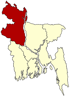
দেবীগঞ্জ— Upazila — Location in Bangladesh
 Debiganj
Coordinates: 26°7.1′N 88°45.6′E / 26.1183°N 88.76°ECoordinates: 26°7.1′N 88°45.6′E / 26.1183°N 88.76°E Country  Bangladesh
Division Rangpur Division District Panchagarh District Area - Total 309.04 km2 (119.3 sq mi) Population (1991) - Total 159,902 - Density 517/km2 (1,339/sq mi) Time zone BST (UTC+6) Postal code 5020 Website Official Map of Debiganj Debiganj (Bengali: দেবীগঞ্জ) is an Upazila of Panchagarh District in the Division of Rangpur, Bangladesh.
Contents
Geography
Debiganj Upazila is located at 26°07′07″N 88°45′33″E / 26.11858°N 88.7592991°E. It has 31532 units of house hold and total area 309.04 km².
Demographics
As of the 1991 Bangladesh census, Debiganj has a population of 159902. Males constitute are 51.02% of the population, and females 48.98%. This Upazila's eighteen up population is 77660. Debiganj has an average literacy rate of 24.8% (7+ years), and the national average of 32.4% literate.[1]
Administrative
Debiganj has 10 Unions/Wards, 106 Mauzas/Mahallas, and 101 villages.
See also
References
- ^ "Population Census Wing, BBS.". Archived from the original on 2005-03-27. http://web.archive.org/web/20050327072826/http://www.bangladeshgov.org/mop/ndb/arpc91_v1/tables04.htm. Retrieved November 10, 2006.
Categories:- Upazilas of Panchagarh District
- Rajshahi Division geography stubs

Wikimedia Foundation. 2010.