- Debiganj
-
Debiganj
দেবীগঞ্জ— City —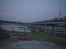 Debiganj Karatoya River
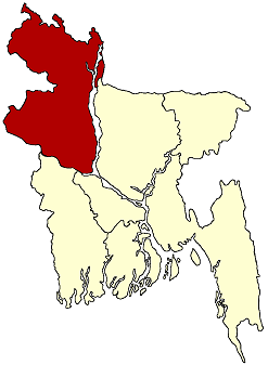
 Location in Bangladesh
 Debiganj
Coordinates: 26°7.1′N 88°45.6′E / 26.1183°N 88.76°ECoordinates: 26°7.1′N 88°45.6′E / 26.1183°N 88.76°E Country  Bangladesh
Division Rangpur Division District Panchagarh District City Debiganj Area – Total 309.04 km2 (119.3 sq mi) Population (1991) – Total 159,902 – Density 517/km2 (1,339/sq mi) Time zone BST (UTC+6) Postal code 5020 Website Official Map of Debiganj Debiganj (Bengali: দেবীগঞ্জ) is an City of Panchagarh District in the Division of Rangpur, Bangladesh.
Contents
Geography
Debiganj Upazila is located at 26°07′07″N 88°45′33″E / 26.11858°N 88.7592991°E. It has 31532 units of house hold and total area 309.04 km².
Demographics
As of the 1991 Bangladesh census, Debiganj has a population of 159902. Males constitute are 51.02% of the population, and females 48.98%. This Upazila's eighteen up population is 77660. Debiganj has an average literacy rate of 24.8% (7+ years), and the national average of 32.4% literate.[1]
Administrative
Debiganj has 10 Unions/Wards, 106 Mauzas/Mahallas, and 101 villages.
- Debiganj Union
- Chengtihazradanga Union
- Dandapal Union
- Debidoba Union
- Pamuli Union
- Chilahati Union
- Sonahar union
- Saldanga Union
- Sundardighi Union
- Tepriganj Union
History
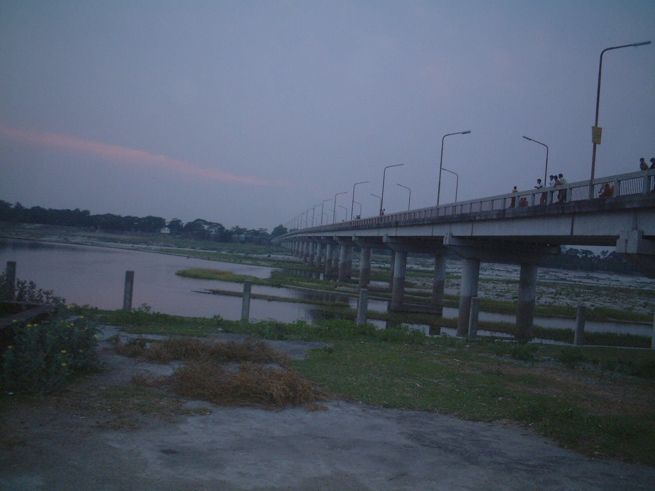
 Debiganj Bridge
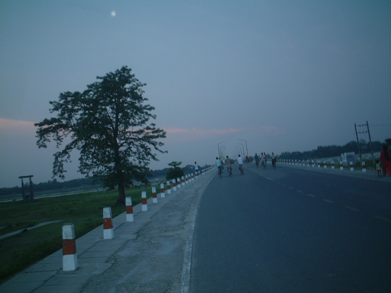
 Debiganj_road
Debiganj (panchagarh district) with an area of 309.04 km2, is bounded by boda and panchagarh sadar upazilas on the north, birganj, khansama and nilphamari sadar upazilas on the south, domar upazilas and West Bengal of India on the east, thakurgaon sadar and Boda upazilas on the west. Main rivers are karatoya, atrai, Patharia.
Debiganj (Town) stands on the eastern bank of the Karatoya. It consists of two mouzas with an area of 8.76 km2. It has a population of 9320; male 51.14%, female 48.86%. The density of population is 1064 per km2. The literacy rate among the town people is 43.4%. The town has one dakbungalow.
Administration Debiganj thana, now an upazila, was established in 1928. It consists of 10 unions, 108 mouzas and 101 villages. Archaeological heritage Revenue office building and old residential house of the raja of Kuch Bihar; Jagabandhu Thakur-bari. Population 159902; male 51.02%, female 48.98%; Muslim 72.07%, Hindu 27.55%, others .38%; ethnic nationals- Santals 68 families.Religious institutions Mosque 343, temple 26, church 1. Literacy and educational institutions Average literacy 24.8%; male 33.1%, female 16%. Educational institutions: college 4, government high school 2, non-Government high school 36, government primary school 72, non-government high school 53, madrasa 8, agricultural research institute 1. Old institutions: Pirafata Primary School (1904), Binoypur Primary School (1905), Debiganj Nripendra Narayan government High School (1906). Cultural organisations Rural club 32, public library 1, cinema hall 3, playground 50, women's organisation 1. Main occupations Agriculture 54.45%, commerce 6.49%, agricultural labourer 26.87%, wage labourer 2.4%, service 2.82%, others 6.97%. Land use Cultivable land 25359 hectares, fallow land 288 hectares; single crop 15%, double crop 64%, treble crop 21%. Arable land under irrigation 39%. Land control Among the peasants, 45% are landless, 15% small peasant, 25% marginal, 10% intermediate and 5% rich; cultivable land per head 0.19 hectare. Value of land The market value of first grade arable land is Taka 1600 per 0.01 hectare. Main crops Paddy, jute, wheat, onion, ginger, turmeric, garlic, Chinese almond. Extinct and nearly extinct crops Savory, millet, aus paddy, kaun. Main fruits Mango, jackfruit, litchi, papaya, banana, guava. Communication facilities Highway 23 km, pucca road 59 km, semi pucca road 5 km., mud road 500 km. Traditional transport Horse carriage, palanquin, bullock cart. These means of transport are extinct or nearly extinct. Manufactories Husking mill 25, saw mill 8. Cottage industries Weaving 40, bamboo work 60, wood work 30, welding 5, goldsmith 8, blacksmith 11, potteries 40, tailor 60. Hats, bazars and fairs Hats and bazars are 40, fair 1. Noted hats are Deviganj, Kaliganj, Bhawlaganj, Saldanga, Dhulajhari, Fulbari, Sonar hat, Lakshmi hat, Mallikadaha Club's hat. NGO activities Operationally important NGOs are brac, asa, CARE, grameen bank, Gonosahajya Sangstha, Gram Unnayan Sangstha. Health centres Upazila health complex 1, satellite clinic 4, community clinic 9, family planning centre 8. Enclave The Indian enclaves in the upazila are Behula-danga, Balapara, Kot-bhajani, Dahla Khagra bari.
Education
- Debiganj N.N.Govt.High School
- Debiganj Alodini Govt. Girls High School
- Debiganj Girls High School
- Dr.Major(Rec.)T.Zaman High School
- Mirza Golam Hafiz High School
Politics
Economy
Template:Agricultur,busniess and services
Places of interest
- Korotoa Setu
- Maynamotir Chor
- Khoyar Bagan
See also
References
- ^ "Population Census Wing, BBS.". Archived from the original on 2005-03-27. http://web.archive.org/web/20050327072826/http://www.bangladeshgov.org/mop/ndb/arpc91_v1/tables04.htm. Retrieved November 10, 2006.
Cities of Bangladesh Barisal • Bogra • Chittagong • Comilla • Dhaka • Faridpur • Jessore • Khulna • Maulvi Bazar • Mymensingh • Narayanganj • Rangpur • Rajshahi • SylhetCategories:- Panchagarh District
- Rangpur Division
- Populated places in Bangladesh


Wikimedia Foundation. 2010.