- Devil's Pocket, Philadelphia, Pennsylvania
-
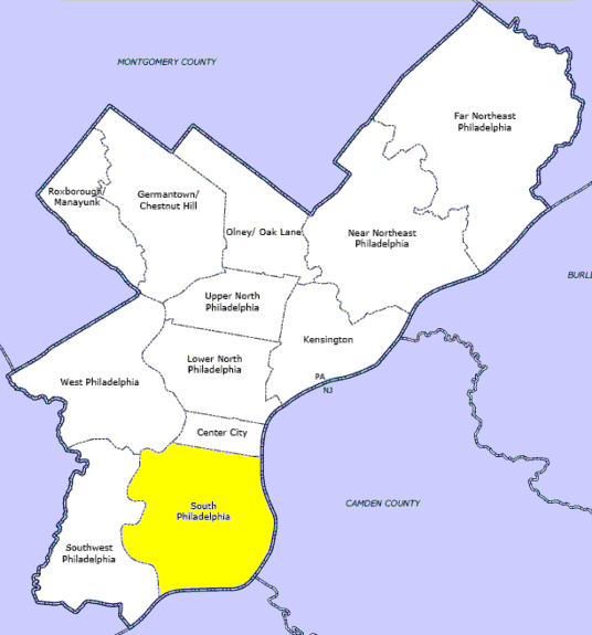
Devil's Pocket is a neighborhood in the South Philadelphia section of Philadelphia, Pennsylvania. It is south of Lombard Street, east of 27th Street and north of Washington Avenue,[1] on the western edge of Southwest Center City.
Devil's Pocket is a very small neighborhood of rowhouses tucked near an industrial landscape along the banks of the river. It has historically been heavily Irish-American. The term "Devil's Pocket", not commonly used today, is said to have originated with a priest saying the neighborhood kids were so bad they would steal a chain out of the devil's pocket.[2]
The area north of Bainbridge and west of Gray's Ferry Ave is separated from the remainder of this area by the former Navy Hospital, now Naval Square, a condominium complex developed by Toll Brothers. Like the surrounding neighborhoods, this area has seen dramatic investment and rehabilitation, resulting in increased gentrification, and a further dilution of the Irish-American populace. Despite the increase in gentrification, however, there remains a large Irish population.
North of this location, the Philadelphia School, a private school serving Pre-K through 8th grade, has petitioned to expand on an adjacent site.
External links
References
- ^ Philadelphia Neighborhoods
- ^ It's No Hell's Kitchen, South Philly Review
Neighborhoods of the South Philadelphia section of Philadelphia, Pennsylvania Bella Vista • Central South Philadelphia • Devil's Pocket • Dickinson Narrows • East Passyunk Crossing • FDR Park • Girard Estate • Grays Ferry • Greenwich • Hawthorne • Italian Market • Lower Moyamensing • Marconi Plaza • Moyamensing • Newbold • Packer Park • Passyunk Square • Pennsport • Point Breeze • Queen Village • Schuykill • Southwark • Southwest Center City • Sports Complex • Tasker • West Passyunk • Wharton • Whitman • Wilson Park
 Categories:
- Neighborhoods in Philadelphia, Pennsylvania
- Irish-American neighborhoods
- Pennsylvania geography stubs
Wikimedia Foundation. 2010.