- Moyamensing, Philadelphia, Pennsylvania
-
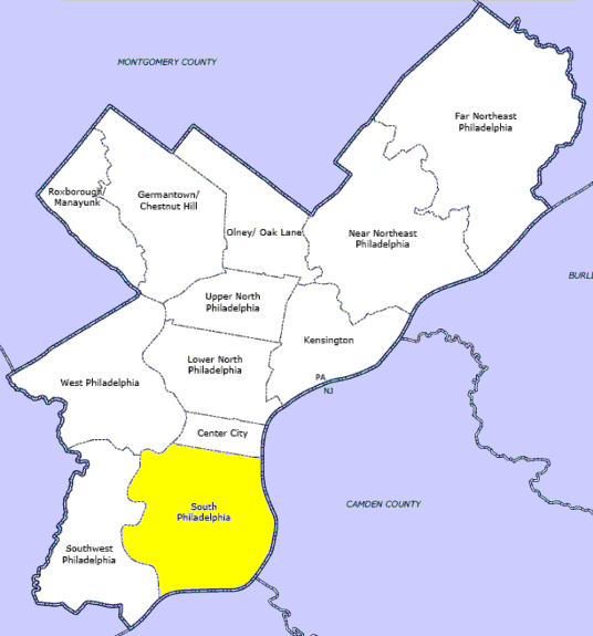
Moyamensing was originally a township on the fast land of the Neck, lying between Passyunk and Wicaco.[1] It was incorporated into the Philadelphia County, Pennsylvania and is today primarily a neighborhood in the South Philadelphia section of Philadelphia, Pennsylvania, United States.[2]
Contents
History
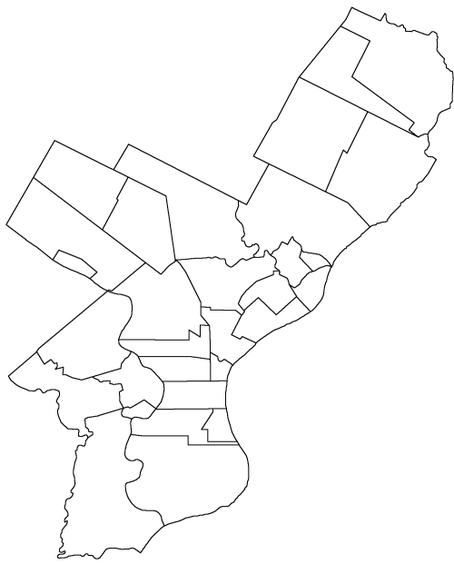
 Map of Philadelphia County, Pennsylvania highlighting Moyamensing District prior to the Act of Consolidation, 1854
The tract was granted by the Dutch West India Company Lieutenant Alexander d'Hinoyossa, Vice-Director of New Amstel to Martin Clensmith, William Stille and Lawrence Andries.[3] In 1684, when the land was turned over from the Dutch to the English, the title was given by William Penn to William Stille, Lassey Andrews, Andrew Bankson and John Matson.[4]
Moyamensing Township included this ground and Wicaco, except such parts of the latter as were included in Southwark. Its northern boundary was South Street and below the existing parts of Southwark; its eastern boundary was the Delaware River, and its western boundary was Schuylkill Sixth (Seventeenth Street). [5]
In 1816 the greatest length of Moyamensing was estimated to be 3 miles; the greatest breadth, 2 miles; area, 2,560 acres (10 km²). By act of March 24, 1812, the inhabitants of Moyamensing were incorporated by the style of "the commissioners and inhabitants of the township of Moyamensing." By act of April 4, 1831, the township was divided into East and West Moyamensing. The township was one of the earliest created after the settlement of Pennsylvania, and became part of Philadelphia in 1854.[6]
The Moyamensing Prison was built between 1822-1835 at Reed and 10th Streets. A portion of it also housed a Debtors Prison. The structure was demolished in 1967.[7]
References
- ^ Where Pennsylvania History Began (by Henry D. Paxon, The Swedish Colonial Society, 1926)
- ^ Moyamensing (Philadelphia History) http://www.ushistory.org/philadelphia/incorporated.html
- ^ The Stille Family in America 1641–1772 (by Peter Stebbins Craig. Swedish American Genealogist - Vol. 6 No. 4 Dec 1986)
- ^ The Pennsylvania State Archives (Minutes of the Board of Property of the Province of Pennsylvania.Page: 354 Series 2, Volume: XIX)http://www.footnote.com/image/3304731/
- ^ Chronology of the Political Subdivisions of the County of Philadelphia, 1683-1854 http://www.phila.gov/phils/Docs/Inventor/graphics/wards/wards1.htm
- ^ Incorporated District, Boroughs, and Townships in the County of Philadelphia, 1854 http://www.ushistory.org/philadelphia/incorporated.html
- ^ http://www.library.upenn.edu/collections/rbm/photos/biswanger/poe-1849-philadelphia.html Raymond Biswanger collection at the University of Pennsylvania
Other sources
- Walther, Rudolph J. Happenings in Ye Olde Philadelphia 1680-1900 (Philadelphia, PA: Walther Printing House, 1925)
- Craig, Peter Stebbins Olof Persson Stille and his Family (Philadelphia, PA: Swedish Colonial News. Volume 1, Number 16. Fall 1997)
External links
Neighborhoods of the South Philadelphia section of Philadelphia, Pennsylvania Bella Vista • Central South Philadelphia • Devil's Pocket • Dickinson Narrows • East Passyunk Crossing • FDR Park • Girard Estate • Grays Ferry • Greenwich • Hawthorne • Italian Market • Lower Moyamensing • Marconi Plaza • Moyamensing • Newbold • Packer Park • Passyunk Square • Pennsport • Point Breeze • Queen Village • Schuykill • Southwark • Southwest Center City • Sports Complex • Tasker • West Passyunk • Wharton • Whitman • Wilson Park

Incorporated Districts, Boroughs, and Townships in the County of Philadelphia, Pennsylvania prior to the Act of Consolidation, 1854 Aramingo Borough | Belmont District | Blockley Township | Bridesburg Borough | Bristol Township | Byberry Township | Delaware Township | Frankford Borough | Germantown Borough | Germantown Township | Kensington District | Kingsessing Township | Lower Dublin Township | Manayunk Borough | Moreland Township | Moyamensing District | Northern Liberties District | Northern Liberties Township | Oxford Township | Passyunk Township | Penn District | Penn Township | Philadelphia City | Roxborough Township | Richmond District | Southwark District | Spring Garden District | West Philadelphia Borough | Whitehall Borough
Coordinates: 39°56′02″N 75°08′54″W / 39.93382°N 75.14832°W
Categories:- Neighborhoods in Philadelphia, Pennsylvania
- Municipalities in Philadelphia County prior to the Act of Consolidation, 1854
- Populated places established in 1820
- 1820 establishments in the United States
- 1854 disestablishments

Wikimedia Foundation. 2010.