- Nangus, New South Wales
-
Nangus
New South Wales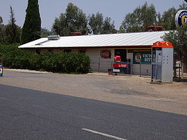
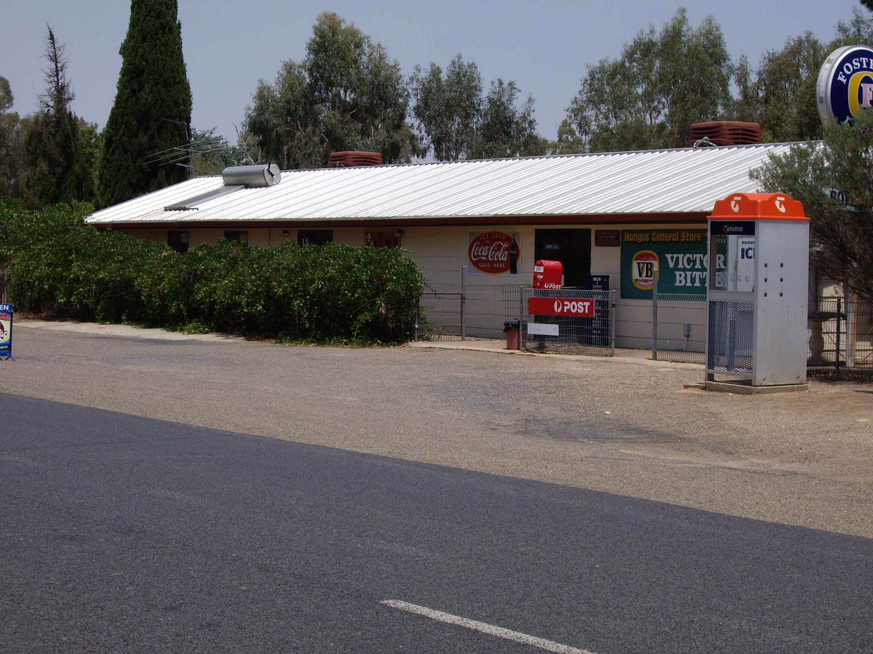
Nangus General Store
 Nangus
Population: 179 (2006 Census)[1] Postcode: 2722 Coordinates: 35°3′19″S 147°54′25″E / 35.05528°S 147.90694°ECoordinates: 35°3′19″S 147°54′25″E / 35.05528°S 147.90694°E Elevation: 220 m (722 ft) Location: - 20 km (12 mi) from Gundagai
- 21 km (13 mi) from Mitta Mitta
- 58 km (36 mi) from Wagga Wagga
- 397 km (247 mi) from Sydney
LGA: Gundagai Shire Council County: Clarendon State District: Burrinjuck Nangus is a small country village on the Wagga Wagga to Gundagai Road on the north side of the Murrimbidgee river. From Nangus, Junee, Gundagai, Wantabadgery, Oura and Wagga Wagga are accessible. Nangus approximately 24 kilometres due west of Gundagai in the Riverina area of Australia and in Gundagai Shire. At the 2006 census, Nangus had a population of 179 people.[1] The nearby Nangus Station and Yabtree Station are heritage listed.
Nangus Post Office opened on 1 July 1897. [2]
The Nangus store was destroyed by fire in 1981, and rebuilt the following year. During the transition time the store was relocated to a small building opposite the Shell service station.[citation needed]
Nangus has a post office, general store, with an off-site liquor license, public school, public hall, petrol station, tennis courts, and hockey fields amongst some of its services and attractions.
Nangus does not have a reticulated water supply.
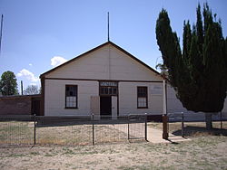 Nangus Public Hall
Notes and references
- ^ a b Australian Bureau of Statistics (25 October 2007). "Nangus (State Suburb)". 2006 Census QuickStats. http://www.censusdata.abs.gov.au/ABSNavigation/prenav/LocationSearch?collection=Census&period=2006&areacode=SSC18289&producttype=QuickStats&breadcrumb=PL&action=401. Retrieved 7 November 2009.
- ^ Premier Postal History, Post Office List, https://www.premierpostal.com/cgi-bin/wsProd.sh/Viewpocdwrapper.p?SortBy=NSW&country=, retrieved 2009-06-11
Categories:- Towns in New South Wales
- Towns in the Riverina


Wikimedia Foundation. 2010.