- Adjungbilly, New South Wales
Infobox Australian Place | type = town
name = Adjungbilly
state = nsw
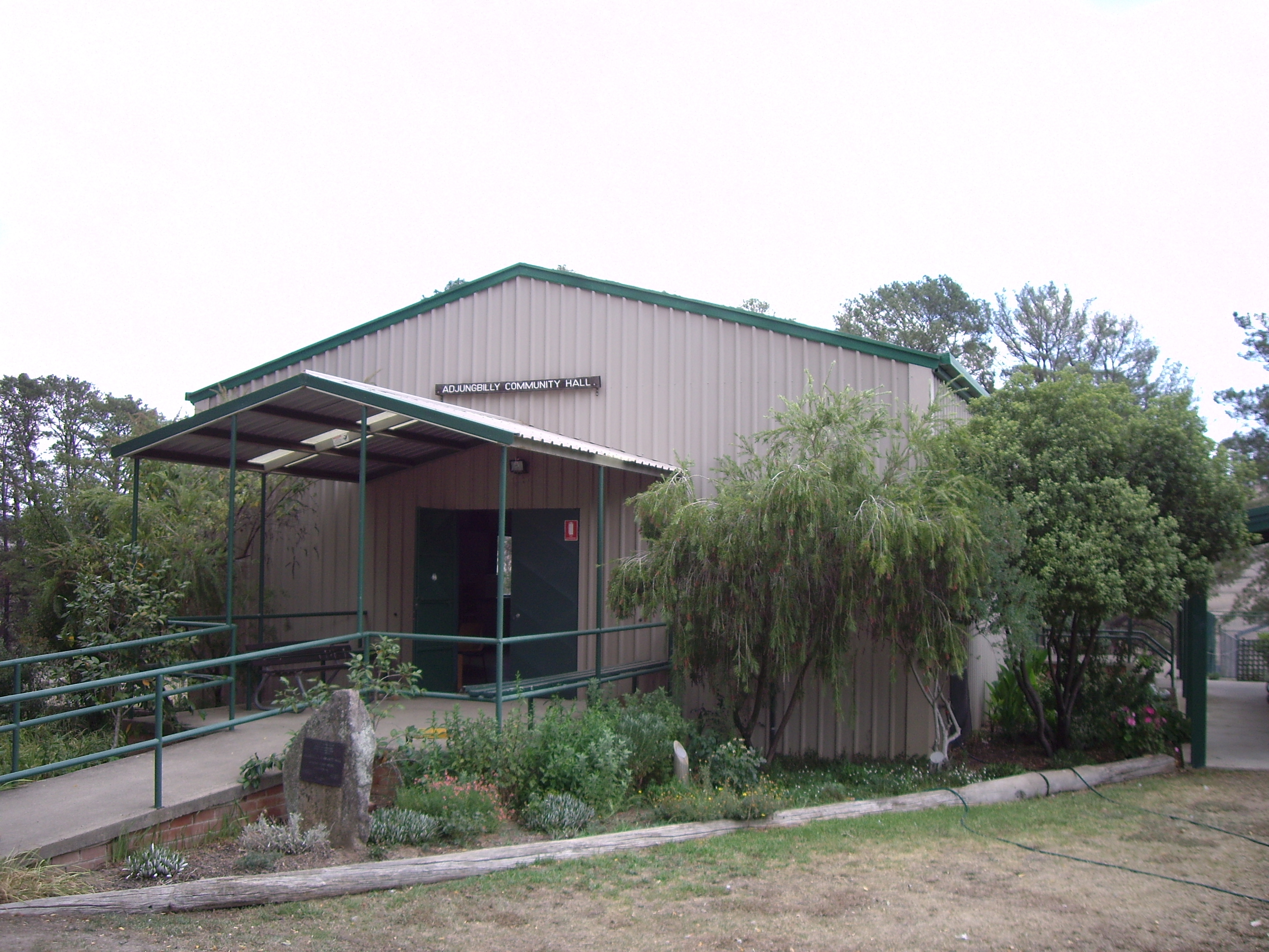
caption = Adjungbilly Community Hall
lga =Gundagai Shire Council
postcode = 2727
coordinates = coord|35|4|53|S|148|24|35|E |scale:100000_region:AU-NSW |display=title,inline
pop = 207 (within 7 km radius)
est =
elevation= 207
maxtemp =
mintemp =
rainfall =
county = Buccleuch
stategov = Burrinjuck
fedgov =
dist1 = 367
location1= Sydney
dist2 = 129
location2= Wagga Wagga
dist3 = 35
location3= Tumut
dist4 = 29
location4= Gobarralong [ [http://www.travelmate.com.au/MapMaker/MapMaker.asp Travelmate] ]Adjungbilly is a rural community in the central east part of the
Riverina and on the north-western edge of theSnowy Mountains . It is situated about 29 kilometres south east from Gobarralong and 35 kilometres north east from Tumut. It has a population within a 7 kilometre radius of approximately 20 people. [ [http://www.fallingrain.com/world/AS/Adjungbilly.html www.fallingrain.com Adjungbilly] ]The area of Adjungbilly was originally referred to as Nadjongbilla, from the
Wiradjuri word "nadjong" meaning water; and "billa" meaning creek, therefore referring to the area's creek with its permanent water supply. [ [http://www.gnb.nsw.gov.au/name_search/extract?id=JPckoetL Geographical Names Board of NSW] ]The area has a Community
Hall and a small isolatedprimary school named the Bongongo Public School probably in relation to the nearby Bongongo Station.Notes and references
Wikimedia Foundation. 2010.