Lockhart, New South Wales
- Lockhart, New South Wales
Infobox Australian Place | type = town
name = Lockhart
state = nsw
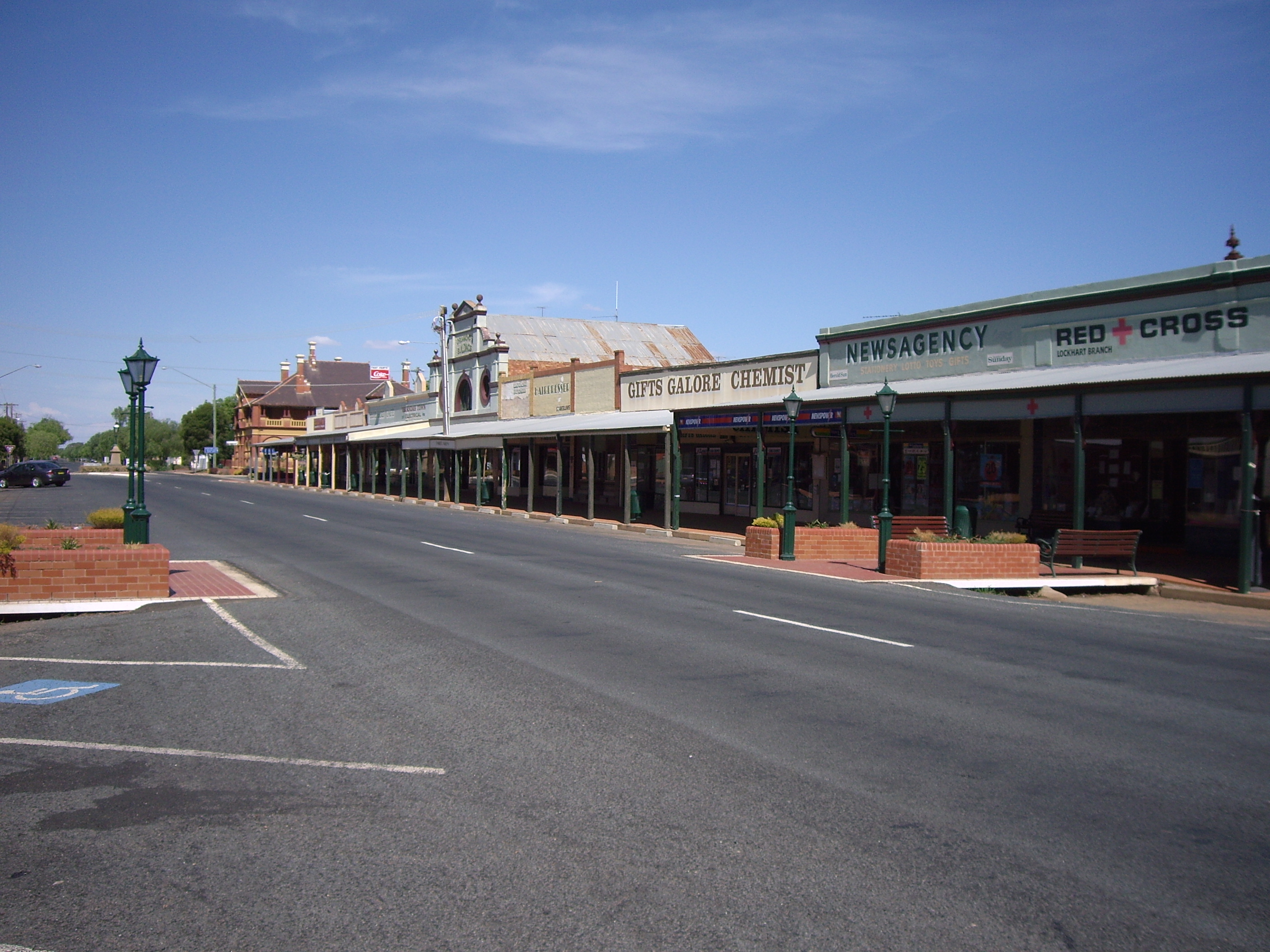
caption = Looking east in the main street of Lockhart
lga = Lockhart Shire Council
postcode = 2656
pop = 887
est =
elevation=
maxtemp =
mintemp =
rainfall =
county = Urana
stategov = Wagga Wagga
fedgov = Division of Riverina
dist1 =
location1= Sydney
dist2 =
location2=Melbourne
dist3 =
location3=Wagga Wagga, New South Wales
Lockhart is a town of 950 people and Local Government Area in the Riverina Region of New South Wales, Australia. It is the location of the Lockhart Shire Council offices. Lockhart was named after C.G.N. Lockhart - a commissioner for Crown Lands in the Murrumbidgee River area in the 1850's. It was originally known as Greens Gunyah, and renamed Lockhart in 1897. Greens Gunyah was so named because a Mr Green was the earliest settler and had a grog shop there, on the Urana - Wagga Wagga stagecoach route.
Tim Fischer, National Party leader (1990-1999) and 11th Deputy Prime Minister of Australia was born here.
ee also
* Railway through Lockhart
References
Wikimedia Foundation.
2010.
Look at other dictionaries:
Milbrulong, New South Wales — Milbrulong New South Wales Entering Milbrulong … Wikipedia
Osborne, New South Wales — Osborne New South Wales … Wikipedia
Oaklands, New South Wales — Oaklands New South Wales Milthorpe Street, the main street of Oaklands … Wikipedia
Maude, New South Wales — Maude New South Wales Post office and general store … Wikipedia
Coolamon, New South Wales — Coolamon New South Wales Coolamon seen as entering from the Wagga Wagga road … Wikipedia
Mulwala, New South Wales — Mulwala New South Wales New residential development on the shore of Lake Mulwala … Wikipedia
Henty, New South Wales — Infobox Australian Place | type = town name = Henty state = nsw caption = Entering Henty postcode = 2658 elevation= 259 county = Hume lga = Greater Hume Shire Council stategov = Albury fedgov = Farrer pop = 856 (2001 census) dist1 = 65 |… … Wikipedia
Oxley, New South Wales — Oxley New South Wales Entry sign … Wikipedia
Coreen, New South Wales — Coreen New South Wales The now disused Coreen Hotel … Wikipedia
Methul, New South Wales — Methul New South Wales Methul is red soil wheat country in the Riverina … Wikipedia