- Karki, Azerbaijan
-
Karki
Tigranashen
ՏիգրանաշէնView of Tigranashen from the main north-south highway of Armenia
 Karki
Karki
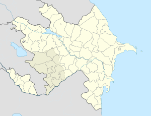
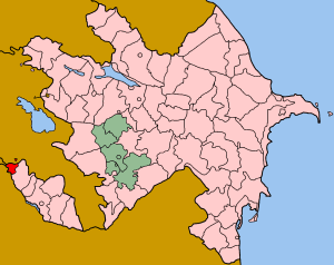
TigranashenCoordinates: 39°47′08″N 44°56′37″E / 39.78556°N 44.94361°E Country  Azerbaijan
Autonomous republic Nakhchivan Rayon Sadarak Time zone AZT (UTC+4) - Summer (DST) AZT (UTC+5) Karki (also Kərki, Kiarki, Kyarki) or Tigranashen is de jure an exclave of Azerbaijan's Nakhchivan Autonomous Republic, itself an exclave; de facto it is part of the Ararat Province of Armenia. It is part of the Sadarak Rayon and is completely surrounded by Armenia - therefore making it also an enclave - and has been occupied by Armenia since the Nagorno-Karabakh War in May 1992. The main highway connecting northern Armenia with southern Armenia passes right by this village. Today, the village is mostly inhabited by Armenians both local and refugees from Azerbaijan.[1] It has been renamed Tigranashen by the Armenian government,[2] and its size is about 19 square kilometers.[3]
See also
- Artsvashen
- Barkhudarli
- Yukhari Askipara
- Ashagi Askipara
References
- ^ Brady Kiesling, Rediscovering Armenia, p. 30; original archived at Archive.org, and current version online on Armeniapedia.org.
- ^ Karki / Tigranashen exclave - Azerbaijan - Azerb.com
- ^ [1]
Coordinates: 39°48′N 44°58′E / 39.8°N 44.967°E
Karki, Qaraağac, Sədərək Categories:
- Nakhchivan geography stubs
- Populated places in Azerbaijan
- Populated places in Sadarak Rayon
- Exclaves
- Enclaves


Wikimedia Foundation. 2010.