- National Register of Historic Places listings in Cabell County, West Virginia
-
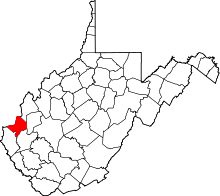 Location of Cabell County in West Virginia
This is a list of the National Register of Historic Places listings in Cabell County, West Virginia.
This is intended to be a complete list of the properties and districts on the National Register of Historic Places in Cabell County, West Virginia. The locations of National Register properties and districts for which the latitude and longitude coordinates are included below, may be seen in a Google map.[1]
There are 37 properties and districts listed on the National Register in the county, one of which is a National Historic Landmark.
-
- This National Park Service list is complete through NPS recent listings posted November 10, 2011.[2]
Contents: Counties in West Virginia Barbour - Berkeley - Boone - Braxton - Brooke - Cabell - Calhoun - Clay - Doddridge - Fayette - Gilmer - Grant - Greenbrier - Hampshire - Hancock - Hardy - Harrison - Jackson - Jefferson - Kanawha - Lewis - Lincoln - Logan - Marion - Marshall - Mason - McDowell - Mercer - Mineral - Mingo - Monongalia - Monroe - Morgan - Nicholas - Ohio - Pendleton - Pleasants - Pocahontas - Preston - Putnam - Raleigh - Randolph - Ritchie - Roane - Summers - Taylor - Tucker - Tyler - Upshur - Wayne - Webster - Wetzel - Wirt - Wood - Wyoming
Current listings
[3] Landmark name Image Date listed Location City or town Summary 1 Baltimore and Ohio Railroad Depot 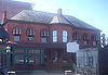
October 30, 1973 1100 block of Veterans Memorial Boulevard
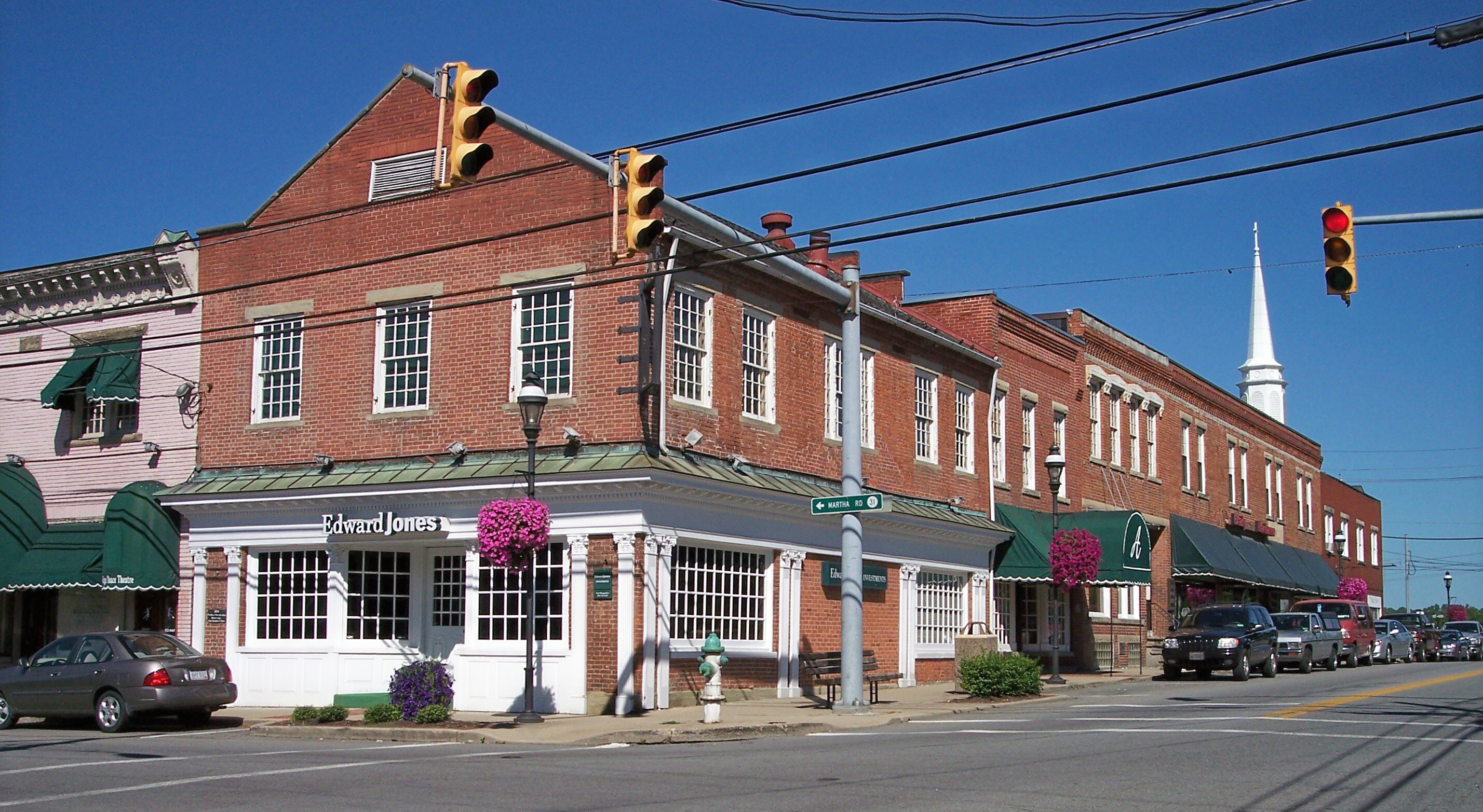
38°25′24″N 82°26′33″W / 38.423333°N 82.4425°WHuntington 2 Barboursville Historic District 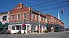
December 24, 2008 Water, Main, and Brady Sts. and Central Ave.
38°24′35″N 82°17′42″W / 38.40982°N 82.29509°WBarboursville 3 Barnett Hospital and Nursing School December 30, 2009 1201 7th Ave.
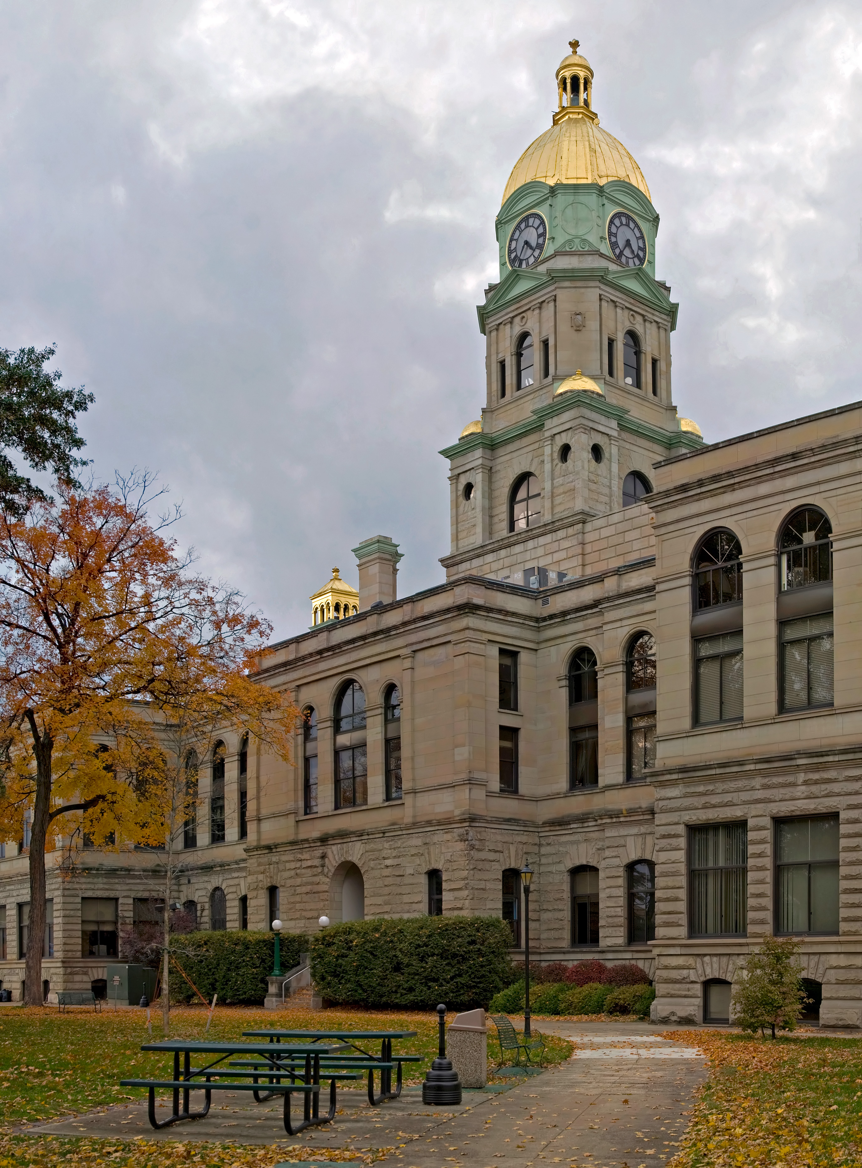
38°25′03″N 82°26′15″W / 38.417617°N 82.437514°WHuntington 4 Cabell County Courthouse 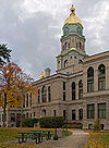
September 2, 1982 5th Ave. and 8th St.
38°25′11″N 82°26′47″W / 38.419722°N 82.446389°WHuntington 5 Campbell-Hicks House August 19, 1985 1102 5th Ave.
38°25′12″N 82°26′21″W / 38.42°N 82.439167°WHuntington 6 Carnegie Public Library April 3, 1980 900 5th Ave.
38°25′11″N 82°26′36″W / 38.419722°N 82.443333°WHuntington 7 Thomas Carroll House June 1, 1973 234 Guyan St.
38°25′44″N 82°23′24″W / 38.428889°N 82.39°WHuntington 8 Chesapeake and Ohio 1308 Steam Locomotive January 31, 2003 1401 Memorial Boulevard
38°24′18″N 82°28′37″W / 38.405°N 82.476944°WHuntington 9 Clover Site 
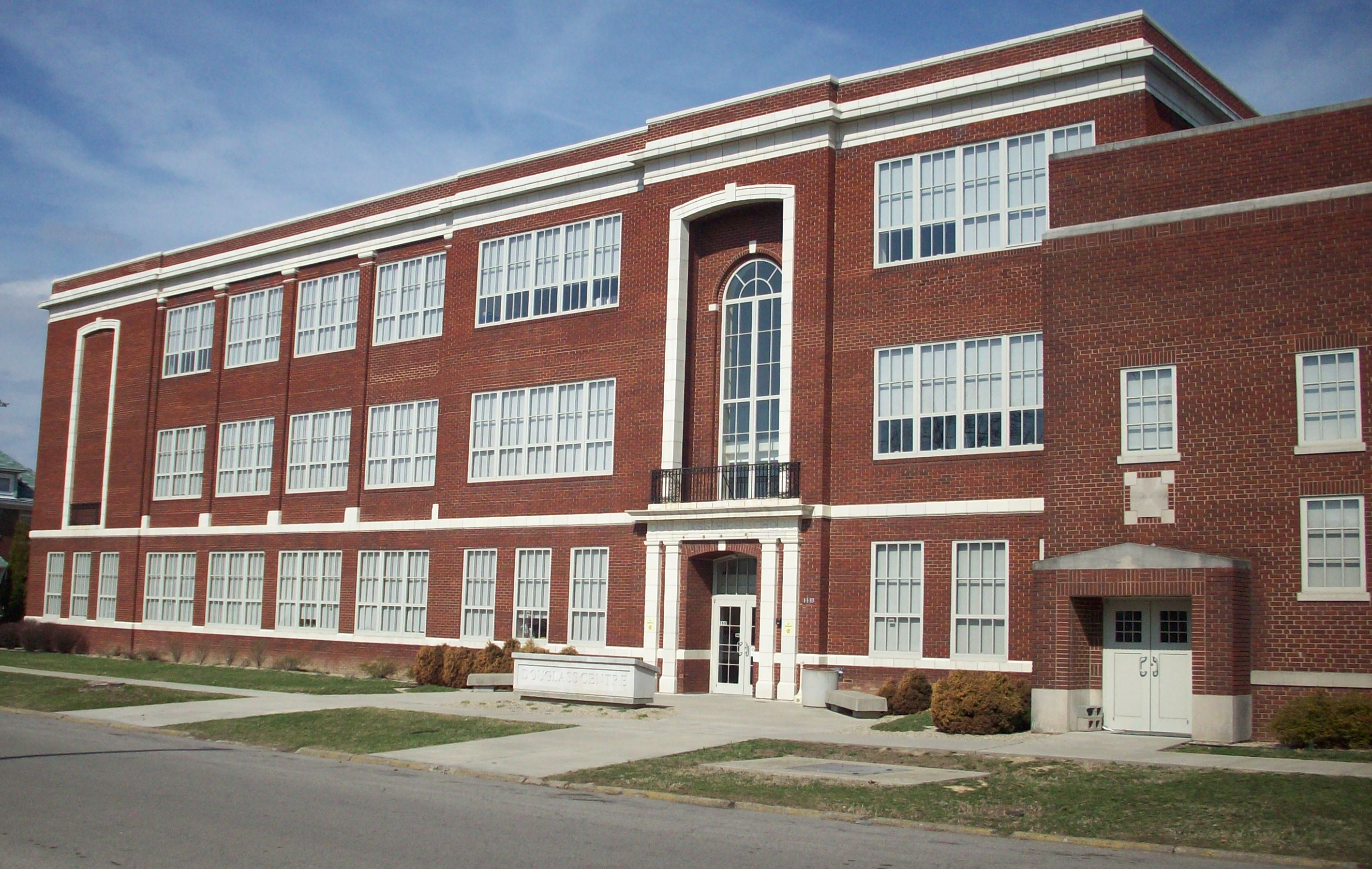
April 27, 1992 Address Restricted Lesage 10 Douglass Junior and Senior High School 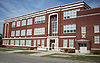
December 5, 1985 10th Ave. and Bruce St.
38°24′52″N 82°25′53″W / 38.414444°N 82.431389°WHuntington 11 Downtown Huntington Historic District None Roughly bounded by 3rd Ave., 10th St., 5th Ave., and 7th and 8th Sts.; also portions of 3rd Ave. to the alley between 6th and 7th Aves. and from 12th St. to 7th St.
38°25′02″N 82°26′11″W / 38.417222°N 82.436389°WHuntington 12 Elk River Coal and Lumber Company No. 10 Steam Locomotive 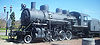
September 28, 2006 Junction of Veterans Memorial Boulevard and 11th St.
38°25′25″N 82°26′27″W / 38.423611°N 82.440833°WHuntington 13 Foster Memorial Home February 27, 2001 700 Madison Ave.
38°24′46″N 82°28′00″W / 38.412778°N 82.466667°WHuntington 14 Freeman Estate April 23, 2009 1805 McCoy Rd.
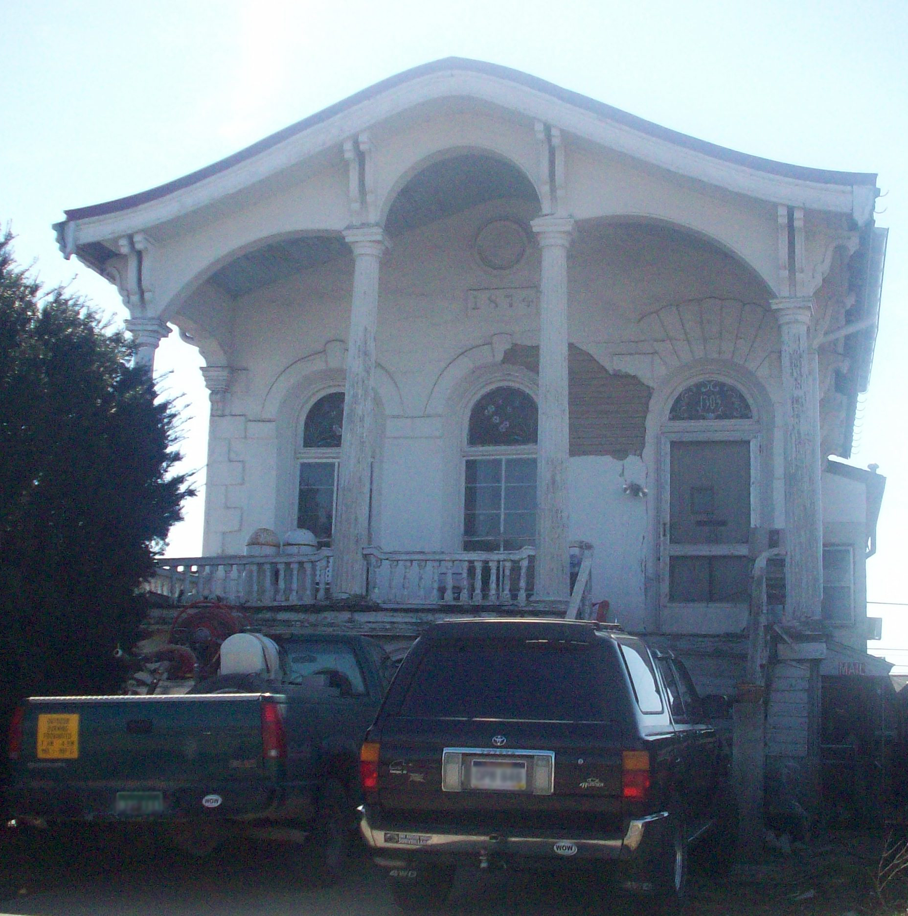
38°24′02″N 82°26′10″W / 38.400511°N 82.436014°WHuntington 15 Harvey House 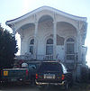
August 21, 1972 1305 3rd Ave.
38°25′24″N 82°26′15″W / 38.423333°N 82.4375°WHuntington 16 Hawthorne Historic District August 2, 2007 Roughly Hawthorne Way and portions of S. Whitaker Boulevard
38°24′22″N 82°26′39″W / 38.406233°N 82.44405°WHuntington 17 Huntington High School 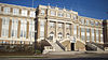
April 4, 2000 900 8th St.
38°24′49″N 82°26′36″W / 38.413611°N 82.443333°WHuntington 18 Gen. Albert Gallatin Jenkins House 
May 22, 1978 8814 Ohio River Rd.
38°35′12″N 82°14′58″W / 38.586667°N 82.249444°WGreen Bottom 19 Johnston-Meek House April 14, 2004 203 6th Ave.
38°24′55″N 82°27′16″W / 38.415278°N 82.454444°WHuntington 20 Kenwood August 2, 2007 619 Ridgewood Rd.
38°24′10″N 82°26′43″W / 38.402778°N 82.445278°WHuntington 21 Liggett and Myers Tobacco Company August 14, 1998 9 27th St.
38°26′02″N 82°24′33″W / 38.433889°N 82.409167°WHuntington 22 Masonic Temple-Watts, Ritter, Wholesale Drygoods Company Building 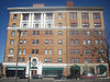
August 26, 1993 1100-1108 E. 3rd Ave.
38°25′22″N 82°26′28″W / 38.422778°N 82.441111°WHuntington 23 Memorial Arch April 16, 1981 Memorial Park
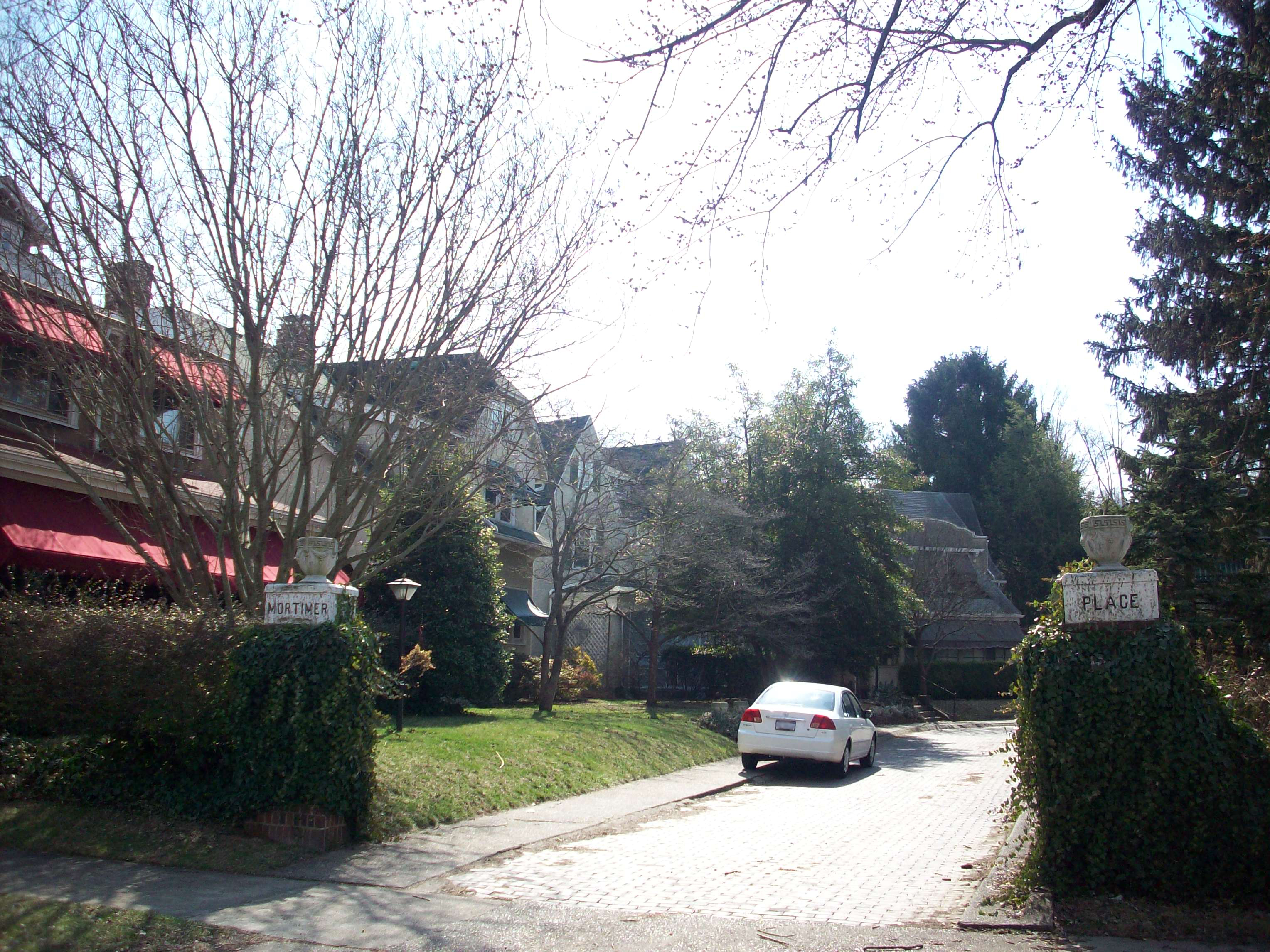
38°24′23″N 82°27′46″W / 38.406389°N 82.462778°WHuntington 24 Mortimer Place Historic District 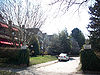
March 12, 2001 Bounded by an alley, 10th St., 12th Ave., and 11th St.
38°24′35″N 82°26′17″W / 38.409722°N 82.438056°WHuntington 25 Mud River Covered Bridge 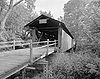
June 10, 1975 Off U.S. Route 60 on County Route 25 over the Mud River
38°25′51″N 82°08′22″W / 38.430833°N 82.139444°WMilton 26 Ninth Street West Historic District November 28, 1980 9th St. West and Madison and Jefferson Aves.
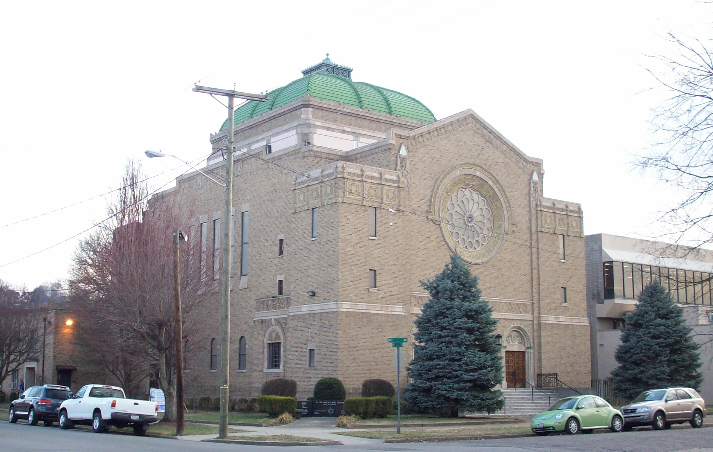
38°24′44″N 82°28′14″W / 38.412222°N 82.470556°WHuntington 27 Ohev Sholom Temple 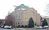
March 17, 1994 949 10th Ave.
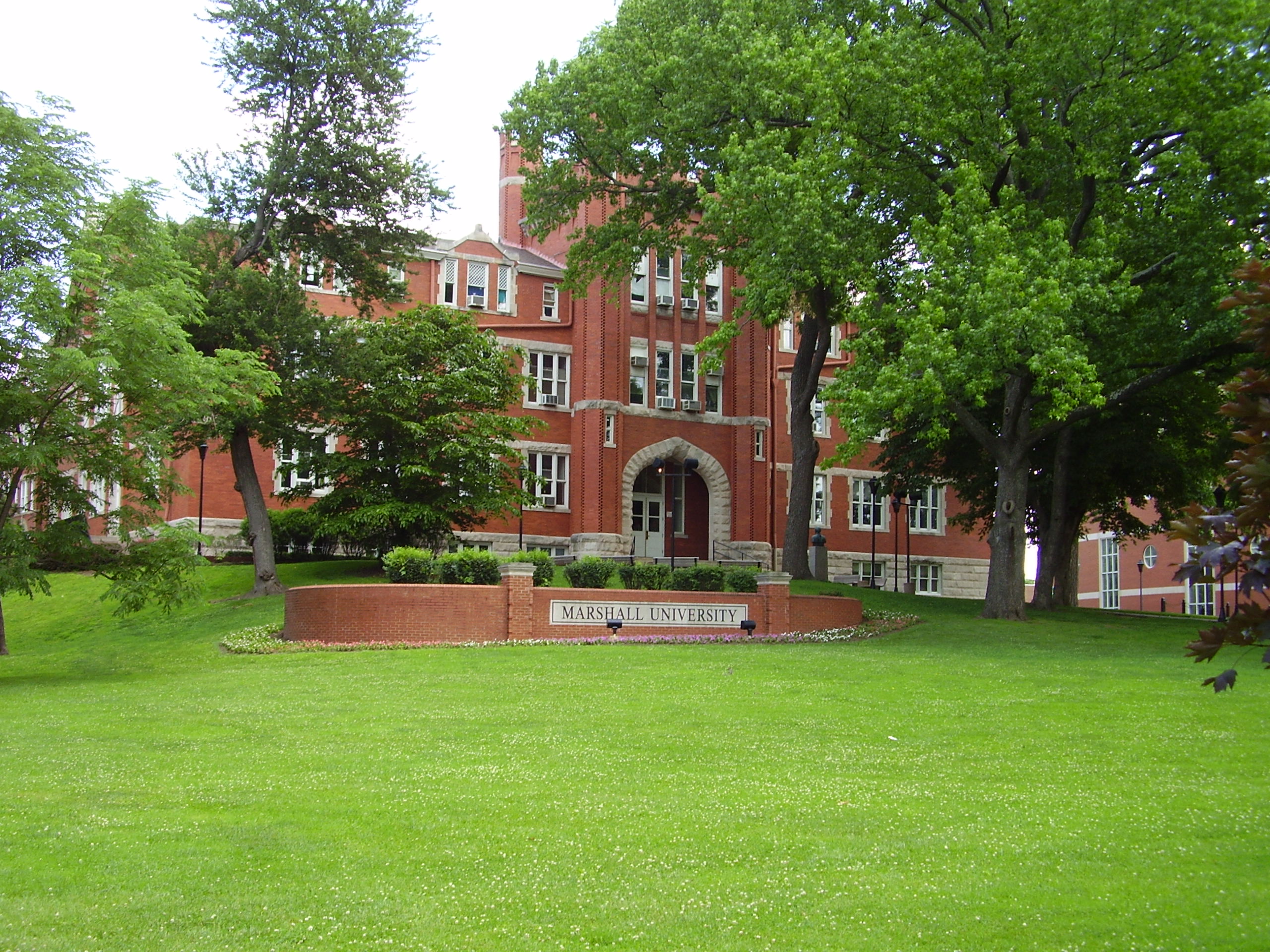
38°24′44″N 82°26′24″W / 38.412222°N 82.44°WHuntington 28 Old Main, Marshall University 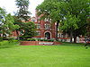
July 16, 1973 Hal Greer Boulevard on the Marshall University campus
38°25′23″N 82°25′47″W / 38.423056°N 82.429722°WHuntington 29 Prichard House March 12, 2001 500 12th Ave.
38°24′31″N 82°26′51″W / 38.408611°N 82.4475°WHuntington 30 Ricketts House July 15, 1994 2301 Washington Boulevard
38°24′21″N 82°24′44″W / 38.405833°N 82.412222°WHuntington 31 Ritter Park Historic District 
November 28, 1990 Ritter Park, including northern boundary streets
38°24′15″N 82°26′16″W / 38.404167°N 82.437778°WHuntington 32 Rotary Park Bridge December 12, 2002 Rotary Park, 31 St., and Rotary Dr.
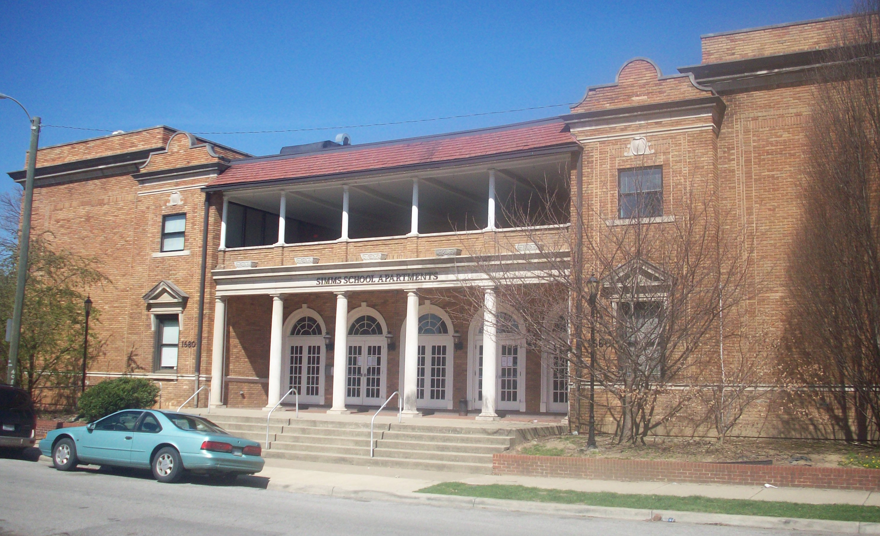
38°25′07″N 82°23′39″W / 38.418611°N 82.394167°WHuntington 33 Simms School Building 
May 12, 1997 1680 11th Ave.
38°24′50″N 82°25′34″W / 38.413889°N 82.426111°WHuntington 34 Thornburg House April 25, 1991 700 Main St.
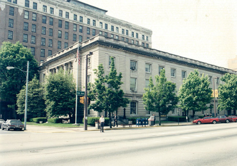
38°24′35″N 82°17′40″W / 38.409722°N 82.294444°WBarboursville 35 U.S. Post Office and Courthouse 
April 15, 1982 9th St. and 5th Ave.
38°25′08″N 82°26′38″W / 38.418889°N 82.443889°WHuntington 36 Zachary Taylor Wellington House December 24, 2008 415 Main St.
38°25′29″N 82°23′23″W / 38.42477°N 82.38965°WHuntington 37 West Virginia Colored Children's Home 
November 13, 1997 3353 U.S. Route 60
38°24′34″N 82°22′25″W / 38.409444°N 82.373611°WHuntington Demolished on May 5, 2011 to make room for a new middle school.[4][5] See also
- List of National Historic Landmarks in West Virginia
- National Register of Historic Places listings in West Virginia
References
- ^ The latitude and longitude information provided in this table was derived originally from the National Register Information System, which has been found to be fairly accurate for about 99% of listings. For about 1% of NRIS original coordinates, experience has shown that one or both coordinates are typos or otherwise extremely far off; some corrections may have been made. A more subtle problem causes many locations to be off by up to 150 yards, depending on location in the country: most NRIS coordinates were derived from tracing out latitude and longitudes off of USGS topographical quadrant maps created under the North American Datum of 1927, which differs from the current, highly accurate WGS84 GPS system used by Google maps. Chicago is about right, but NRIS longitudes in Washington are higher by about 4.5 seconds, and are lower by about 2.0 seconds in Maine. Latitudes differ by about 1.0 second in Florida. Some locations in this table may have been corrected to current GPS standards.
- ^ "National Register of Historic Places: Weekly List Actions". National Park Service, United States Department of the Interior. Retrieved on November 10, 2011.
- ^ Numbers represent an ordering by significant words. Various colorings, defined here, differentiate National Historic Landmark sites and National Register of Historic Places Districts from other NRHP buildings, structures, sites or objects.
- ^ http://www.herald-dispatch.com/news/briefs/x1411939090/Cabell-school-officials-ready-to-mitigate-loss-of-old-orphanage
- ^ Herald-Dispatch.com, Huntongton, WV, May 6, 2011
U.S. National Register of Historic Places in West Virginia Lists by county Barbour • Berkeley • Boone • Braxton • Brooke • Cabell • Calhoun • Clay • Doddridge • Fayette • Gilmer • Grant • Greenbrier • Hampshire • Hancock • Hardy • Harrison • Jackson • Jefferson • Kanawha • Lewis • Lincoln • Logan • Marion • Marshall • Mason • McDowell • Mercer • Mineral • Mingo • Monongalia • Monroe • Morgan • Nicholas • Ohio • Pendleton • Pleasants • Pocahontas • Preston • Putnam • Raleigh • Randolph • Ritchie • Roane • Summers • Taylor • Tucker • Tyler • Upshur • Wayne • Webster • Wetzel • Wirt • Wood • Wyoming

Other lists Municipalities and communities of Cabell County, West Virginia City 
Town Village CDPs Other
communitiesFootnotes ‡This populated place also has portions in an adjacent county or counties
-


Wikimedia Foundation. 2010.