- National Register of Historic Places listings in Auglaize County, Ohio
-
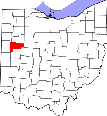 Location of Auglaize County in Ohio
This is a list of the National Register of Historic Places listings in Auglaize County, Ohio.
This is intended to be a complete list of the properties and districts on the National Register of Historic Places in Auglaize County, Ohio, United States. The locations of National Register properties and districts for which the latitude and longitude coordinates are included below, may be seen in a Google map.[1]
There are 24 properties and districts listed on the National Register in the county, including 1 National Historic Landmark.
-
- This National Park Service list is complete through NPS recent listings posted November 10, 2011.[2]
Current listings
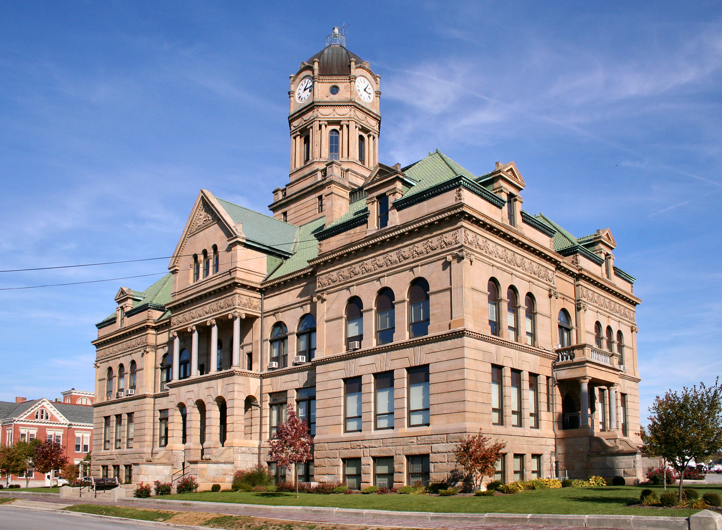
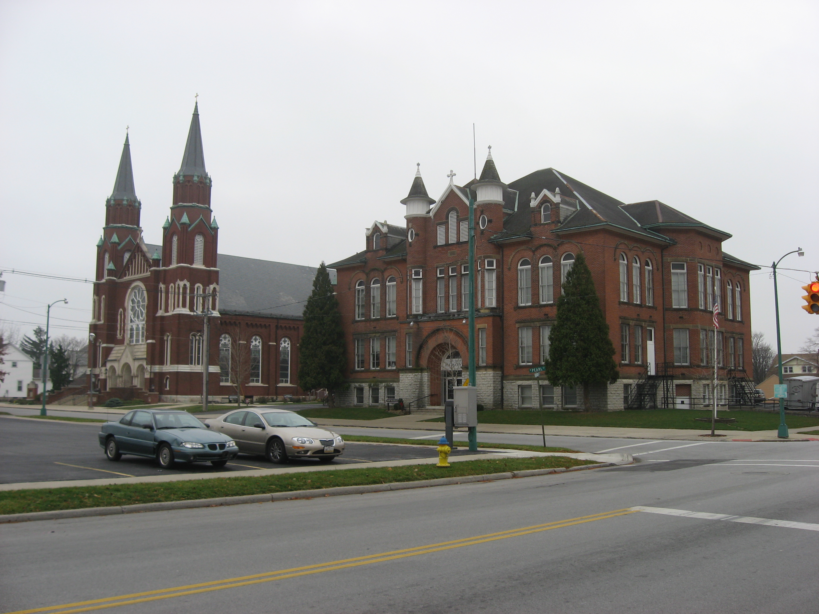
[3] Landmark name [4] Image Date listed Location City or town Summary 1 Auglaize County Courthouse 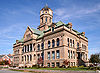
May 7, 1973 Courthouse Sq.
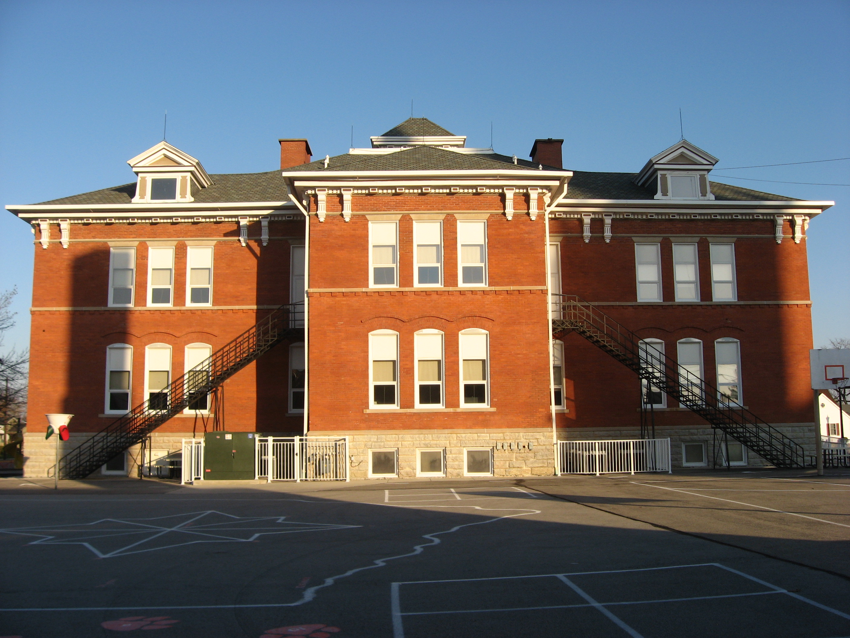
40°34′06″N 84°11′40″W / 40.568333°N 84.194444°WWapakoneta 2 Blume High School 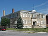
August 22, 1996 405-409 S. Blackhoof St.
40°33′58″N 84°11′50″W / 40.566111°N 84.197222°WWapakoneta 3 Adolph Boesel House 
November 29, 1979 110 S. Franklin St.
40°26′04″N 84°23′01″W / 40.434444°N 84.383611°WNew Bremen Destroyed[5] 4 Julius Boesel House 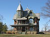
March 30, 1978 North of New Bremen on Quellhorst Rd.
40°26′56″N 84°22′40″W / 40.448889°N 84.377778°WGerman Township 5 Egypt Catholic Church and Rectory 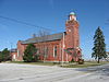
July 26, 1979 Junction of Minster-Egypt Rd. and State Route 364 at Egypt
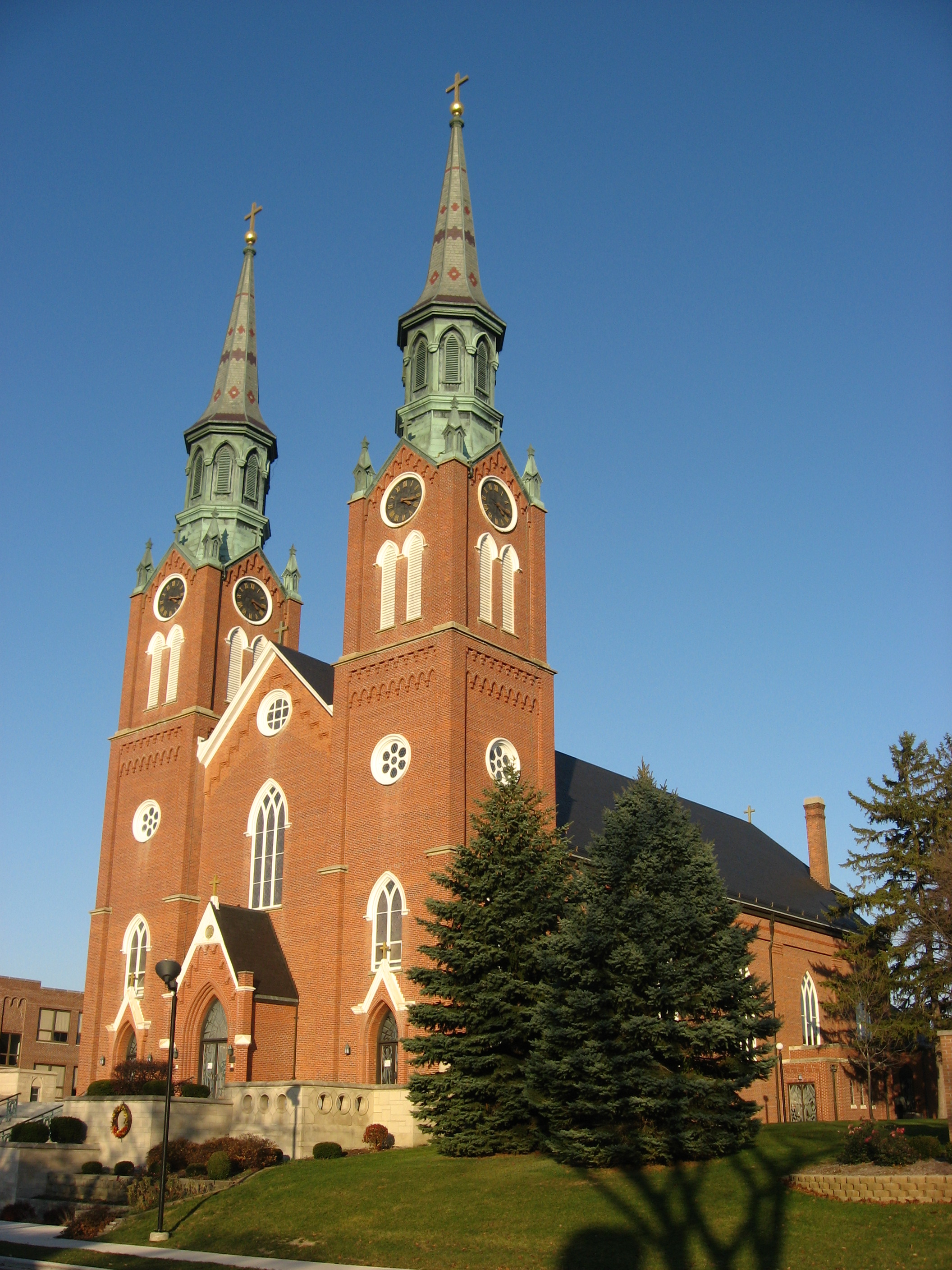
40°23′05″N 84°26′04″W / 40.384722°N 84.434444°WJackson Township 6 First Presbyterian Church of Wapakoneta 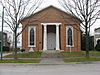
August 23, 1985 106 W. Main St.
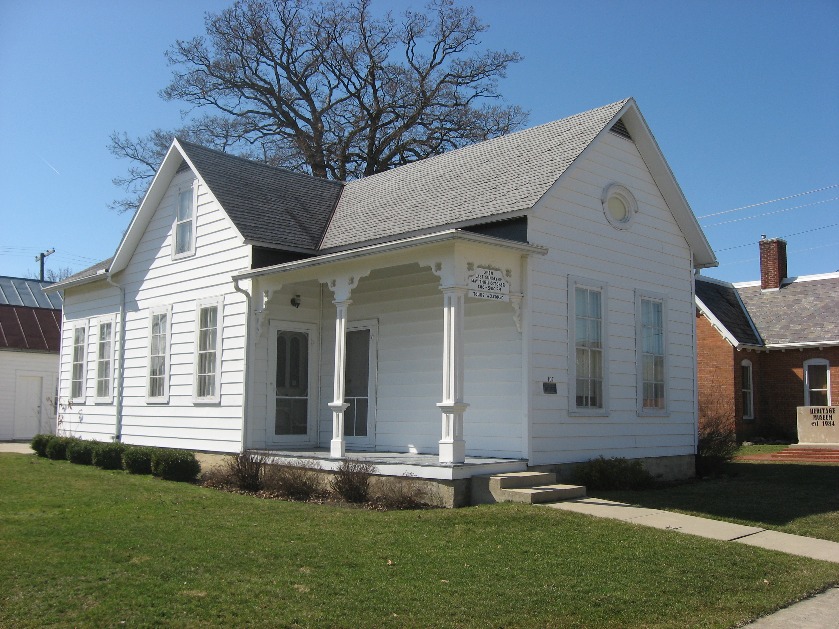
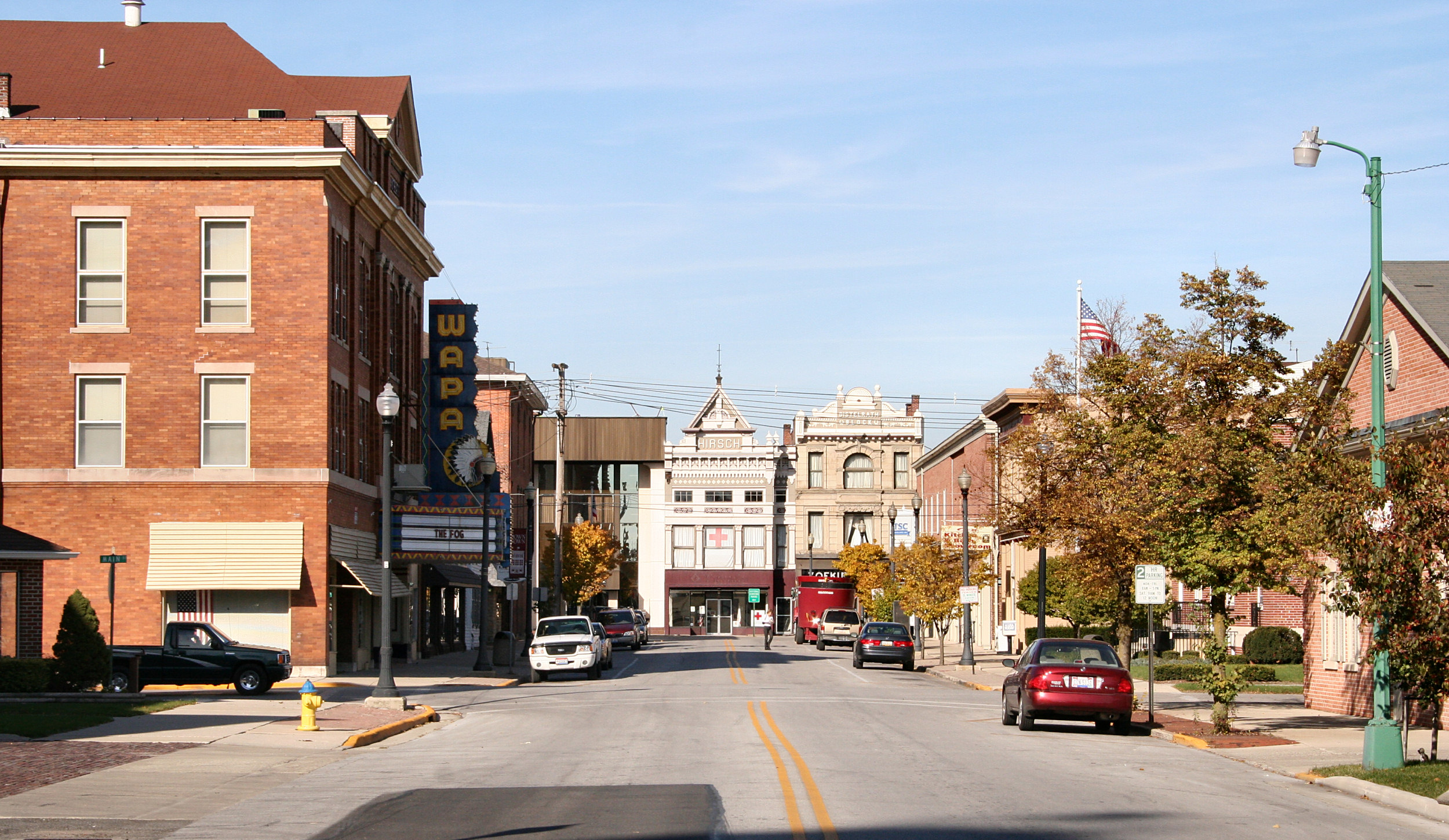
40°34′11″N 84°11′48″W / 40.569722°N 84.196667°WWapakoneta 7 H.E. Fledderjohann House, Doctor's Office and Summer Kitchen 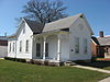
December 10, 1993 107 E. German St.
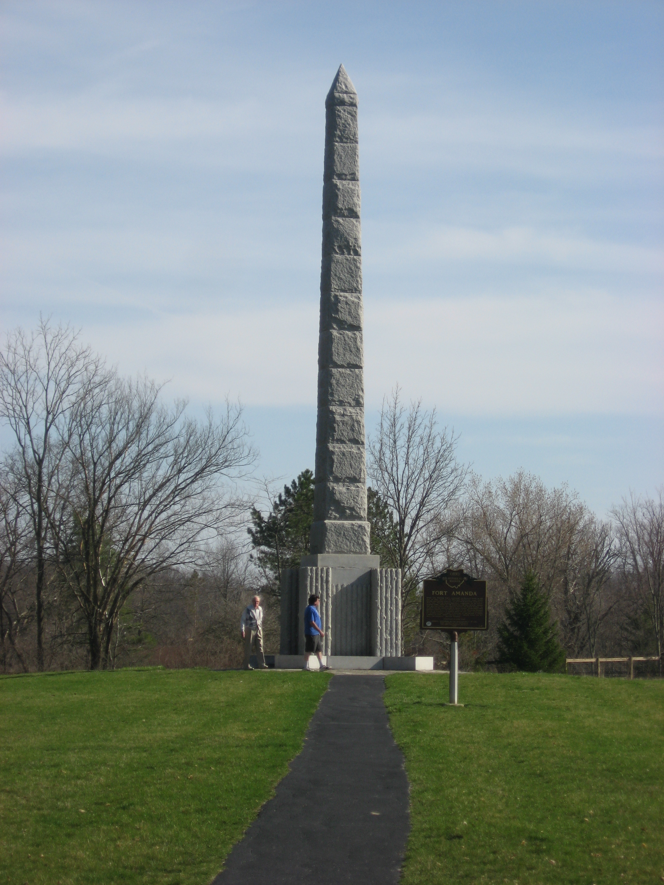
40°29′36″N 84°18′56″W / 40.493333°N 84.315556°WNew Knoxville 8 Fort Amanda Site 
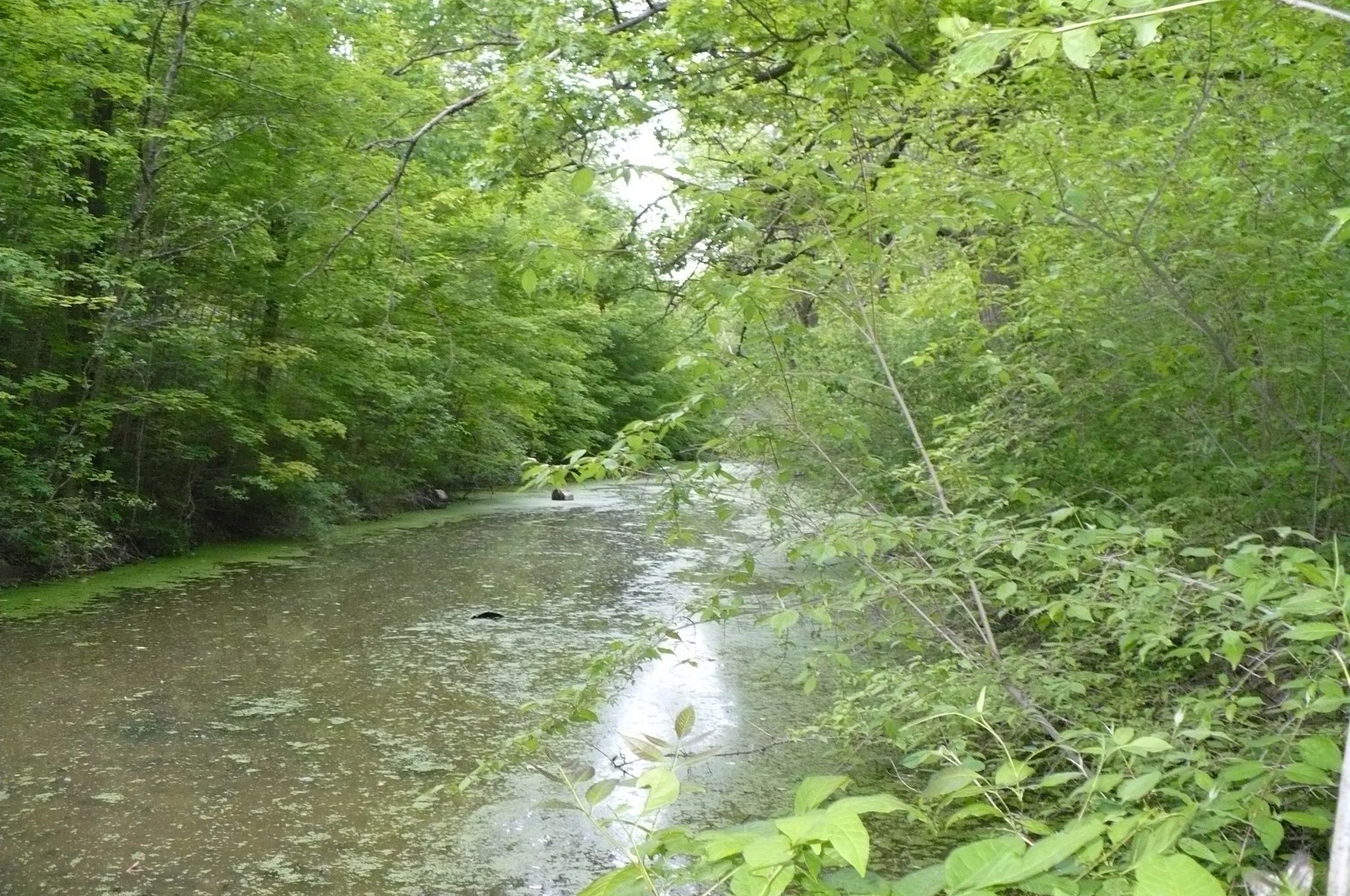
November 10, 1970 9 mi (14 km) northwest of Wapakoneta on State Route 198
40°40′53″N 84°16′06″W / 40.681389°N 84.268333°WLogan Township 9 The Fountain Hotel 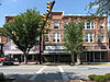
December 19, 1997 100-110 W. Spring St.
40°32′34″N 84°23′20″W / 40.542778°N 84.388889°WSt. Marys 10 Glynnwood Catholic Church 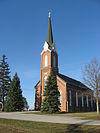
July 26, 1979 6 mi (9.7 km) northeast of St. Marys on Glynnwood Rd. in Glynnwood
40°34′59″N 84°19′05″W / 40.583056°N 84.318056°WMoulton Township 11 Holy Rosary Catholic Church 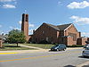
July 26, 1979 Junction of E. Spring and S. Pine Sts.
40°32′42″N 84°22′58″W / 40.545°N 84.382778°WSt. Marys Destroyed and replaced with a modern structure 12 William Luelleman House 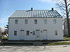
May 21, 1975 122 N. Main St.
40°26′20″N 84°22′56″W / 40.438889°N 84.382222°WNew Bremen 13 Miami and Erie Canal Deep Cut 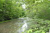
October 15, 1966 2 mi (3.2 km) south of Spencerville on State Route 66
40°41′06″N 84°21′57″W / 40.68497°N 84.36575°WSalem Township Extends into Spencer Township in Allen County 14 Minster Elementary School 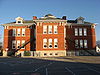
July 26, 1979 Lincoln St.
40°23′42″N 84°22′44″W / 40.395°N 84.378889°WMinster 15 John H. Nichols House 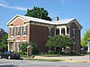
July 14, 1988 103 S. Blackhoof St.
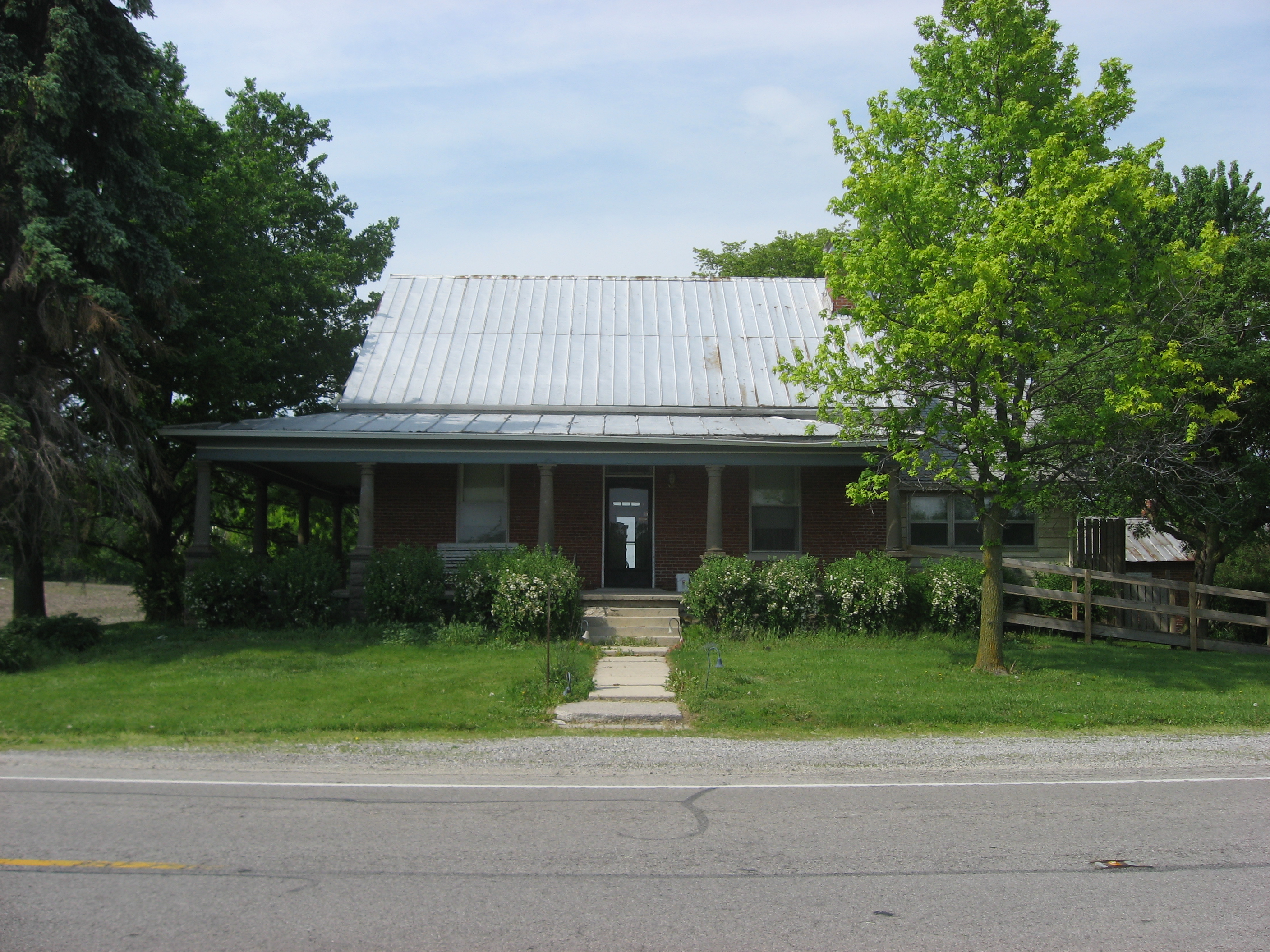
40°34′10″N 84°11′47″W / 40.569444°N 84.196389°WWapakoneta 16 Hugh T. Rinehart House 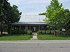
November 27, 1978 22011 State Route 67, east of Uniopolis
40°36′2″N 84°1′57″W / 40.60056°N 84.0325°W[6]Union Township 17 Round Barn 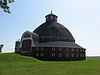
April 17, 1980 Along State Route 385, 3 mi (4.8 km) east of New Hampshire
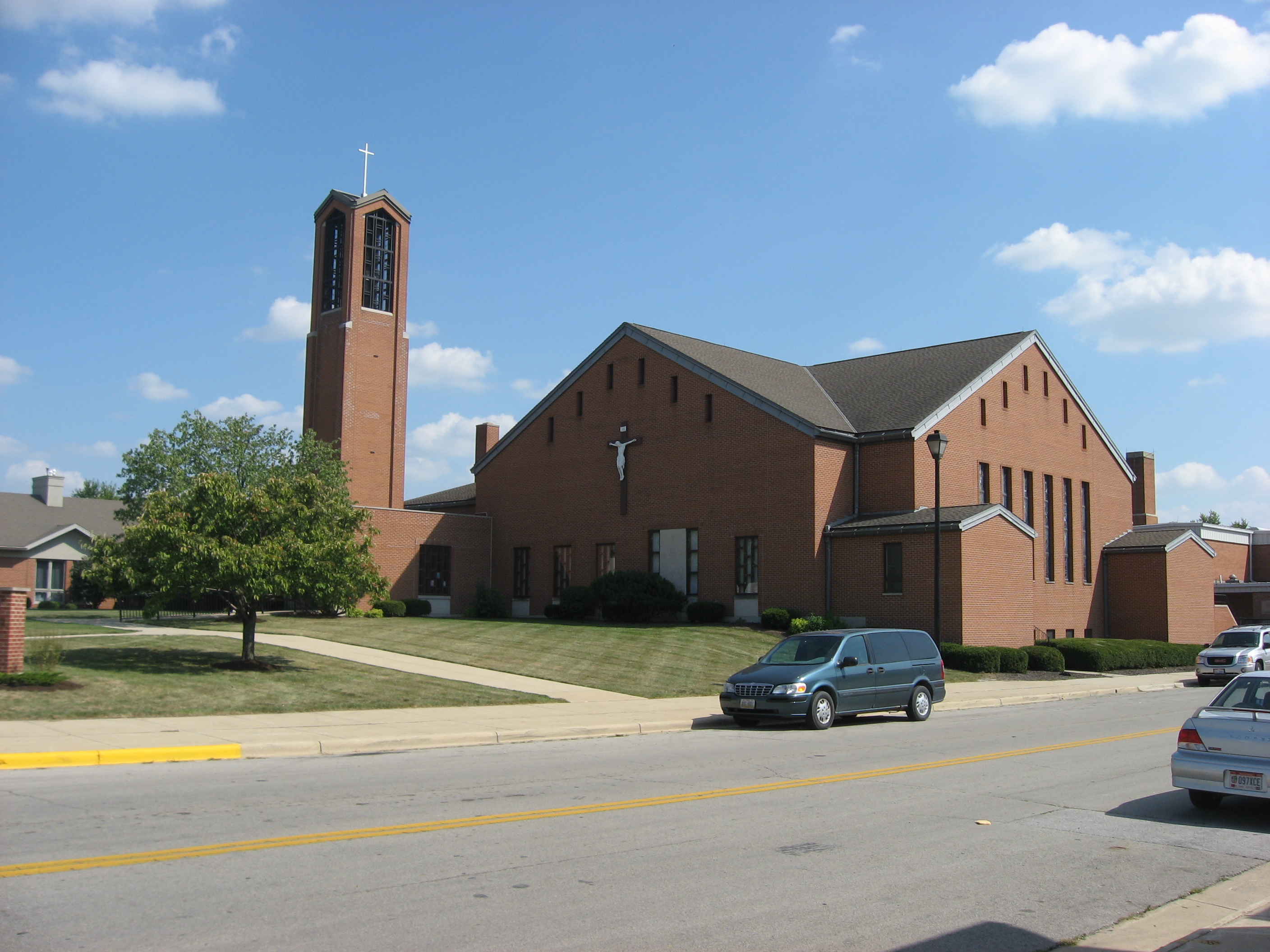
40°33′24″N 83°53′35″W / 40.556667°N 83.893056°WGoshen Township 18 St. Augustine Catholic Church 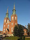
July 26, 1979 N. Hanover St.
40°23′40″N 84°22′47″W / 40.394444°N 84.379722°WMinster 19 St. John Catholic Church and Parish Hall 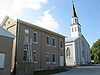
July 26, 1979 Southwestern corner of Schlemel and Van Buren Sts. in Fryburg
40°30′58″N 84°08′54″W / 40.516°N 84.148333°WPusheta Township 20 St. Joseph Catholic Church and School 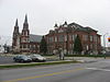
July 26, 1979 309 S. Perry St.
40°34′04″N 84°11′43″W / 40.567778°N 84.195278°WWapakoneta 21 Uniopolis Town Hall 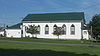
July 22, 1994 Ohio St. (State Route 67) east of its junction with Main St.
40°36′08″N 84°05′15″W / 40.602222°N 84.0875°WUniopolis 22 Wapakoneta Commercial Historic District 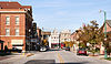
January 5, 1989 Roughly bounded by Auglaize, Park, Main, and Blackhoof Sts.
40°34′12″N 84°11′39″W / 40.57°N 84.194167°WWapakoneta 23 Dr. Issac Elmer Williams House and Office 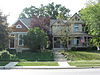
May 8, 1979 407-411 N. Main St.
40°32′44″N 84°23′34″W / 40.545556°N 84.392778°WSt. Marys 24 Charles Wintzer Building 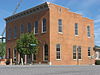
July 8, 2010 202 W. Auglaize St.
40°34′15″N 84°11′47″W / 40.570833°N 84.196389°WWapakoneta See also
References
- ^ The latitude and longitude information provided in this table was derived originally from the National Register Information System, which has been found to be fairly accurate for about 99% of listings. For about 1% of NRIS original coordinates, experience has shown that one or both coordinates are typos or otherwise extremely far off; some corrections may have been made. A more subtle problem causes many locations to be off by up to 150 yards, depending on location in the country: most NRIS coordinates were derived from tracing out latitude and longitudes off of USGS topographical quadrant maps created under the North American Datum of 1927, which differs from the current, highly accurate WGS84 GPS system used by Google maps. Chicago is about right, but NRIS longitudes in Washington are higher by about 4.5 seconds, and are lower by about 2.0 seconds in Maine. Latitudes differ by about 1.0 second in Florida. Some locations in this table may have been corrected to current GPS standards.
- ^ "National Register of Historic Places: Weekly List Actions". National Park Service, United States Department of the Interior. Retrieved on November 10, 2011.
- ^ Numbers represent an ordering by significant words. Various colorings, defined here, differentiate National Historic Landmark sites and National Register of Historic Places Districts from other NRHP buildings, structures, sites or objects.
- ^ "National Register Information System". National Register of Historic Places. National Park Service. . http://nrhp.focus.nps.gov/natreg/docs/All_Data.html.
- ^ Boesel, Adolph, House, Ohio Historical Society, 2007. Accessed 2010-03-16.
- ^ Address visible in this picture of the house; the NRIS lists it as "East of Uniopolis on State Route 67."
National Register of Historic Places in Ohio Lists by county Adams • Allen • Ashland • Ashtabula • Athens • Auglaize • Belmont • Brown • Butler • Carroll • Champaign • Clark • Clermont • Clinton • Columbiana • Coshocton • Crawford • Cuyahoga • Darke • Defiance • Delaware • Erie • Fairfield • Fayette • Franklin • Fulton • Gallia • Geauga • Greene • Guernsey • Hamilton • Hancock • Hardin • Harrison • Henry • Highland • Hocking • Holmes • Huron • Jackson • Jefferson • Knox • Lake • Lawrence • Licking • Logan • Lorain • Lucas • Madison • Mahoning • Marion • Medina • Meigs • Mercer • Miami • Monroe • Montgomery • Morgan • Morrow • Muskingum • Noble • Ottawa • Paulding • Perry • Pickaway • Pike • Portage • Preble • Putnam • Richland • Ross • Sandusky • Scioto • Seneca • Shelby • Stark • Summit • Trumbull • Tuscarawas • Union • Van Wert • Vinton • Warren • Washington • Wayne • Williams • Wood • Wyandot

Lists by city Other lists Municipalities and communities of Auglaize County, Ohio Cities 
Villages Buckland | Cridersville | Minster | New Bremen | New Knoxville | Uniopolis | Waynesfield
Townships Clay | Duchouquet | German | Goshen | Jackson | Logan | Moulton | Noble | Pusheta | Saint Marys | Salem | Union | Washington | Wayne
CDPs Unincorporated
communitiesCategories:- National Register of Historic Places in Ohio by county
- Auglaize County, Ohio
-


Wikimedia Foundation. 2010.