- State Highway 42 (Maharashtra)
-
State Highway 42 (Maharashtra)
Ghodbunder Road Route information Maintained by MSRDC Major junctions From: Kapurbawdi, Thane National Highway 3
National Highway 8To: Ghodbunder, Thane Districts: Thane Highway system Indian Road Network
National • Expressways • State
State Highways in MaharashtraState Highway 42, commonly referred to as Ghodbunder Road, is a normal state highway that runs entirely through district of Thane. It one of the major roads leading out of Thane city and connects the Eastern Express Highway which becomes National Highway 3 at Thane and the Western Express Highway which becomes National Highway 8 at Ghodbunder leading to Gujarat.
Contents
Summary
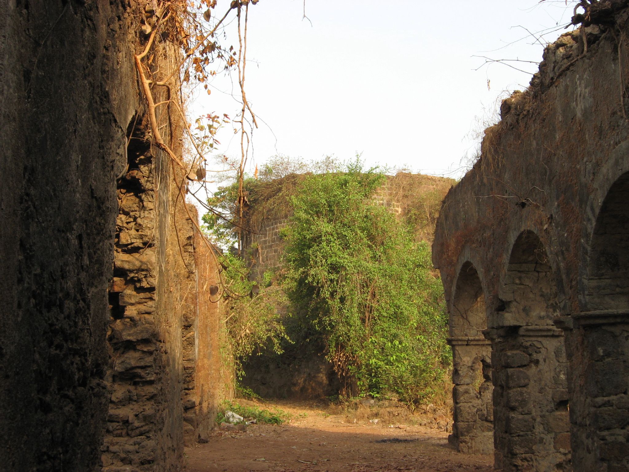
 Ghodbunder fort ruins
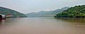
State Highway 42 is also known as Ghodbunder Road in Thane district. As the name suggests, it leads to the historical town of Ghodbunder. It is approximately 20 km long and links the two main arterial roads of Mumbai, the Eastern Express Highway which starts at Sion and becomes National Highway 3 at Thane and the Western Express Highway which starts at Bandra (East) and becomes the National Highway 8 leading to Gujarat. This road skirts the northern boundary of Salsette island providing scenic views of the Yeoor hills and the Thane creek.
One of the more interesting aspects of this road is that it cuts across dense forests which form part of the Sanjay Gandhi National Park. It also skirts the Vasai Creek for most of its route and provides scenic views of the forest across the creek. In spite of development encroaching on the forest, a lot of flora and fauna continue to survive and prosper. Another less-known fact about Ghodbunder is that it is lined with numerous historical monuments like the Ghodbunder fort.
This road at one time used to be the lone road passing by the side of dense Sanjay Gandhi National Park, and hence has real pictureque view's. Even today it passes through China creek which was also famous for film shootings. The original name of creek is Chena Creek, but during the course of time it has become China Creek.
Route description
Below is the brief summary of the route followed by this state highway.
Thane District
Thane Taluka
Major Junctions
The following roads either emanate from it or are crossed by it. This list has been separated by district and talukas for easy reading.
State District Taluka Distance Location of Junction Junction Maharashtra Thane Thane 0 km (0 mi) Majiwada[1] National Highway 3 104 km (65 mi) Ghodbunder[2] National Highway 8 Connections
This highway touches the following important places in its stretch. All the list has been separated by district and talukas for easy reading. Also in each table, the distance of the place from important places in the route of this highway are also mentioned. In recent years Thane city boundaries have expanded to include many villages, hence those villages are now part of thane city residential areas.
Thane District
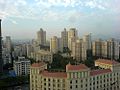
Taluka Name Distance Thane Majiwada Kapurbawdi Manpada Patlipada Kasarwadavli Ghodbunder Thane Thane city 0 km (0 mi) Photos Along MH SH 42
-

Ghodbunder Road
-

Another View along Ghodbunder Road
-
Hiranandani Estate along Ghodbunder Road
-
Scenic View along Ghodbunder Road
-
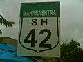
State Highway 42 Shield Marker near Ovale village
References
See also
Maharashtra State Highways Network State Highways 
Major State Highways Categories:- State Highways in Maharashtra
- India road stubs
-


Wikimedia Foundation. 2010.