- Cruggleton Castle
-
Cruggleton Castle Cruggleton, Dumfries and Galloway, Scotland
UK grid reference NX483428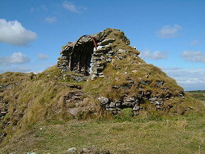
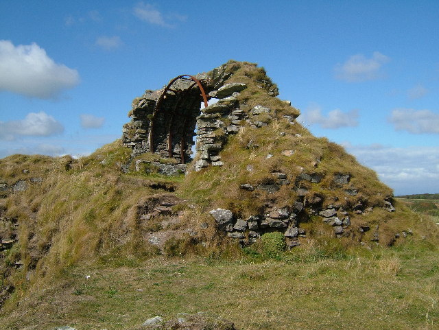
The castle in 2005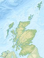
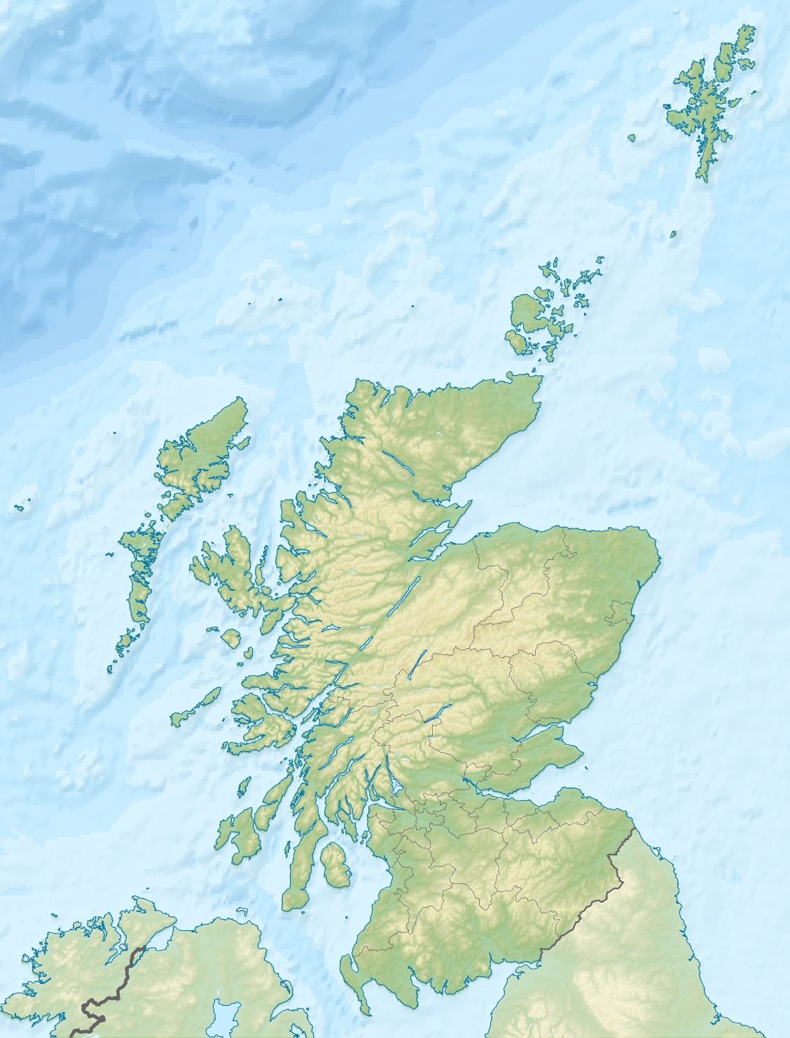
 Shown within Scotland
Type Castle Coordinates 54°45′26″N 4°21′26″W / 54.757167°N 4.357333°WCoordinates: 54°45′26″N 4°21′26″W / 54.757167°N 4.357333°W Built 13th Century Construction
materialsStone Current
conditionRuined Current
ownerPrivate Open to
the publicYes Cruggleton Castle is a ruined castle on the eastern coast of the Machars peninusula, Dumfries and Galloway, Scotland.
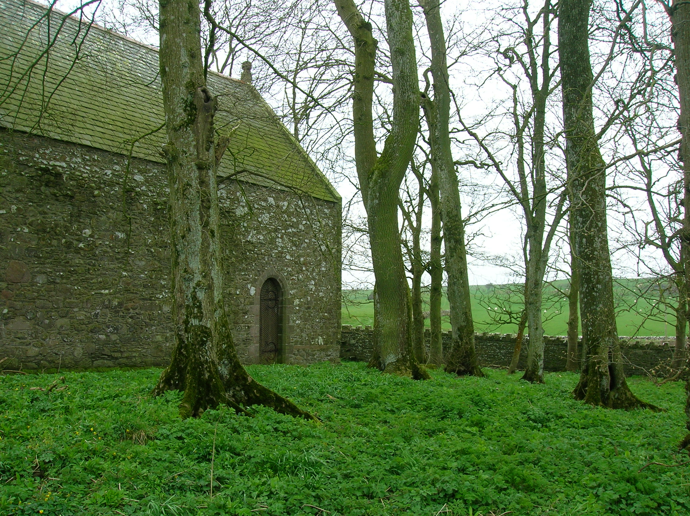
 Cruggleton Church, north facing side.
It is located on a high outcrop of shale, part of the cliff edge, about 4 km south east of the village of Garlieston. The name 'Cruggleton' is taken to derive from the rocky nature of the site.[1]
Evidence exists of a settlement at Cruggleton as far back as the 1st century, however it was not until the 12th century that a stone tower was constructed on a motte, not far from the village of Cruggleton (of which there are no remains).
In the 1290s, John Comyn, Earl of Buchan, had a licence from Edward I. to dig for lead in the Calf of Man (off the coast of the Isle of Man), to cover eight towers of the castle.[2]
Cruggleton was possibly a seat of the Lords of Galloway, passing to the Earls of Buchan, most famously Edward Balliol. It then was held by the Douglas family before becoming part of a grant to the Prior and Canons of Whithorn. By 1569 it was in possession of the Earl of Moray. Several other owners held the castle until the late 17th century when it had become a ruin.
Today the outward remains consist of a narrow section of barrel vaulting in what was the tower (known locally as 'The Arch' and clearly visible from the B7063 Garlieston-Isle of Whithorn road) and several sections of curtain wall, mostly overgrown. The motte is still clearly visible, as is the bailey ditch about 50 metres from the structure itself.
Cruggleton Castle is accessible along a coastal path from the gardens of nearby Galloway House.
Cruggleton Church
 Cruggleton Church
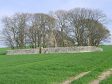
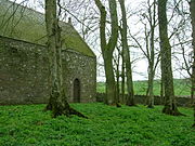 Cruggleton Church south side.
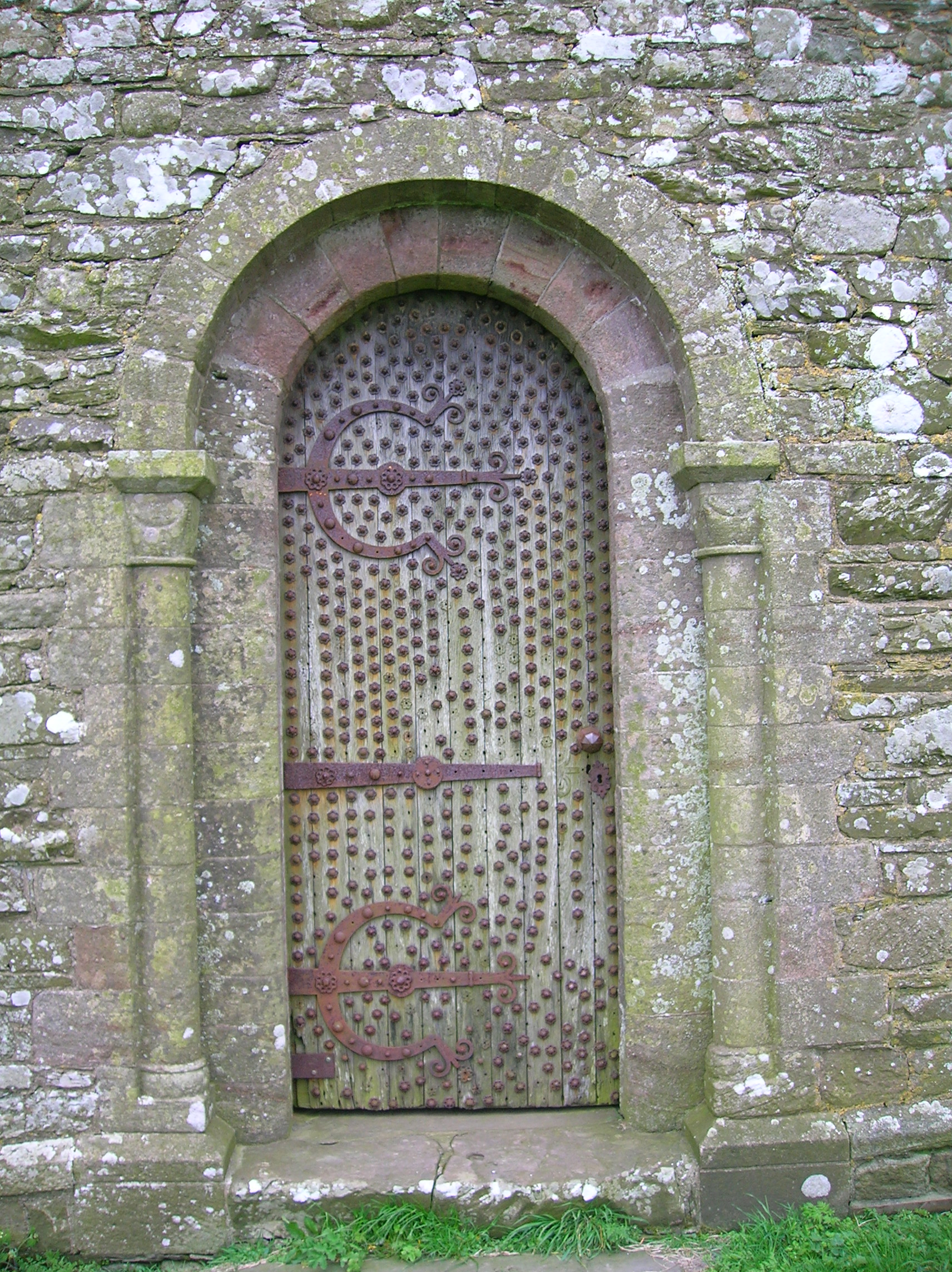
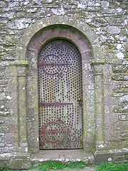 Cruggleton Church door.
Cruggleton Church, about 750m due west, is of Norman origin, having been established in the early 12th century by Fergus, first Lord of Galloway. It may indicate the approximate site of the village of Cruggleton.
The church itself is not directly accessible from the castle as it is located in a copse in the middle of a field. Access is available from the B7063, where it is clearly signposted. The church is locked but the key is available locally (at the neighbouring farm).
References
Categories:- Castles in Dumfries and Galloway


Wikimedia Foundation. 2010.