- Miarinavaratra
-
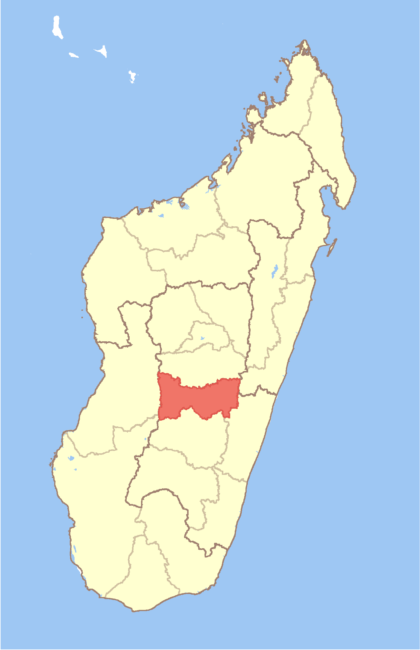
Miarinavaratra Location in Madagascar
 Miarinavaratra
Coordinates: 20°13′S 47°31′E / 20.217°S 47.517°E Country  Madagascar
Region Amoron'i Mania District Fandriana Elevation[1] 1,425 m (4,675 ft) Population (2001)[2] – Total 19,000 Time zone EAT (UTC3) Miarinavaratra is a town and commune in Madagascar. It belongs to the district of Fandriana, which is a part of Amoron'i Mania Region. The population of the commune was estimated to be approximately 19,000 in 2001 commune census.[2]
Primary and junior level secondary education are available in town. The majority 98% of the population of the commune are farmers. The most important crops are rice and beans, while other important agricultural products are fruits, sugarcane, cassava and sweet potatos. Services provide employment for 2% of the population.[2]
References and notes
- ^ Estimated based on DEM data from Shuttle Radar Topography Mission
- ^ a b c "ILO census data". Cornell University. 2002. http://www.ilo.cornell.edu/ilo/data.html. Retrieved 2008-05-13.
Ambatofinandrahana 
Ambositra Alakamisy Ambohijato · Ambalamanakana · Ambatofitorahana · Ambinanindrano · Ambohimitombo · Ambositra · Ambositra II · Andina · Ankazoambo · Antoetra · Fahizay Ambatolahimasina · Ihadilanana · Ilaka Centre · Imerina Imady · Ivato · Ivony Miaramiasa · Kianjandrakefina · Mahazina Ambohipierenana · Marosoa · Sahatsiho Ambohimanjaka · TsarasaotraFandriana Alakamisy Ambohimahazo · Ankarinoro · Betsimisotra · Fandriana · Fiadanana · Imito · Mahazoarivo · Miarinavaratra · Milamaina · Sahamadio · Sandrandahy · Tatamalaza · TsarazazaManandriana Ambatomarina · Ambohimahazo · Ambohimilanja · Ambohipo · Ambovombe Afovoany · Andakatanikely · Andakatany · Anjoma Nandihizana · Anjoman'ankona · Talata VohimenaCoordinates: 20°13′S 47°31′E / 20.217°S 47.517°E

This Amoron'i Mania location article is a stub. You can help Wikipedia by expanding it.