- Mahabako
-
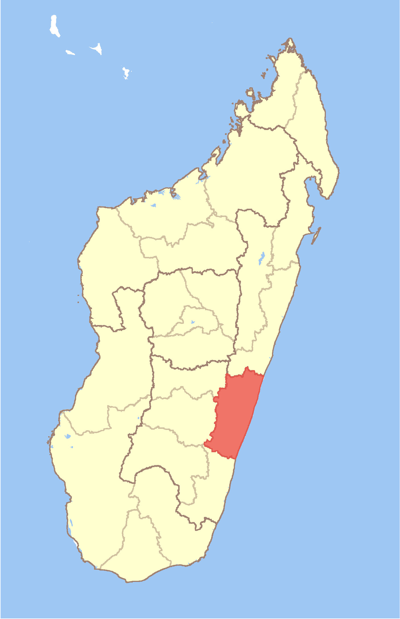
Mahabako Location in Madagascar
 Mahabako
Coordinates: 21°45′S 47°43′E / 21.75°S 47.717°E Country  Madagascar
Region Vatovavy-Fitovinany District Manakara Elevation[1] 210 m (689 ft) Population (2001)[2] – Total 10,000 Time zone EAT (UTC3) Mahabako is a town and commune in Madagascar. It belongs to the district of Manakara, which is a part of Vatovavy-Fitovinany Region. The population of the commune was estimated to be approximately 10,000 in 2001 commune census.[2]
Primary and junior level secondary education are available in town. Farming and raising livestock provides employment for 40% and 40% of the working population. The most important crops are coffee and rice, while other important agricultural products are bananas and cassava. Industry and services provide employment for 5% and 15% of the population, respectively.[2]
References and notes
- ^ Estimated based on DEM data from Shuttle Radar Topography Mission
- ^ a b c "ILO census data". Cornell University. 2002. http://www.ilo.cornell.edu/ilo/data.html. Retrieved 2008-05-03.
Coordinates: 21°45′S 47°43′E / 21.75°S 47.717°E

This Vatovavy-Fitovinany location article is a stub. You can help Wikipedia by expanding it.