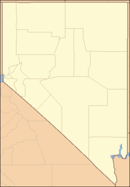
Meadow Valley Wash — Coordinates: 36°39′50″N 114°34′19″W / 36.6638612°N 114.5719316°W / 36.6638612; 114.5719316 … Wikipedia
Meadow Vole — Conservation status Least Concern (IUCN 3.1) … Wikipedia
Meadow Branch — is a 16.7 mile long (26.9 km)[1] tributary stream of Sleepy Creek in West Virginia s Eastern Panhandle region. Meadow Branch s source lies between Sleepy Creek Mountain (1,905 ft) and Third Hill Mountain (2,172 ft) near Locks of… … Wikipedia
Mormon Mountains — Coordinates: 36°56′52.900″N 114°27′36.949″W / 36.948028°N 114.46026361°W / 36.948028; 114.46026361 … Wikipedia
Death Valley National Park — IUCN Category II (National Park) … Wikipedia
Clover Mountains — Coordinates: 37°24′16.884″N 114°19′36.944″W / 37.40469°N 114.32692889°W / 37.40469; 114.32692889 … Wikipedia
Moapa Valley National Wildlife Refuge — Coordinates: 36°42′30″N 114°42′48″W / 36.70833°N 114.71333°W / 36.70833; 114.71333 … Wikipedia
North Jackson Mountains Wilderness — Coordinates: 41°21′40.641″N 118°28′11.576″W / 41.36128917°N 118.46988222°W / 41.36128917; 118.46988222 … Wikipedia
Unicoi Mountains — Geobox|Mountain Range name=Unicoi Mountains category= image caption=The Unicoi Mountains country=United States state=North Carolina| state1=Tennessee parent=Blue Ridge Mountains border= highest=Huckleberry Knob highest elevation imperial=5560… … Wikipedia
Blue Mountains (ecoregion) — The Blue Mountains ecoregion is a Level III ecoregion designated by the United States Environmental Protection Agency (EPA) in the U.S. state of Oregon, with small areas over the state border in Idaho and Washington. It extends from the Redmond… … Wikipedia

