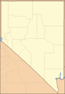
List of mountain ranges of Nevada — There are 313 named mountain ranges in Nevada, some of them quite small but still constituting distinct biomes.*Adobe Range *Anchorite Hills *Antelope Range (Pershing County) *Antelope Range (White Pine County) *Antelope Range (Nye County)… … Wikipedia
Area 51 — This article is about the U.S. Air Force installation in Nevada. For other uses, see Area 51 (disambiguation). Area 51 … Wikipedia
Nevada State Route 375 — State Route 375 Extraterrestrial Highway, Warm Springs Road … Wikipedia
Area 51 — Groom Lake Salzsee und Militärbasis (Bild aus NASA World Wind) … Deutsch Wikipedia
Highway 375 — Basisdaten Gesamtlänge: 98.414 mi/158.382 km Bundesstaat: Nevada … Deutsch Wikipedia
Nevada State Highway 375 — Basisdaten Gesamtlänge: 98.414 mi/158.382 km Bundesstaat: Nevada … Deutsch Wikipedia
Nevada State Route 375 — Autres noms Warm Springs Road Extraterrestrial Highway (Route extraterrestre) … Wikipédia en Français
Aire 51 — Zone 51 37° 14′ 35″ N 115° 48′ 47″ W / 37.24317506879805, 115.81306457519531 … Wikipédia en Français
Area 51 — Zone 51 37° 14′ 35″ N 115° 48′ 47″ W / 37.24317506879805, 115.81306457519531 … Wikipédia en Français
Groom Lake — Zone 51 37° 14′ 35″ N 115° 48′ 47″ W / 37.24317506879805, 115.81306457519531 … Wikipédia en Français

