- Tuktut Nogait National Park
Infobox_protected_area | name = Tuktut Nogait National Park
iucn_category = II
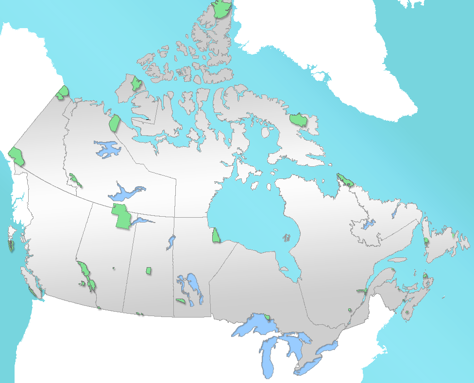
caption = Location of "Tuktut Nogait National Park" inCanada
locator_x = 66
locator_y = 68
location =Northwest Territories ,Canada
nearest_city = Paulatuk
lat_degrees = 69
lat_minutes = 17
lat_seconds = 00
lat_direction = N
long_degrees = 123
long_minutes = 01
long_seconds = 00
long_direction = W
area = 16,340 km²
established = 1996
visitation_num =
visitation_year =
governing_body =Parks Canada Tuktut Nogait National Park (sometimes spelled Tuktuk Nogait) is a
national park located in theNorthwest Territories ofCanada . Meaning "young caribou" inInuvialuktun , the park contains many herds of caribou. However, it is also the home to otherwildlife species, such asMusk Ox ,Grizzly Bear s,Arctic char , and the Grey Wolf. Tuktut Nogait is also a major breeding and nesting ground for a wide variety of migratory birds. Raptors such asPeregrine Falcon s, Rough-legged Hawks,Gyr Falcon s andGolden Eagle s nest along the steep walls of the river canyons.The park encompasses 16,340 square kilometres and is located 170 kilometres north of the
Arctic Circle in the northeast corner of mainland Northwest Territories.Humans have occupied Tuktut Nogait since AD 1000 and recent surveys have identified over 360 archaeological sites in the park. The oldest known archaeological sites are most likely Thule or
Copper Inuit ranging from AD 1200 to 1500. FatherÉmile Petitot was the first European to reach the area in 1867-68. In 1930, theHudson's Bay Company established an outpost at Letty Harbour but the post was closed in 1937 due to insufficient trade. In 1935, a Roman Catholic Mission was located at Paulatuk and operated a small trading post there until 1954. The Inuit who came to Paulatuk and the Darnley Bay area were primarily Mackenzie andAlaska nInuit from the west. In 1955, most people abandoned the Paulatuk mission and moved to Cape Parry where a Distant Early Warning (DEW) line site was being built, which meant seasonal construction and permanent wage labour work.As is outlined in the Inuvialuit Final Agreement and the Tuktut Nogait Agreement,
Inuvialuit beneficiaries have the right to pursue subsistence harvesting within the park. Currently, this takes place in the north-western part of the park and mostly entails fishing Arctic char, hunting caribou, and some trapping. By federal national parks legislation, commercial or sport hunting is not permitted.ee also
*
National Parks of Canada
*List of National Parks of Canada
*List of Northwest Territories parks External links
* [http://pc.gc.ca/pn-np/nt/tuktutnogait/index_e.asp Official Parks Canada site]
* [http://www.newparksnorth.org/tuktut.htm New Parks North: outlines the planned 2005 expansion]
Wikimedia Foundation. 2010.