- North Pickens Airport
-
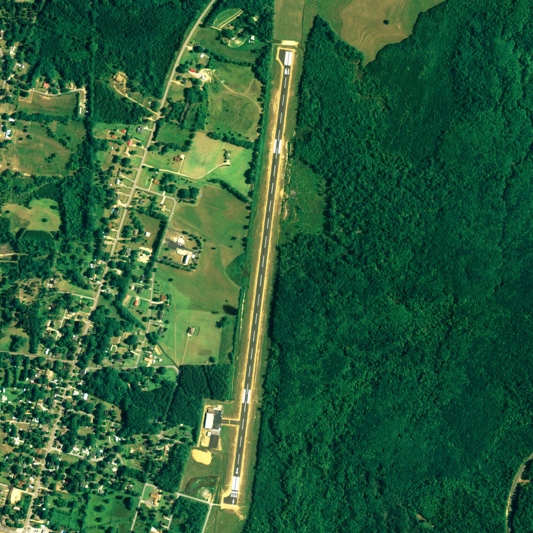
North Pickens Airport 
NAIP aerial image, 2006 IATA: none – ICAO: none – FAA LID: 3M8 Summary Airport type Public Owner Pickens County Commission Serves Pickens County, Alabama Location Reform, Alabama Elevation AMSL 237 ft / 72 m Coordinates 33°23′12″N 088°00′24″W / 33.38667°N 88.00667°W Runways Direction Length Surface ft m 1/19 5,144 1,568 Asphalt Statistics (2009) Aircraft operations 3,466 Based aircraft 11 Source: Federal Aviation Administration[1] North Pickens Airport (FAA LID: 3M8) is a county-owned public-use airport in Pickens County, Alabama, United States. It is located one nautical mile (1.15 mi, 1.85 km) north of the central business district of Reform, Alabama.[1] The airport is included in the FAA's National Plan of Integrated Airport Systems for 2011–2015, which categorized it as a general aviation facility.[2]
Facilities and aircraft
North Pickens Airport covers an area of 64 acres (26 ha) at an elevation of 237 feet (72 m) above mean sea level. It has one runway designated 1/19 with an asphalt surface measuring 5,144 by 80 feet (1,568 x 24 m).[1]
For the 12-month period ending November 2, 2009, the airport had 3,466 general aviation aircraft operations, an average of 288 per month. At that time there were 11 aircraft based at this airport: 64% single-engine, 18% multi-engine and 18% jet.[1]
References
- ^ a b c d FAA Airport Master Record for 3M8 (Form 5010 PDF). Federal Aviation Administration. Effective 30 June 2011.
- ^ National Plan of Integrated Airport Systems for 2011–2015: Appendix A (PDF, 2.03 MB). Federal Aviation Administration. Updated 4 October 2010.
External links
- FAA Terminal Procedures for 3M8, effective 20 October 2011
- Resources for this airport:
- AirNav airport information for 3M8
- FlightAware airport information and live flight tracker
- SkyVector aeronautical chart for 3M8
Categories:- Airports in Alabama
- Buildings and structures in Pickens County, Alabama
- Transportation in Pickens County, Alabama
- Alabama airport stubs
Wikimedia Foundation. 2010.